Captain Mountain
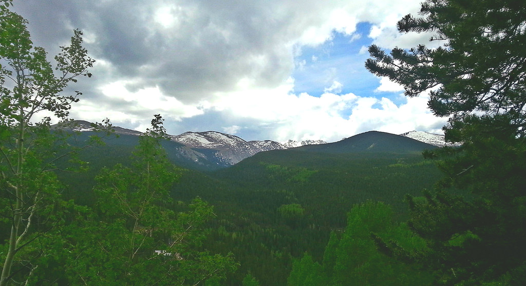 Photo: WasifMalik, CC BY 2.0 (via Flickr)
- 16.5 mi
- round trip
- 799 ft
- climb
- 10,622 ft
- high point
- Out and back
- route
- Jun, Sep
- best months
Is Captain Mountain open right now?
Road closed
CO 5/Mount Blue Sky Road: road closure is listed as closed by CDOT 511.
CO 5/Mount Blue Sky Road: road closure
Closed · ~0.7 km from Captain Mountain · CDOT 511
Fire Restrictions
Agency alert covering Arapaho and Roosevelt National Forests · USFS · Arapaho and Roosevelt National Forests
Slater Lake Area Closure
Agency alert covering Clear Creek Ranger District · Order 02-10-07-26-03 · USFS · Clear Creek Ranger District
Area Closure Surrounding the Devils Nose Target Range
Agency alert covering Clear Creek Ranger District · Order 02-10-07-26-01 · USFS · Clear Creek Ranger District
As of · Source: CDOT 511. Agencies don't list every closure — check before you go.
Captain Mountain is a hard hike in Colorado's Arapaho and Roosevelt National Forests, within the Clear Creek Ranger District. The trail is about 16.5 miles long, starting at the Captain Mountain Trailhead and climbing from a low of about 8,759 feet to a high of about 10,622 feet. The route is an out-and-back, and the Forest Service manages the land. Horses are allowed on the natural-surface trail. Summer is the most comfortable time to go. Typical averages from the nearby Cabin Creek weather station, which sits about 600 feet below the peak, show July highs around 69°F and lows near 46°F, with September cooling to about 61°F. The station's figures also suggest July and August bring the most wet days, 13 and 14 a month. The trail is open from about June 15 to September 1, and parking is at the Captain Mountain Trailhead. Resthouse Meadows and the Resthouse Meadows Trail are both within half a mile, and Echo Lake Campground is about half a mile away. Below the Amphitheater, a climbing area, is about 1.1 miles off.
Best time to go · Jun, Sep
Best time to visit Captain Mountain
Best months: June and September. Best months have typical highs of 55–85 °F, lows of 30 °F or warmer (32 °F where the station doesn't record snow), at most one snowy day and no more than 12 wet days.
Jan
32° / 12°
8 wet
Feb
31° / 11°
8 wet
Mar
38° / 17°
9 wet
Apr
43° / 23°
10 wet
May
53° / 31°
9 wet
Jun
64° / 40°
9 wet
Jul
69° / 46°
13 wet
Aug
67° / 44°
14 wet
Sep
61° / 38°
10 wet
Oct
50° / 29°
7 wet
Nov
39° / 19°
7 wet
Dec
32° / 12°
8 wet
Typical high / low (°F) and days with rain or snow, 1991–2020. Measured at Cabin Creek, CO, 6.6 mi away at 10,020 ft. The station sits about 600 ft lower than this place, so expect it a little cooler here. This station doesn't record snowfall. Source: NOAA NCEI U.S. Climate Normals 1991–2020.
Keep exploring — more trails worth the drive
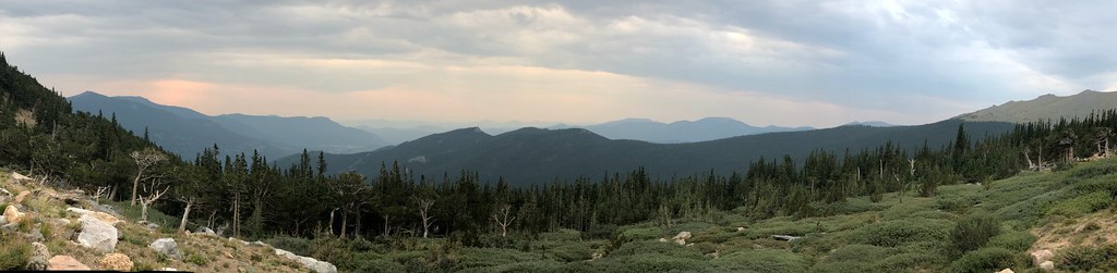 Photo: regexman, CC BY 2.0 (via Flickr)
Resthouse Meadows
Next door
11.76-mile out-and-back trail in Colorado reaching 11,429 ft.
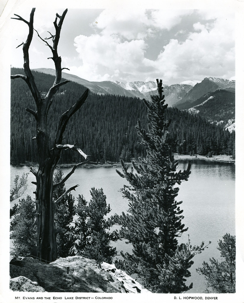 Photo: waterarchives, CC BY-SA 2.0 (via Flickr)
Resthouse Meadows Trail
Next door
1.18-mile out-and-back trail in Colorado with 440 ft elevation gain.
 Photo: The original uploader was MattWright at English Wikipedia., CC BY 2.0 (via Wikimedia Commons)
Chicago Lakes Trail
~2 min drive
1.22-mile out-and-back trail in Colorado with 294 ft elevation gain and loss.
 Photo: dirkdavidson1, Public Domain Dedication (CC0) (via Flickr)
Bard Peak
~14 min drive
Route to the summit of Bard Peak (13,645 ft) from Trailhead.
 Photo: cleong, CC BY-SA 2.0 (via Flickr)
Chicago Lakes
~4 min drive
8.02-mile out-and-back trail in Colorado reaching 12,870 ft.
 Photo: jtsmmm, CC BY 3.0 (via Wikimedia Commons)
Devils Canyon Spur Trail
~3 min drive
3.1-mile out-and-back trail in Colorado with 1,437 ft gain and 10,567 ft max elevation.
 Photo: squeaks2569, CC BY-SA 2.0 (via Flickr)
Lincoln Lake
~5 min drive
1.19-mile out-and-back trail to Lincoln Lake in Colorado, 232 ft gain.
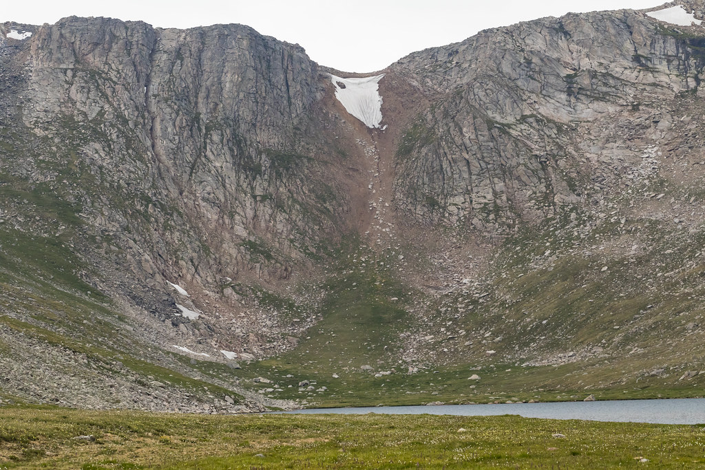 Photo: John Game, CC BY 2.0 (via Flickr)
Rogers Peak
~8 min drive
Route to the summit of Rogers Peak (13,323 ft) from Summit Lake Lot.
 Photo: jtsmmm, CC BY 3.0 (via Wikimedia Commons)
DEVILS CANYON SPUR
~3 min drive
1.82-mile out-and-back trail in Colorado with 1,170 ft elevation gain.
 Photo: designsbykari, CC BY 2.0 (via Flickr)
Chief Mountain
~7 min drive
1.45-mile loop at 11,680 ft with 724 ft gain in Colorado.


