Echo Lake Campground
Campground
Campground · 1.7 mi from the trail
 Photo: jtsmmm, CC BY 3.0 (via Wikimedia Commons)
Caution today
Agency alerts are in effect for this area; weather is good · USFS, OpenWeather · checked just now
Alert in the area
The Forest Service lists 3 alerts for Arapaho and Roosevelt National Forests.
Fire Restrictions
Agency alert covering Arapaho and Roosevelt National Forests · USFS · Arapaho and Roosevelt National Forests
Slater Lake Area Closure
Agency alert covering Clear Creek Ranger District · Order 02-10-07-26-03 · USFS · Clear Creek Ranger District
Area Closure Surrounding the Devils Nose Target Range
Agency alert covering Clear Creek Ranger District · Order 02-10-07-26-01 · USFS · Clear Creek Ranger District
As of · Source: USFS · Arapaho and Roosevelt National Forests. Agencies don't list every closure — check before you go.
Devils Canyon Spur Trail is a moderate hike of about 1.55 miles in the Clear Creek Ranger District of the Arapaho and Roosevelt National Forests in Colorado. The Forest Service manages the land, and the trail is an out-and-back with a steady climb that reaches a high point of about 10,567 feet. The climb is roughly 3.1 miles round trip, with a total gain of about 1,437 feet. The steepest stretch comes around 0.68 miles from the start, where the grade reaches about 19 percent. Summer is the most comfortable time to go. Typical averages from the nearby Cabin Creek weather station run to highs near 69°F in July and 67°F in August, with lows in the mid-40s. That station sits a few hundred feet lower than the trail's high point, so temperatures on the trail run a little cooler. Chicago Creek, a canoeing spot, is about half a mile away. Climbers will find the Amphitheater Area and Below the Amphitheater within about a mile. Echo Lake Campground, about 1.7 miles off, is the closest place to camp.
Echo Lake Campground
Campground
 If it rainsUser:Magicpiano, CC BY-SA 4.0 · Wikimedia Commons
Historic house-museum in Georgetown, Colorado, United States
Places © OpenStreetMap contributors · Photos: User:Magicpiano, CC BY-SA 4.0 (commons)
More in Idaho Springs DEVILS CANYON SPURHikingPhoto: jtsmmm, CC BY 3.0 (via Wikimedia Commons)1.1 mi
 Devil's CanyonHikingPhoto: jtsmmm, CC BY 3.0 (via Wikimedia Commons)1.6 mi
 Echo Lake CampgroundCampingPhoto: squeaks2569 — CC BY-SA 2.0 (via Flickr)1.7 mi
 Clear CreekCanoeingPhoto: Ken Gallager at en.wikipedia, Public domain (via Wikimedia Commons)2.8 mi
Source: Roamze catalog (indexable pages within 10 miles, PostGIS distance)
DEVILS CANYON SPURHiking · ~2 min drivePhoto: jtsmmm, CC BY 3.0 (via Wikimedia Commons) Chicago Lakes TrailHiking · ~3 min drivePhoto: The original uploader was MattWright at English Wikipedia., CC BY 2.0 (via Wikimedia Commons)
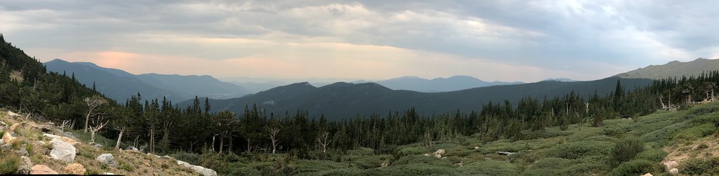 Resthouse MeadowsHiking · ~3 min drivePhoto: regexman, CC BY 2.0 (via Flickr)
 Bard PeakHiking · ~12 min drivePhoto: dirkdavidson1, Public Domain Dedication (CC0) (via Flickr)Devil's CanyonHiking · ~3 min drivePhoto: jtsmmm, CC BY 3.0 (via Wikimedia Commons)
 Chief MountainHiking · ~6 min drivePhoto: designsbykari, CC BY 2.0 (via Flickr)
 Chicago LakesHiking · ~6 min drivePhoto: cleong, CC BY-SA 2.0 (via Flickr)
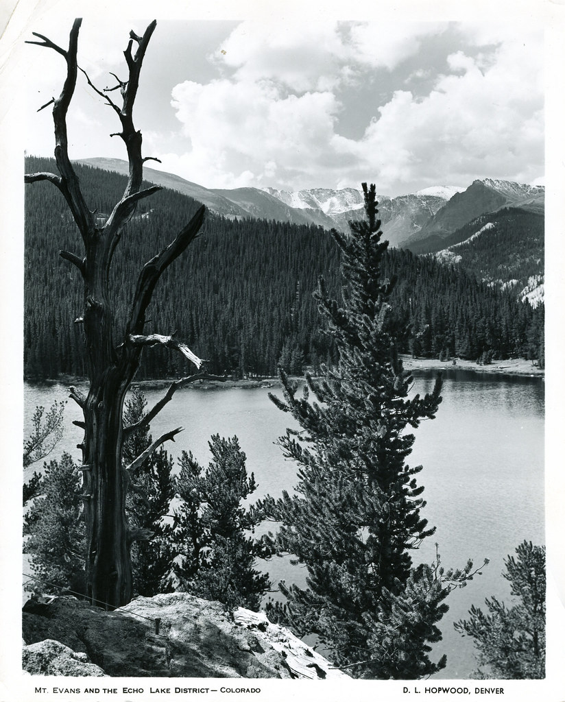 Resthouse Meadows TrailHiking · ~3 min drivePhoto: waterarchives, CC BY-SA 2.0 (via Flickr)
 Goat TrailHiking · ~7 min drivePhoto: Vadim Manuylov, CC BY-SA 3.0 (via Wikimedia Commons)
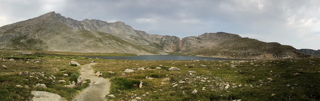 Gray Wolf MountainHiking · ~11 min drivePhoto: regexman, CC BY 2.0 (via Flickr)
Also worth it near here
 East JuniRock climbing · ~2 min drivePhoto: Chris_Short, CC BY-SA 2.0 (via Flickr)Echo Lake CampgroundCamping · ~3 min drivePhoto: squeaks2569 — CC BY-SA 2.0 (via Flickr)Clear CreekCanoeing · ~5 min drivePhoto: Ken Gallager at en.wikipedia, Public domain (via Wikimedia Commons)
 Captain MountainMountain biking · ~5 min drivePhoto: jtsmmm, CC BY 3.0 (via Wikimedia Commons)
Best months: June and September. Best months have typical highs of 55–85 °F, lows of 30 °F or warmer (32 °F where the station doesn't record snow), at most one snowy day and no more than 12 wet days.
Jan
32° / 12°
8 wet
Feb
31° / 11°
8 wet
Mar
38° / 17°
9 wet
Apr
43° / 23°
10 wet
May
53° / 31°
9 wet
Jun
64° / 40°
9 wet
Jul
69° / 46°
13 wet
Aug
67° / 44°
14 wet
Sep
61° / 38°
10 wet
Oct
50° / 29°
7 wet
Nov
39° / 19°
7 wet
Dec
32° / 12°
8 wet
Typical high / low (°F) and days with rain or snow, 1991–2020. Measured at Cabin Creek, CO, 6.6 mi away at 10,020 ft. The station sits about 500 ft lower than this place, so expect it a little cooler here. This station doesn't record snowfall. Source: NOAA NCEI U.S. Climate Normals 1991–2020.
Map and trail data © OpenStreetMap contributors
