
Alpine Lodge at Red Feather Lakes
Hiking business nearby (~39 mi away) — hasn't claimed their Roamze page yet
Free — you'll pick up right here.
Watch this trail
Sign up to watch it — saving subscribes you to gate, closure and report changes.
Colorado
5.2 mi
Distance
1,176 ft
Gain
We won't guess. Here is exactly what we do and don't know.
What we do know
Inside Arapaho and Roosevelt National Forests
2 managing-area boundaries mapped — agency alerts for them feed this page automatically.
Boundary data
What's missing
No access route mapped
We don't yet know which road reaches this trailhead, so we can't tell you if it's gated.
Nobody's filed a report here yet — be the first.
Why you'll love it
Bill Creek
AI-suggested draft · review before you go
Bill Creek is a 5.2-mile out-and-back trail located in Colorado near the town of Colorado, managed by the White River National Forest's Aspen-Sopris Ranger District. This trail offers hikers a straightforward out-and-back route that follows Bill Creek through the national forest. The trail is ideal for those seeking a moderate day hike with reliable water access along the creek corridor. The out-and-back format allows hikers to turn around at any point to customize their distance, making it accessible for various fitness levels. At full length, hikers will cover approximately 10.4 miles round trip. As part of the White River National Forest system, the area is managed to balance recreation with forest conservation. Hikers should be prepared with standard hiking gear and expect typical forest terrain. Water from Bill Creek should be treated before drinking. For current trail conditions, closure information, and specific regulations, contact the Aspen-Sopris Ranger District of White River National Forest. Weather and seasonal conditions can affect trail accessibility in this Colorado location.

Stillwater Pass
~6 min drive
39 mi · Hard

Bowen Gul Og Interp Trl
~9 min drive
1.0 mi · Easy
Bowen-Baker Trailhead
~14 min drive
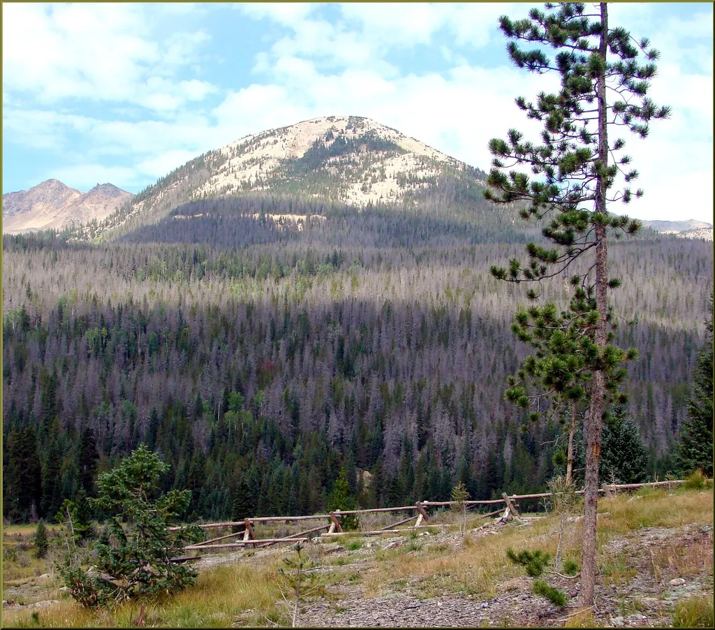
<p>Located on the west side of RMNP, the Bowen-Baker Trail is blanketed with snow in the winter and provides easy access to great cross-country skiing and snowshoeing January through March.</p> <p>On the far side of the meadow sits the Never Summer Range. This forested mountai…
Illinois Pass
~2 min drive
7.3 mi · Moderate
Blue Ridge
~8 min drive
7.1 mi · Hard

Parkview
~9 min drive
3.6 mi · Easy
Wolverine Bypass
~6 min drive
5.0 mi · Moderate
North Supply Loop
~8 min drive
6.3 mi · Hard
Scenic Route
~11 min drive
1.4 mi · Easy
Bowen Lake
~6 min drive
3.4 mi · Moderate
Local operatorsoffering guided trips. You book directly with them — Roamze doesn’t take a cut.
Alpine Lodge at Red Feather Lakes
Hiking business nearby (~39 mi away) — hasn't claimed their Roamze page yet
Wildcat Mountaineering
Hiking business nearby (~39 mi away) — hasn't claimed their Roamze page yet
Camp Always Choose Adventures
Hiking business nearby (~43 mi away) — hasn't claimed their Roamze page yet