Tahquitz Pines
Campground
Campground · 1.3 mi from the trail
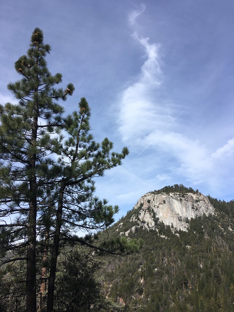 Photo: sergei.gussev, CC BY 2.0 (via Flickr)
Alert in the area
The Forest Service lists 2 alerts for San Bernardino National Forest.
Safety Alert - Falling Rocks at Bonita Falls
Agency alert covering San Bernardino National Forest · USFS · San Bernardino National Forest
Fire Restrictions
Agency alert covering San Bernardino National Forest · Order 05-12-00-26-05 · USFS · San Bernardino National Forest
As of · Source: USFS · San Bernardino National Forest. Agencies don't list every closure — check before you go.
The Climbers is a 3-mile out-and-back hike in the San Jacinto Ranger District of San Bernardino National Forest in California. The trail rises about 900 feet, from roughly 6,234 feet to 7,153 feet, and its natural surface makes it a straightforward route through the high country. For the most comfortable conditions, aim for late spring or early fall. Typical averages from a nearby weather station run around 69°F highs in May and October, with summer highs in the mid-80s. That station sits well below the trail, so temperatures on the route run cooler. The Ernie Maxwell Scenic Trail and the Fence Boulder climbing area both lie about 0.2 miles away, and Devil's Slide is about 0.3 miles off. Farther afield, Fern Basin campground is about 3 miles away.
Tahquitz Pines
Campground
Idyology
Restaurant
 If it rainsVisitor7, CC BY-SA 3.0 · Wikimedia Commons
Places © OpenStreetMap contributors · Photos: Visitor7, CC BY-SA 3.0 (commons)
More in Desert Hot SpringsNot on Roamze yet. Their page has how to reach them.
 Ernie Maxwell Scenic TrailHikingPhoto: atramos, CC BY 2.0 (via Flickr)0.2 mi
 Fence BoulderRock climbingPhoto: Benjamin Crowell, CC BY-SA 4.0 (via Wikimedia Commons)0.2 miDevil's SlideHikingPhoto: atramos, CC BY 2.0 (via Flickr)0.3 mi
 Humber ParkRock climbingPhoto: sergei.gussev, CC BY 2.0 (via Flickr)0.3 mi
 Black Mountain (san Bernardino)CampingPhoto: Recreation.gov (RIDB) / public domain5.5 mi
Source: Roamze catalog (indexable pages within 10 miles, PostGIS distance)
Ernie Maxwell Scenic TrailHiking · Next doorPhoto: atramos, CC BY 2.0 (via Flickr) Suicide RockHiking · Next doorPhoto: sergei.gussev, CC BY 2.0 (via Flickr)
 CarambaHiking · ~2 min drivePhoto: inkknife_2000 (7.5 million views +), CC BY-SA 2.0 (via Wikimedia Commons)Devil's SlideHiking · Next doorPhoto: atramos, CC BY 2.0 (via Flickr)
 Perimeter TrailHiking · ~4 min drivePhoto: sergei.gussev, CC BY 2.0 (via Flickr)
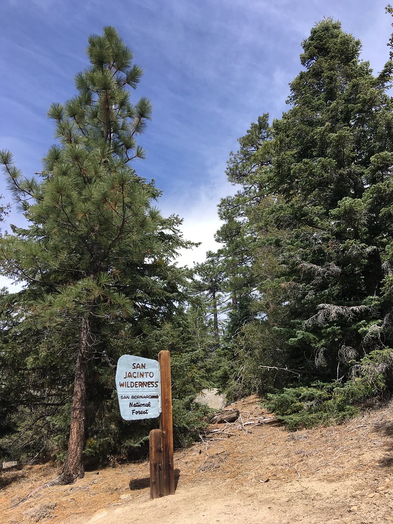 South RidgeHiking · ~4 min drivePhoto: sergei.gussev, CC BY 2.0 (via Flickr)
 Kings TrailHiking · ~3 min drivePhoto: inkknife_2000 (7.5 million views +), CC BY-SA 2.0 (via Wikimedia Commons)Perimeter TrailHiking · ~4 min drivePhoto: sergei.gussev, CC BY 2.0 (via Flickr)
 Deer Springs TrailHiking · ~4 min drivePhoto: inkknife_2000 (7.5 million views +), CC BY-SA 2.0 (via Wikimedia Commons)Ridgeline TrailHiking · ~4 min drivePhoto: sergei.gussev, CC BY 2.0 (via Flickr)
Best months: March–November. Best months have typical highs of 55–85 °F, lows of 30 °F or warmer (32 °F where the station doesn't record snow), at most one snowy day and no more than 12 wet days.
Jan
51° / 37°
7 wet · 1 snow
Feb
51° / 36°
7 wet · 2 snow
Mar
56° / 39°
6 wet · 1 snow
Apr
61° / 42°
4 wet · 1 snow
May
69° / 48°
2 wet
Jun
79° / 57°
1 wet
Jul
84° / 64°
1 wet
Aug
84° / 65°
1 wet
Sep
79° / 60°
1 wet
Oct
69° / 51°
2 wet
Nov
58° / 43°
4 wet
Dec
51° / 37°
6 wet · 1 snow
Typical high / low (°F) and days with rain or snow, 1991–2020. Measured at Palomar Mtn Obsy, CA, 28.1 mi away at 5,550 ft. The station sits about 1,600 ft lower than this place, so expect it a little cooler here. Source: NOAA NCEI U.S. Climate Normals 1991–2020.
