Hunter park path
- 0.5 mi
- loop
- 14 ft
- climb
- 918 ft
- high point
- Loop
- route
- Oct–May
- best months
Clear today
Weather is good · OpenWeather · checked 7 h ago
Hunter Park Path is a short, easy loop in Hunter Park, a city-managed park in California. The route is about half a mile long, with a total elevation gain of 14 feet, and it starts and ends at nearly the same elevation, around 916 feet. The path is flat for most of the way, with the steepest stretch at about 0.45 miles, where the grade reaches about 2 percent. Spring and fall are the most comfortable times to go. Typical averages from a nearby weather station show April highs around 75°F and October highs around 82°F, while July and August average in the low 90s. The loop takes about half an hour to complete. It sits within Hunter Park, and the surrounding area offers more to explore. Sleepers Wall and Knob Wall, both climbing areas, are about 1.9 miles away, and the Blaine Trail is about 2.3 miles off. Paddlers can find San Timoteo Wash roughly 6.6 miles away.
- Sleepers WallRock climbing1.9 mi
- Knob WallRock climbing1.9 mi
- The BackyardRock climbing2 mi
- Blaine TrailHiking2.3 mi
- Park pathHiking2.4 mi
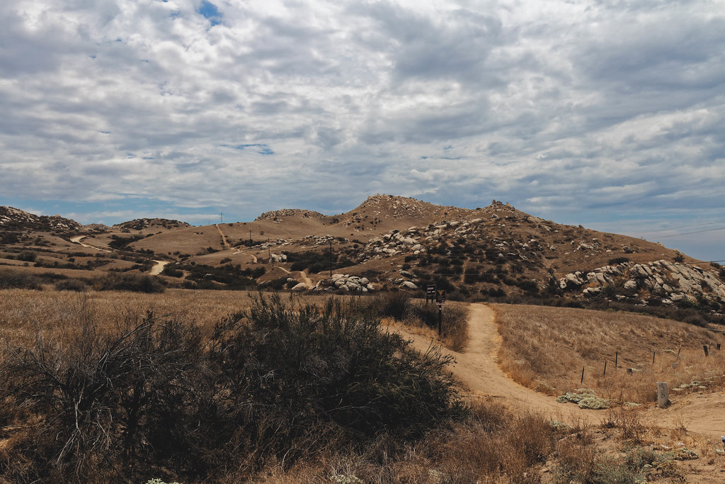 Skyline Loop # 2HikingPhoto: grimneko, CC BY-SA 2.0 (via Flickr)2.5 mi
- San Timoteo WashCanoeing6.6 mi
- Lytle CreekCanoeing7 mi
Source: Roamze catalog (indexable pages within 10 miles, PostGIS distance)
- Skyline Loop # 2Hiking · ~4 min drivePhoto: grimneko, CC BY-SA 2.0 (via Flickr)
- Skyline Loop # 1Hiking · ~5 min drivePhoto: grimneko, CC BY-SA 2.0 (via Flickr)
- Edison TrailHiking · ~5 min drivePhoto: grimneko, CC BY-SA 2.0 (via Flickr)
 Two Trees TrailHiking · ~5 min drivePhoto: grimneko, CC BY-SA 2.0 (via Flickr)
 Spring TrailHiking · ~6 min drivePhoto: grimneko, CC BY-SA 2.0 (via Flickr)
 "M" TrailHiking · ~8 min drivePhoto: grimneko, CC BY-SA 2.0 (via Flickr)
 "M" TrailHiking · ~6 min drivePhoto: grimneko, CC BY-SA 2.0 (via Flickr)
- Gage Canal PathHiking · ~9 min drive
 Cocomaricopa TrailHiking · ~14 min drivePhoto: inkknife_2000 (7.5 million views +), CC BY-SA 2.0 (via Wikimedia Commons)
- West RidgeHiking · ~11 min drive
Also worth it near here
 Hardy Boy AreaRock climbing · ~5 min drivePhoto: nccmrm97, CC BY-SA 2.0 (via Flickr)
 Mount RubidouxSummit · ~5 min drivePhoto: No machine-readable author provided. Takwish assumed (based on copyright claims)., CC BY-SA 2.5 (via Wikimedia Commons)
- Poorman's ReservoirLake fishing · ~10 min drive
- Mountain View AvenueMountain biking · ~11 min drive
Best time to visit Hunter park path
Best months: October–May. Best months have typical highs of 55–85 °F, lows of 30 °F or warmer (32 °F where the station doesn't record snow), at most one snowy day and no more than 12 wet days.
Jan
70° / 44°
7 wet
Feb
70° / 45°
7 wet
Mar
72° / 47°
6 wet
Apr
75° / 50°
4 wet
May
80° / 55°
2 wet
Jun
87° / 58°
1 wet
Jul
94° / 63°
1 wet
Aug
97° / 64°
0 wet
Sep
93° / 61°
1 wet
Oct
82° / 55°
2 wet
Nov
76° / 47°
3 wet
Dec
69° / 43°
5 wet
Typical high / low (°F) and days with rain or snow, 1991–2020. Measured at Riverside Citrus Exp, CA, 2.5 mi away at 986 ft. Source: NOAA NCEI U.S. Climate Normals 1991–2020.
Map and trail data © OpenStreetMap contributors
