Mountain · 1 route
Sierra Hill
1,544 ft · California
- Summit
- 1,544 ft
- Routes
- 1 way up
Route up Sierra Hill
About Sierra Hill
Sierra Hill is a summit of 1,544 feet in Los Padres National Forest in California, about 13.5 miles from Carmel Valley Village. Late summer into early fall is the most comfortable time to go. Typical averages from a nearby weather station at Big Sur show highs around 77°F in August and September, with almost no wet days. That station sits well below the summit, so temperatures up top run cooler. The closest trail is Brazil Ranch Trail, about 1.9 miles away. Little Sur and Skinner Ridge Trail are both within about 4 miles, and Pfeiffer Big Sur State Park Campground is about 8.6 miles off.
Forecast on Sierra Hill
Daily highs and lows, wind and the chance of precipitation at the summit and route start for the next 7 days, from the Open-Meteo model.
Questions about Sierra Hill
How tall is Sierra Hill?
1,544 ft (471 m).
How many routes go to the summit of Sierra Hill?
One: Brazil Ranch Trail.
Mountains nearby
- Devils Peak4,174 ft · California1 route5.7 mi away
- Manuel Peak3,486 ft · California1 route7.9 mi away
- Ventana Double Cone4,853 ft · California1 route9.9 mi away
- Vasquez Knob2,138 ft · California1 route11 mi away
- Loma Alta1,072 ft · California1 route15 mi away
- Marble Peak4,014 ft · California2 routes18 mi away
Facts about this place
When to go
Best time to go: Jan–Nov. The mildest months here, with typical highs of 61–77°F and lows of 42–51°F.
Typical monthly averages (not a forecast) from the Big Sur Stn, CA weather station, 8.8 mi away. High / low in °F, and days with snow.
- Jan61° high42° low
- Feb61° high43° low
- Mar64° high43° low
- Apr67° high44° low
- May70° high45° low
- Jun74° high48° low
- Jul75° high51° low
- Aug77° high50° low
- Sep77° high50° low
- Oct74° high48° low
- Nov65° high45° low
- Dec59° high42° low
The station sits about 1,300 ft lower than this spot, so expect it to run cooler up here.
Where it is
- Los Padres National Forest · National forest
- Nearest town
- Carmel Valley Village, California · 14 mi
Source: NIFC Jurisdictional Units; USGS GNIS populated places
Nearby
- Brazil Ranch TrailHiking1.9 mi
- Little SurHiking3.6 mi
- Little Sur RiverCanoeing3.7 mi
- Skinner Ridge TrailHiking3.8 mi
 Little Sur CampHikingPhoto: DeeAshley, CC BY 2.0 (via Flickr)4 mi
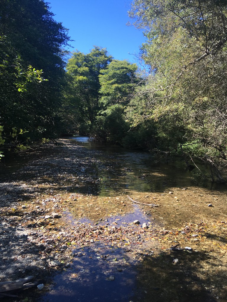 Headlands TrailHikingPhoto: sergei.gussev, CC BY 2.0 (via Flickr)4.4 mi
- Beach TrailHikingPhoto: sergei.gussev, CC BY 2.0 (via Flickr)4.5 mi
 Pfeiffer Big Sur State Park CampgroundCampingPhoto: Slipshod Photog — CC BY 2.0 (via Flickr)8.6 mi
Source: Roamze catalog (indexable pages within 10 miles, PostGIS distance)
Best time to visit Sierra Hill
Best months: Year-round. Best months have typical highs of 55–85 °F, lows of 30 °F or warmer (32 °F where the station doesn't record snow), at most one snowy day and no more than 12 wet days.
Jan
61° / 42°
11 wet
Feb
61° / 43°
11 wet
Mar
64° / 43°
10 wet
Apr
67° / 44°
6 wet
May
70° / 45°
4 wet
Jun
74° / 48°
1 wet
Jul
75° / 51°
0 wet
Aug
77° / 50°
0 wet
Sep
77° / 50°
1 wet
Oct
74° / 48°
3 wet
Nov
65° / 45°
7 wet
Dec
59° / 42°
10 wet
Typical high / low (°F) and days with rain or snow, 1991–2020. Measured at Big Sur Stn, CA, 8.8 mi away at 200 ft. The station sits about 1,300 ft lower than this place, so expect it a little cooler here. Source: NOAA NCEI U.S. Climate Normals 1991–2020.
