Pine Creek Camp
Campground
Campground · 5.9 mi from the trail
Vasquez Knob is a summit in California, rising to 2,138 feet about 2.8 miles from Carmel Valley Village. It sits among a cluster of hiking trails, with Cougar Ridge Trail just 0.6 miles away and Gabilan Trail at 0.9 miles, so it works well as a destination for a short outing or as a high point to pair with a longer walk. Spring and fall are the most comfortable times to go. Typical averages from a nearby weather station show May highs around 76°F and October highs around 76°F, while July and August average about 86°F. That station sits roughly 1,200 feet lower than the summit, so temperatures on top run cooler. The surrounding trails make it easy to build a day around the knob. East Ridge Trail and Redwood Canyon Trail are each about a mile away, and the Carmel River, a paddling option, is 1.8 miles off.
Pine Creek Camp
Campground
 If it rainsLordHarris at English Wikipedia, CC BY-SA 3.0 · Wikimedia Commons
Places © OpenStreetMap contributors, Places © Overture Maps Foundation · Photos: LordHarris at English Wikipedia, CC BY-SA 3.0 (commons)
More in GonzalesDaily highs and lows, wind and the chance of precipitation at the summit and route start for the next 7 days, from the Open-Meteo model.
Elevation from USGS 3D Elevation Program terrain data (about 10 m resolution).
2,138 ft (652 m).
One: Vasquez Trail.
 East Ridge TrailHikingPhoto: ilya_ktsn, CC BY 2.0 (via Flickr)1 miRedwood Canyon TrailHikingPhoto: ilya_ktsn, CC BY 2.0 (via Flickr)1 mi
 Saddle TrailHikingPhoto: DeeAshley, CC BY 2.0 (via Flickr)1.3 mi
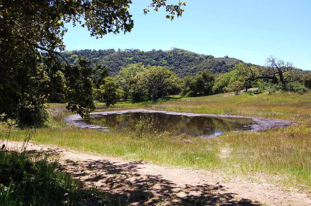 Terrace TrailHikingPhoto: ilya_ktsn, CC BY 2.0 (via Flickr)1.3 mi
 Carmel RiverCanoeingPhoto: David.c.stone, CC BY 3.0 (via Wikimedia Commons)1.8 mi
Source: Roamze catalog (indexable pages within 10 miles, PostGIS distance)
 Fremont PeakSummit · ~42 min drivePhoto: Thomson200, CC0 (via Wikimedia Commons)
 Junipero Serra PeakSummit · ~50 min drivePhoto: Thomson200, CC0 (via Wikimedia Commons)
 The FingersSummit · ~53 min drivePhoto: Clyde Charles Brown, CC BY-SA 4.0 (via Wikimedia Commons)
 Scout PeakSummit · ~54 min drivePhoto: Clyde Charles Brown, CC BY-SA 4.0 (via Wikimedia Commons)
 Hawkins PeakSummit · ~54 min drivePhoto: Clyde Charles Brown, CC BY-SA 4.0 (via Wikimedia Commons)
 North Chalone PeakSummit · ~54 min drivePhoto: Miguel Vieira, CC BY 2.0 (via Wikimedia Commons)South Chalone PeakSummit · ~55 min drivePhoto: Miguel Vieira, CC BY 2.0 (via Wikimedia Commons)
 Cone PeakSummit · ~55 min drivePhoto: Doug Letterman, CC BY 2.0 (via Wikimedia Commons)
 Mount MadonnaSummit · ~1h 5m drivePhoto: Wahn, CC BY-SA 4.0 (via Wikimedia Commons)
 Lions PeakSummit · ~1h 11m drivePhoto: Wahn, CC BY-SA 4.0 (via Wikimedia Commons)
Best months: September–June. Best months have typical highs of 55–85 °F, lows of 30 °F or warmer (32 °F where the station doesn't record snow), at most one snowy day and no more than 12 wet days.
Jan
59° / 34°
Feb
61° / 36°
Mar
64° / 37°
Apr
69° / 39°
May
76° / 43°
Jun
83° / 46°
Jul
86° / 49°
Aug
86° / 49°
Sep
83° / 47°
Oct
76° / 40°
Nov
66° / 36°
Dec
58° / 33°
Typical high / low (°F) and days with rain or snow, 1991–2020. Measured at Paicines 4 W, CA, 28.6 mi away at 905 ft. The station sits about 1,200 ft lower than this place, so expect it a little cooler here. This station doesn't record snowfall. Source: NOAA NCEI U.S. Climate Normals 1991–2020.
