Montery Pines RV Campground
Campground
Campground · 2.2 mi from the trail
Loma Alta is a summit in Jacks Peak Park in California, about 2.5 miles from Carmel-by-the-Sea. It sits within easy reach of town, which makes it a straightforward objective for a short outing in the park. The driest, warmest stretch comes in late summer and early fall. Typical averages from a nearby weather station in Monterey show September highs around 71°F with only about two wet days that month. That station sits well below the summit, so temperatures up top run cooler. Winter brings more frequent rain, with roughly 10 to 11 wet days a month from December through February, though snow isn't part of the picture. Several trails start close by. The Rhus Trail lies just 0.1 mile away and the Coffeeberry Trail about 0.2 mile off, while the Iris Trail and Pine Trail are each roughly 0.6 mile from the summit.
Montery Pines RV Campground
Campground
 If it rainsLordHarris at English Wikipedia, CC BY-SA 3.0 · Wikimedia Commons
Places © OpenStreetMap contributors, Places © Overture Maps Foundation · Photos: LordHarris at English Wikipedia, CC BY-SA 3.0 (commons)
More in GonzalesDaily highs and lows, wind and the chance of precipitation at the summit and route start for the next 7 days, from the Open-Meteo model.
Elevation from USGS 3D Elevation Program terrain data (about 10 m resolution).
1,072 ft (327 m).
One: Coffeeberry Trail.
Source: Roamze catalog (indexable pages within 10 miles, PostGIS distance)
 Fremont PeakSummit · ~42 min drivePhoto: Thomson200, CC0 (via Wikimedia Commons)
 Mount MadonnaSummit · ~56 min drivePhoto: Wahn, CC BY-SA 4.0 (via Wikimedia Commons)
 Lions PeakSummit · ~1h 3m drivePhoto: Wahn, CC BY-SA 4.0 (via Wikimedia Commons)
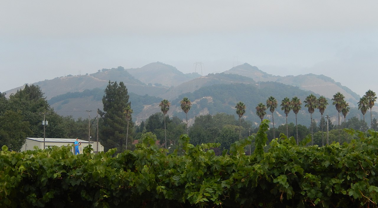 Twin PeaksSummit · ~1h 4m drivePhoto: Wahn, CC BY-SA 4.0 (via Wikimedia Commons)
 The FingersSummit · ~1h 5m drivePhoto: Clyde Charles Brown, CC BY-SA 4.0 (via Wikimedia Commons)
 Loma PrietaSummit · ~1h 5m drivePhoto: DrHonzik, CC0 (via Wikimedia Commons)
 Scout PeakSummit · ~1h 5m drivePhoto: Clyde Charles Brown, CC BY-SA 4.0 (via Wikimedia Commons)
 Hawkins PeakSummit · ~1h 5m drivePhoto: Clyde Charles Brown, CC BY-SA 4.0 (via Wikimedia Commons)
 Junipero Serra PeakSummit · ~1h 6m drivePhoto: Thomson200, CC0 (via Wikimedia Commons)
 North Chalone PeakSummit · ~1h 6m drivePhoto: Miguel Vieira, CC BY 2.0 (via Wikimedia Commons)
Best months: Year-round. Best months have typical highs of 55–85 °F, lows of 30 °F or warmer (32 °F where the station doesn't record snow), at most one snowy day and no more than 12 wet days.
Jan
60° / 45°
11 wet
Feb
61° / 45°
11 wet
Mar
63° / 46°
10 wet
Apr
63° / 47°
7 wet
May
64° / 49°
5 wet
Jun
66° / 51°
3 wet
Jul
67° / 53°
3 wet
Aug
69° / 54°
2 wet
Sep
71° / 53°
2 wet
Oct
71° / 52°
4 wet
Nov
64° / 48°
8 wet
Dec
59° / 44°
10 wet
Typical high / low (°F) and days with rain or snow, 1991–2020. Measured at Monterey, CA, 2.5 mi away at 260 ft. The station sits about 800 ft lower than this place, so expect it a little cooler here. Source: NOAA NCEI U.S. Climate Normals 1991–2020.

