Headlands Trail
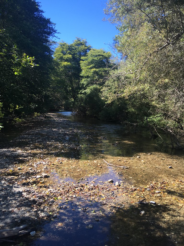 Photo: sergei.gussev, CC BY 2.0 (via Flickr)
- 0.5 mi
- round trip
- 152 ft
- climb
- 80 ft
- high point
- Out and back
- route
- Jan–Dec
- best months
Headlands Trail is a short, easy out-and-back hike in Andrew Molera State Park in California, managed by State Park and Recreation. The trail is about a mile long, with a total elevation gain of about 150 feet, and it starts and ends at roughly the same elevation, so it works well as a quick walk or a warm-up before exploring more of the park. The most comfortable time to go is summer into early fall. Typical averages from a nearby weather station show July and August highs around 75 to 77°F with almost no wet days, while winter brings highs near 61°F and about 10 to 11 wet days a month. The trail is close to several other routes. Beach Trail is about 0.4 miles away, River Trail is about a mile off, and Twin Cottonwoods Trail and Bobcat Trail are both within about 1.4 miles.
- Beach TrailHikingPhoto: sergei.gussev, CC BY 2.0 (via Flickr)0.4 mi
 River TrailHikingPhoto: S. Rae, CC BY 2.0 (via Flickr)1 mi
- Twin Cottonwoods TrailHiking1.3 mi
 Bobcat TrailHikingPhoto: Roebot, CC BY-SA 2.0 (via Flickr)1.4 mi
- Coyote Flat TrailHikingPhoto: Roebot, CC BY-SA 2.0 (via Flickr)1.5 mi
- Little SurHiking1.9 mi
- Little Sur RiverCanoeing3.7 mi
 Pfeiffer Big Sur State Park CampgroundCampingPhoto: Slipshod Photog — CC BY 2.0 (via Flickr)4.7 mi
Source: Roamze catalog (indexable pages within 10 miles, PostGIS distance)
- Beach TrailHiking · Next doorPhoto: sergei.gussev, CC BY 2.0 (via Flickr)
 Jackson Camp Access TrailHiking · ~7 min drivePhoto: DeeAshley, CC BY 2.0 (via Flickr)
 Skinner RidgeHiking · ~11 min drivePhoto: ilya_ktsn, CC BY 2.0 (via Flickr)
- Manuel Peak TrailHiking · ~6 min drive
- River TrailHiking · ~2 min drivePhoto: S. Rae, CC BY 2.0 (via Flickr)
 Mt. ManuelHiking · ~9 min drivePhoto: Roger Sylvia, CC BY-SA 3.0 (via Wikimedia Commons)
 Ventana Double ConeHiking · ~14 min drivePhoto: ilya_ktsn, CC BY 2.0 (via Flickr)
- Bobcat TrailHiking · ~2 min drivePhoto: Roebot, CC BY-SA 2.0 (via Flickr)
 San ClementeHiking · ~12 min drivePhoto: ilya_ktsn, CC BY 2.0 (via Flickr)
- Little SurHiking · ~3 min drive
Also worth it near here
Best time to visit Headlands Trail
Best months: Year-round. Best months have typical highs of 55–85 °F, lows of 30 °F or warmer (32 °F where the station doesn't record snow), at most one snowy day and no more than 12 wet days.
Jan
61° / 42°
11 wet
Feb
61° / 43°
11 wet
Mar
64° / 43°
10 wet
Apr
67° / 44°
6 wet
May
70° / 45°
4 wet
Jun
74° / 48°
1 wet
Jul
75° / 51°
0 wet
Aug
77° / 50°
0 wet
Sep
77° / 50°
1 wet
Oct
74° / 48°
3 wet
Nov
65° / 45°
7 wet
Dec
59° / 42°
10 wet
Typical high / low (°F) and days with rain or snow, 1991–2020. Measured at Big Sur Stn, CA, 4.8 mi away at 200 ft. Source: NOAA NCEI U.S. Climate Normals 1991–2020.

Map and trail data © OpenStreetMap contributors
