Brazil Ranch Trail
- 2.8 mi
- round trip
- 1,500 ft
- climb
- 1,536 ft
- high point
- Out and back
- route
- Jan–Dec
- best months
Is Brazil Ranch Trail open right now?
Closure in the area
There's a closure order in Monterey Ranger District. It doesn't name Brazil Ranch Trail, so check the source for the area it covers (2 listed).
Monterey Ranger District Timber Fire and Plaskett Fire Emergency Closure
Agency closure covering Monterey Ranger District · Order 05-07-51-26-12 · USFS · Monterey Ranger District
Monterey Ranger District Emergency Closure Order with Exceptions
Agency closure covering Monterey Ranger District · Order 05-07-51-26-11 · USFS · Monterey Ranger District
San Carpoforo Beach Prohibition of Overnight Camping and Campfires
Agency alert covering Monterey Ranger District · Order 05-07-51-26-03 · USFS · Monterey Ranger District
As of · Source: USFS · Monterey Ranger District. Agencies don't list every closure — check before you go.
Brazil Ranch Trail is a moderate out-and-back hike in California's Los Padres National Forest, on the Monterey Ranger District. The trail is about 2.77 miles long, and the one-way climb totals about 1,126 feet, with the high point at roughly 1,536 feet. The route starts at about 599 feet and rises quickly, with the steepest stretch near the beginning, where the grade reaches about 26%. That front-loaded climb gives the hike its moderate rating. The total round trip includes about 1,500 feet of elevation gain and loss, and the trip takes about 2.5 hours. Summer and early fall are the warmest and driest stretch. Typical averages from a nearby weather station in Carmel Valley run from highs near 76°F in June to about 81°F in September, with almost no wet days. That station sits well below the trail, so temperatures up high run cooler. Skinner Ridge Trail lies about 4.9 miles away, and the Little Sur River offers canoeing about 5.2 miles off. Little Sur Camp and the Little Sur hike are each a little over 5 miles from the trail.
Conditions and forecast on Sierra Hill
Daily highs and lows, wind and the chance of precipitation at the summit and route start for the next 7 days, from the Open-Meteo model.
- Skinner Ridge TrailHiking4.9 mi
- Little Sur RiverCanoeing5.2 mi
 Little Sur CampHikingPhoto: DeeAshley, CC BY 2.0 (via Flickr)5.3 mi
- Little SurHiking5.4 mi
 Skinner RidgeHikingPhoto: ilya_ktsn, CC BY 2.0 (via Flickr)5.8 mi
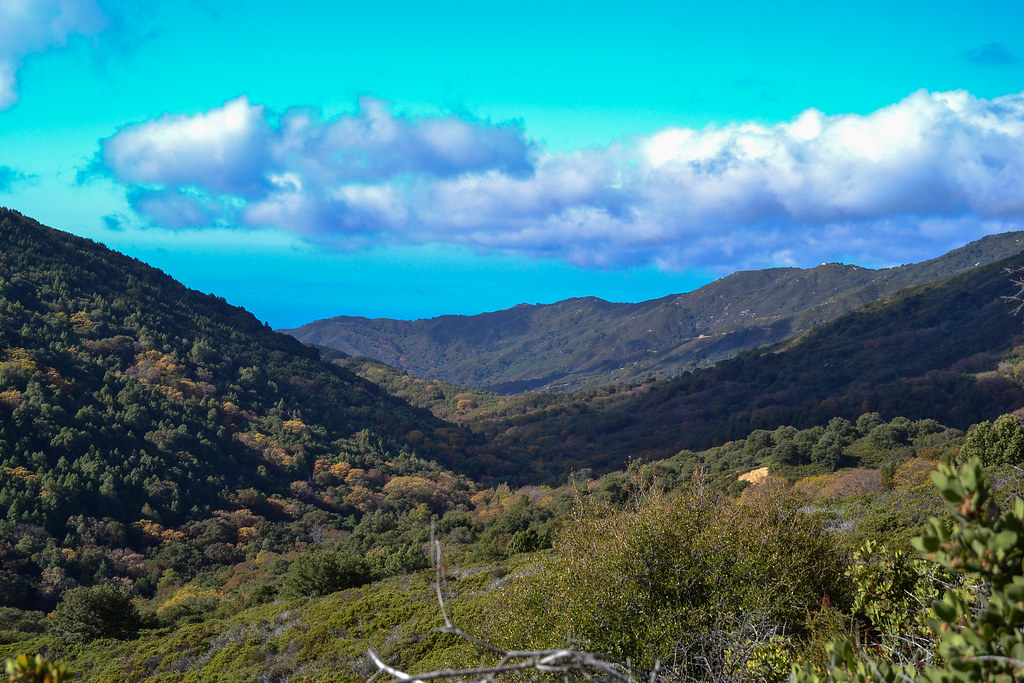 Turner CreekHikingPhoto: ilya_ktsn, CC BY 2.0 (via Flickr)5.8 mi
- Nature TrailHikingPhoto: DeeAshley, CC BY 2.0 (via Flickr)6.1 mi
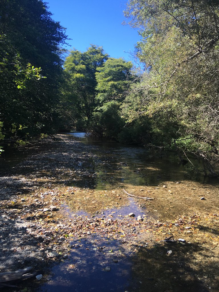 Headlands TrailHikingPhoto: sergei.gussev, CC BY 2.0 (via Flickr)6.2 mi
Source: Roamze catalog (indexable pages within 10 miles, PostGIS distance)
- Little Sur CampHiking · ~9 min drivePhoto: DeeAshley, CC BY 2.0 (via Flickr)
 Jackson Camp Access TrailHiking · ~11 min drivePhoto: DeeAshley, CC BY 2.0 (via Flickr)
 Ventana Double ConeHiking · ~14 min drivePhoto: ilya_ktsn, CC BY 2.0 (via Flickr)
- Manuel Peak TrailHiking · ~12 min drive
- Nature TrailHiking · ~10 min drivePhoto: DeeAshley, CC BY 2.0 (via Flickr)
 Peak TrailHiking · ~12 min drivePhoto: Alexander Hatley, CC BY 2.0 (via Flickr)
- Skinner RidgeHiking · ~10 min drivePhoto: ilya_ktsn, CC BY 2.0 (via Flickr)
- Headlands TrailHiking · ~11 min drivePhoto: sergei.gussev, CC BY 2.0 (via Flickr)
 Mt. ManuelHiking · ~18 min drivePhoto: Roger Sylvia, CC BY-SA 3.0 (via Wikimedia Commons)
- Little SurHiking · ~9 min drive
Best time to visit Brazil Ranch Trail
Best months: Year-round. Best months have typical highs of 55–85 °F, lows of 30 °F or warmer (32 °F where the station doesn't record snow), at most one snowy day and no more than 12 wet days.
Jan
63° / 40°
11 wet
Feb
64° / 41°
10 wet
Mar
67° / 41°
10 wet
Apr
69° / 43°
7 wet
May
71° / 46°
4 wet
Jun
76° / 48°
1 wet
Jul
78° / 51°
0 wet
Aug
80° / 51°
0 wet
Sep
81° / 51°
1 wet
Oct
78° / 48°
3 wet
Nov
69° / 42°
7 wet
Dec
63° / 40°
11 wet
Typical high / low (°F) and days with rain or snow, 1991–2020. Measured at Carmel Valley, CA, 12.4 mi away at 480 ft. The station sits about 1,100 ft lower than this place, so expect it a little cooler here. This station doesn't record snowfall. Source: NOAA NCEI U.S. Climate Normals 1991–2020.


Route details
- Distance
- 2.8 mi round trip
- Climbing
- About 1,500 ft
- Summit
- 1,544 ft
- Difficulty
- Moderate
- Time
- About 1.5 hours
Questions about this route
How long is the Brazil Ranch Trail on Sierra Hill?
About 2.8 mi round trip.
How much elevation gain is on the Brazil Ranch Trail?
About 1,500 ft of climbing round trip.
How hard is the Brazil Ranch Trail?
It is rated moderate.
How long does the Brazil Ranch Trail take?
About 1.5 hours round trip.
Map and trail data © OpenStreetMap contributors
