Loading…

Free — you'll pick up right here.
Watch this trail
Sign up to watch it — saving subscribes you to gate, closure and report changes.
California
10.8 mi
Distance
2,976 ft
Gain
We won't guess. Here is exactly what we do and don't know.
What we do know
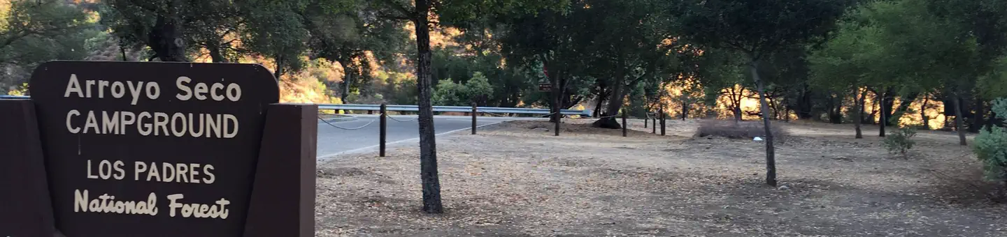
Inside Los Padres National Forest
2 managing-area boundaries mapped — agency alerts for them feed this page automatically.
Boundary data
What's missing
No access route mapped
We don't yet know which road reaches this trailhead, so we can't tell you if it's gated.
Nobody's filed a report here yet — be the first.
Why you'll love it
Little Sur
AI-suggested draft · review before you go
No permit or access details on file for this trail — check with the local land manager before you go.
Little Sur is a challenging coastal trail that climbs steeply through redwood and oak forests before reaching dramatic ocean vistas. This nearly 11-mile route gains nearly 3,000 feet of elevation, rewarding hikers with sweeping views of the Big Sur coastline and the rugged Little Sur River canyon. The trail combines inland forest hiking with spectacular coastal scenery, making it a premier destination for experienced hikers seeking solitude and natural beauty.
Little Sur Camp
~4 min drive
Easy coastal walk to a scenic Big Sur campground with minimal elevation gain.
Skinner Ridge
~8 min drive
Moderate ridge hike with 2,076 ft gain and panoramic views.
Turner Creek
~8 min drive
Easy creek-side hike with gentle elevation gain and riparian scenery.
Ventana Camp
~11 min drive
Short, steady climb to a scenic backcountry camp in Ventana Wilderness.
Ventana Double Cone
~11 min drive
Strenuous backcountry trek to remote twin peaks with coastal views.
San Clemente
~9 min drive
Easy coastal hike with ocean views near San Clemente.
Terrace Creek
~13 min drive
Easy 2.77-mile creek walk with minimal elevation gain.
Pine Ridge
~11 min drive
Strenuous 17.5-mile backcountry trek with 3,628 ft elevation gain.
Mt. Manuel
~9 min drive
Steep 3.79-mile climb with 2,453 ft gain; challenging coastal range ascent.
Round Rock Camp
~14 min drive
Easy 1-mile walk to Round Rock Camp with minimal elevation gain.