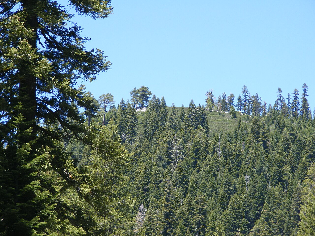
Crystal Peak
 Photo: igloo22225, CC BY-SA 4.0 (via Wikimedia Commons)
- 8,088 ft
- summit
- Forest Service
- managed by
Is Crystal Peak open right now?
Alert in the area
The Forest Service lists an alert for Tahoe National Forest.
Camping and Campfire Restrictions-Truckee and Sierraville Districts
Agency alert covering Tahoe National Forest · Order 17-25-05 · USFS · Tahoe National Forest
As of · Source: USFS · Tahoe National Forest. Agencies don't list every closure — check before you go.
Crystal Peak is a summit of about 8,088 feet in Sierra County, California, within the Sierraville Ranger District of Tahoe National Forest. The Forest Service manages the land, and the nearest town is Verdi, about 4 miles away. The Crystal Peak Nature hike starts about 2.3 miles away, and Lookout Campground is a similar distance. Badenaugh Canyon is about 4 miles off, and the Verdi Boulders climbing area is just under 5 miles away.
Conditions and forecast
Daily highs and lows, wind and the chance of precipitation at the summit for the next 7 days, from the Open-Meteo model.
- Summit elevation
- 8,088 ft
- Land manager
- Forest Service
Elevation from USGS 3D Elevation Program terrain data (about 10 m resolution).
We don't know of a mapped trail or route to the summit of Crystal Peak. Plan the approach with local maps, a guidebook or a local guide, and check conditions before you go.
Questions about Crystal Peak
How tall is Crystal Peak?
8,088 ft (2,465 m).
Is there a trail to the top of Crystal Peak?
We don't know of a mapped trail or route to the summit. Plan the approach with local maps, a guidebook or a local guide.
- Babbitt Peak8,757 ft · California1 route3.2 mi away
- Mount Lola9,144 ft · California1 route17 mi away
 Mount Rose10,773 ft · Nevada1 route17 mi awayPhoto: Mr. Richard from Fair Oaks, USA, CC BY 2.0 (via Wikimedia Commons)
- Mount Houghton10,484 ft · Nevada1 route17 mi away
 Relay Peak10,323 ft · Nevada2 routes18 mi awayPhoto: Mitch Barrie, CC BY-SA 2.0 (via Wikimedia Commons)
- Martis Peak8,740 ft · California1 route19 mi away
 Lookout CampgroundCampingPhoto: Recreation.gov (RIDB) / public domain2.3 mi
- Crystal Peak NatureHiking2.3 mi
- Badenaugh CanyonHiking4.1 mi
- Verdi BouldersRock climbing4.9 mi
 Emigrant GroupCampingPhoto: Recreation.gov (RIDB) / public domain6.2 mi
- Stampede Reservoir - Water RecreationLake fishing6.2 mi
- Smithneck CreekCanoeing6.3 mi
- Main WallRock climbing8.3 mi
Source: Roamze catalog (indexable pages within 10 miles, PostGIS distance)
 Peavine PeakSummit · ~15 min drivePhoto: Ken Lund from Reno, Nevada, USA, CC BY-SA 2.0 (via Wikimedia Commons)
- Relay PeakSummit · ~31 min drivePhoto: Mitch Barrie, CC BY-SA 2.0 (via Wikimedia Commons)
 Castle PeakSummit · ~33 min drivePhoto: MiguelVieira, CC BY 2.0 (via Wikimedia Commons)
 Rose Knob PeakSummit · ~33 min drivePhoto: Ken Lund, CC BY-SA 2.5 (via Wikimedia Commons)
 Slide MountainSummit · ~35 min drivePhoto: Rick Cooper, CC BY 2.0 (via Wikimedia Commons)
 Donner PeakSummit · ~36 min drivePhoto: Ken Lund, CC BY-SA 2.0 (via Wikimedia Commons)
 Anderson PeakSummit · ~40 min drivePhoto: Tim Berger, CC BY 2.0 (via Wikimedia Commons)
 Schroeder MountainSummit · ~41 min drivePhoto: Pmschroeder, CC BY-SA 3.0 (via Wikimedia Commons)
 Tinker KnobSummit · ~41 min drivePhoto: Tim Berger, CC BY 2.0 (via Wikimedia Commons)
 Granite ChiefSummit · ~46 min drivePhoto: Tim Berger from Fair Oaks, CA, CC BY 2.0 (via Wikimedia Commons)
Also worth it near here

