Green Mountain
- 5,300 ft
- summit
- 1
- way up
Is Green Mountain open right now?
No closures listed
The Forest Service lists no closures for Six Rivers National Forest.
As of · Source: USFS · Six Rivers National Forest. Agencies don't list every closure — check before you go.
Green Mountain is a summit in the Mad River Ranger District of Six Rivers National Forest in California, about 7.6 miles from the town of Mad River. It sits in a cluster of hiking, paddling and camping destinations in this corner of the forest. The closest neighbors are the West Fork Van Duzen River, a canoeing run 1.7 miles away, and the hikes to Mt. Lassic and Devils Backbone, both about 2.8 miles off. Fir Cove Campground, roughly 5 miles away, offers a nearby place to stay.
Conditions and forecast
Daily highs and lows, wind and the chance of precipitation at the summit and route start for the next 7 days, from the Open-Meteo model.
- Summit elevation
- 5,300 ft
Elevation from USGS 3D Elevation Program terrain data (about 10 m resolution).
Map © Mapbox © OpenStreetMap contributors Questions about Green Mountain
How tall is Green Mountain?
5,300 ft (1,615 m).
How many routes go to the summit of Green Mountain?
One: GREEN MOUNTAIN.
- Signal Peak5,868 ft · California1 route3.3 mi away
- Chinquapin Butte5,869 ft · California1 route13 mi away
- North Kelsey Peak5,175 ft · California1 route19 mi away
- Blake Mountain5,889 ft · California2 routes20 mi away
- Horsehead Mountain5,867 ft · California1 route23 mi away
- Little Butte5,630 ft · California1 route25 mi away
- West Fork Van Duzen RiverCanoeing1.7 mi
- Mt. LassicHiking2.8 mi
- Devils BackboneHiking2.8 mi
 Mad RiverCanoeingPhoto: humboldthead, CC BY 2.0 (via Wikimedia Commons)4.6 mi
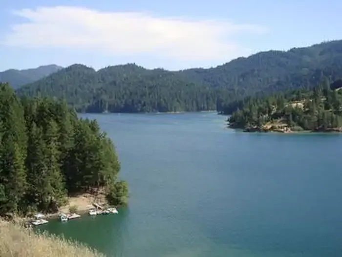 Fir Cove CampgroundCampingPhoto: Recreation.gov (RIDB) / public domain5 mi
- Bailey Canyon CampgroundCamping5.1 mi
- The Bowling BallRock climbing9.9 mi
- Main TowerRock climbing10 mi
Source: Roamze catalog (indexable pages within 10 miles, PostGIS distance)
 Hayfork BallySummit · ~47 min drivePhoto: Region 5 Photography, CC BY 2.0 (via Wikimedia Commons)
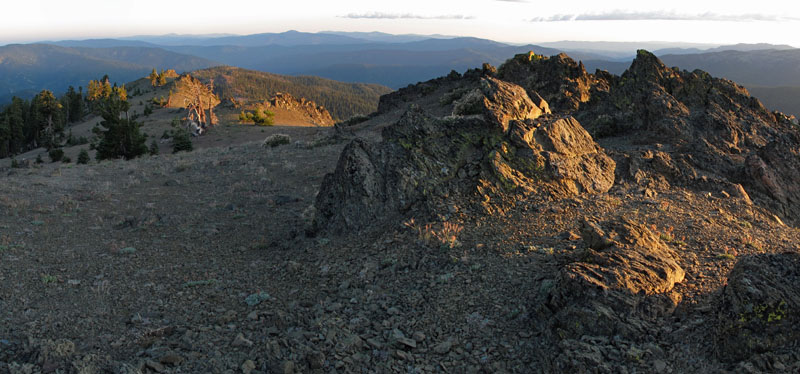 Mount LinnSummit · ~1h 7m drivePhoto: Mkauffmann, CC BY 3.0 (via Wikimedia Commons)
 Anthony PeakSummit · ~1h 14m drivePhoto: USFS Region 5, CC BY 2.0 (via Wikimedia Commons)
- Signal PeakSummit · ~6 min drive
- Chinquapin ButteSummit · ~22 min drive
- North Kelsey PeakSummit · ~32 min drive
- Blake MountainSummit · ~35 min drive
- Red MountainSummit · ~36 min drive
- Horsehead MountainSummit · ~40 min drive
- Blue SlideSummit · ~42 min drive
