California · Canoeing · Mad River
Mad River
 Photo: humboldthead, CC BY 2.0 (via Wikimedia Commons)
- 34.4 mi
- distance
- 4,538 ft
- high point
Is Mad River open right now?
No closures listed
The Forest Service lists no closures for Six Rivers National Forest.
As of · Source: USFS · Six Rivers National Forest. Agencies don't list every closure — check before you go.
Mad River is a 34-mile paddling stretch near Mad River, California. It is intermittent and may run dry in some seasons. USGS models an average flow of about 1,140 cfs and a gradient of about 78.4 feet per mile.
Local outfitters
- Six Rivers Rafting43 mi away
Not on Roamze yet. Their page has how to reach them.
- LakesideHiking0.4 mi
- Bailey Canyon CampgroundCamping0.4 mi
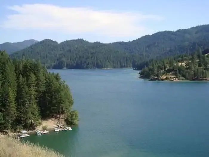 Fir Cove CampgroundCampingPhoto: Recreation.gov (RIDB) / public domain0.5 mi
- Lake Vista TrailHiking0.6 mi
- West Fork Van Duzen RiverCanoeing5.3 mi
- Mystery TowerRock climbing5.7 mi
- Poison GardenRock climbing5.7 mi
- West Fork North Fork Eel RiverCanoeing7.7 mi
Source: Roamze catalog (indexable pages within 10 miles, PostGIS distance)
 Hayfork CreekCanoeing · ~30 min drivePhoto: U.S. Forest Service, Public domain (via Wikimedia Commons)
- West Fork Van Duzen RiverCanoeing · ~9 min drive
- West Fork North Fork Eel RiverCanoeing · ~13 min drive
- South Fork Trinity RiverCanoeing · ~15 min drive
- Rattlesnake CreekCanoeing · ~16 min drive
- Plummer CreekCanoeing · ~17 min drive
- Mud CreekCanoeing · ~18 min drive
- Post CreekCanoeing · ~18 min drive
- North Dobbyn CreekCanoeing · ~18 min drive
- Smoky CreekCanoeing · ~19 min drive
