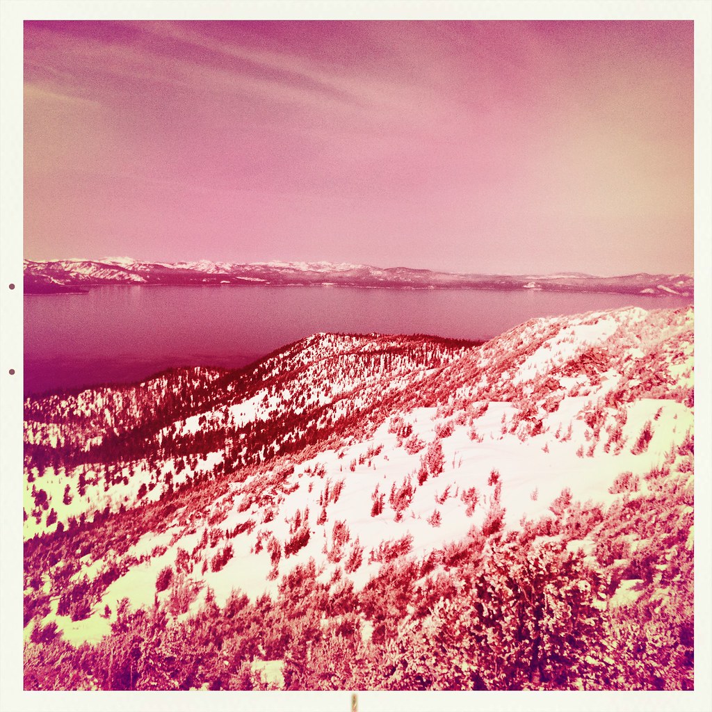
Hope Valley
Campground
Campground · 2.6 mi from the trail
Closure in the area
There's a closure order in Lake Tahoe Basin Management Unit. It doesn't name Star Lake Trail, so check the source for the area it covers.
Harmful Algal Blooms
Agency closure covering Lake Tahoe Basin Management Unit · USFS · Lake Tahoe Basin Management Unit
Desolation Wilderness Food and Refuse Storage (Bear Canister) Restriction
Agency alert covering Lake Tahoe Basin Management Unit · Order 19-25-06 · USFS · Lake Tahoe Basin Management Unit
Meyers Landfill Area Closure
Agency alert covering Lake Tahoe Basin Management Unit · Order 19-25-01 · USFS · Lake Tahoe Basin Management Unit
Campfire Restrictions
Agency alert covering Lake Tahoe Basin Management Unit · Order 19-24-04 · USFS · Lake Tahoe Basin Management Unit
Camping/Overnight Stay Restriction
Agency alert covering Lake Tahoe Basin Management Unit · Order 19-24-05 · USFS · Lake Tahoe Basin Management Unit
As of · Source: USFS · Lake Tahoe Basin Management Unit. Agencies don't list every closure — check before you go.
Star Lake Trail is a mountain biking route in California's Lake Tahoe Basin Management Unit, managed by the Forest Service. The trail is 8.2 miles long and makes an out-and-back climb from a low point of 7,847 feet to a high point of 9,115 feet. The total gain is 2,962 feet, with the steepest stretch at about 0.2 miles in, where the grade reaches 18 percent. The trail's elevation profile starts with a steep climb. Riders reach the high point and then return the same way, so the total gain and loss are both about 2,962 feet. The route pairs well with other outings in the surrounding area. Nearby, Freel Peak Trail lies about 1.4 miles away, and Freel Peak to Jobs Sister and Jobs Peak Trail is about 2 miles off. Hope Valley campground is about 2.6 miles away for an overnight stay. Paddlers can head to Trout Creek, about 4 miles from the trail.
Hope Valley
Campground
Sky Deck
Pub
Marcus Ashley Galllery
Gallery
Places © OpenStreetMap contributors
More in Sunnyside-Tahoe CityNot on Roamze yet. Their page has how to reach them.
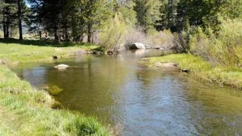 Hope ValleyCampingPhoto: Recreation.gov (RIDB) / public domain2.6 mi
 West Fork Carson RiverCanoeingPhoto: Skooiman at English Wikipedia, Public domain (via Wikimedia Commons)5.1 mi
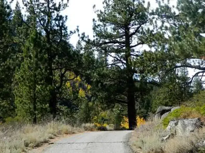 Kit Carson CampgroundCampingPhoto: Recreation.gov (RIDB) / public domain6.9 mi
Source: Roamze catalog (indexable pages within 10 miles, PostGIS distance)
Map and trail data © OpenStreetMap contributors