Saddle Peak Hills Trail
- 0.7 mi
- round trip
- 1,111 ft
- climb
- 2,496 ft
- high point
- Out and back
- route
- Feb–May, Oct–Nov
- best months
Is Saddle Peak Hills Trail open right now?
No closures listed
The National Park Service lists no closures for Death Valley National Park.
As of · Source: NPS · Death Valley National Park. Agencies don't list every closure — check before you go.
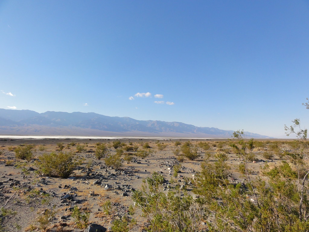
Saddle Peak Hills Trail is a 1.4-mile out-and-back hike in California's Death Valley National Park, within the Death Valley Wilderness. The National Park Service manages the land, and the trail starts at about 1,891 feet, rising to a high point of 2,496 feet with a total elevation gain of 1,111 feet over the course of the round trip. The climb is moderate, with a rolling profile that peaks in steepness at about 0.23 miles from the start, where the grade reaches 38 percent. The trail is short enough to fit into a single day, and the estimated time is about an hour. Spring and fall are the most comfortable times to go. Typical averages from a nearby weather station show April highs around 76°F and October highs around 81°F, while July averages climb to about 101°F. Nearby, Saddle Peak Hills is about 1.2 miles away. The Amargosa Trail, Salt Creek Hills Interpretive Walking Trail and Amargosa River Trail all lie within about 9 miles.
- Saddle Peak HillsHiking1.2 mi
 Amargosa TrailHikingPhoto: Šarūnas Burdulis from USA, CC BY-SA 2.0 (via Wikimedia Commons)8.1 mi
- Salt Creek Hills Interpretive Walking TrailHiking8.9 mi
- Amargosa River TrailHikingPhoto: Šarūnas Burdulis from USA, CC BY-SA 2.0 (via Wikimedia Commons)9 mi
- Grimshaw Lake Watchable Wildlife TrailHiking9.6 mi
Source: Roamze catalog (indexable pages within 10 miles, PostGIS distance)
- Amargosa TrailHiking · ~14 min drivePhoto: Šarūnas Burdulis from USA, CC BY-SA 2.0 (via Wikimedia Commons)
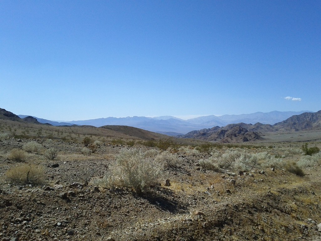 Virgin Springs CanyonHiking · ~31 min drivePhoto: Michael Voelker, CC BY 2.0 (via Flickr)
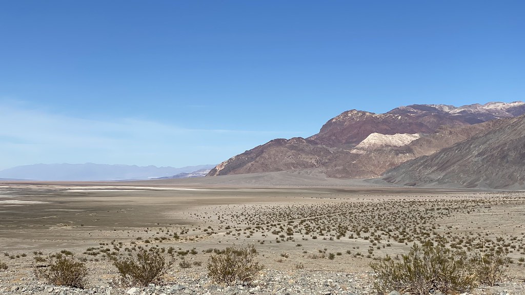 Sidewinder CanyonHiking · ~54 min drivePhoto: lamblukas, CC BY 2.0 (via Flickr)
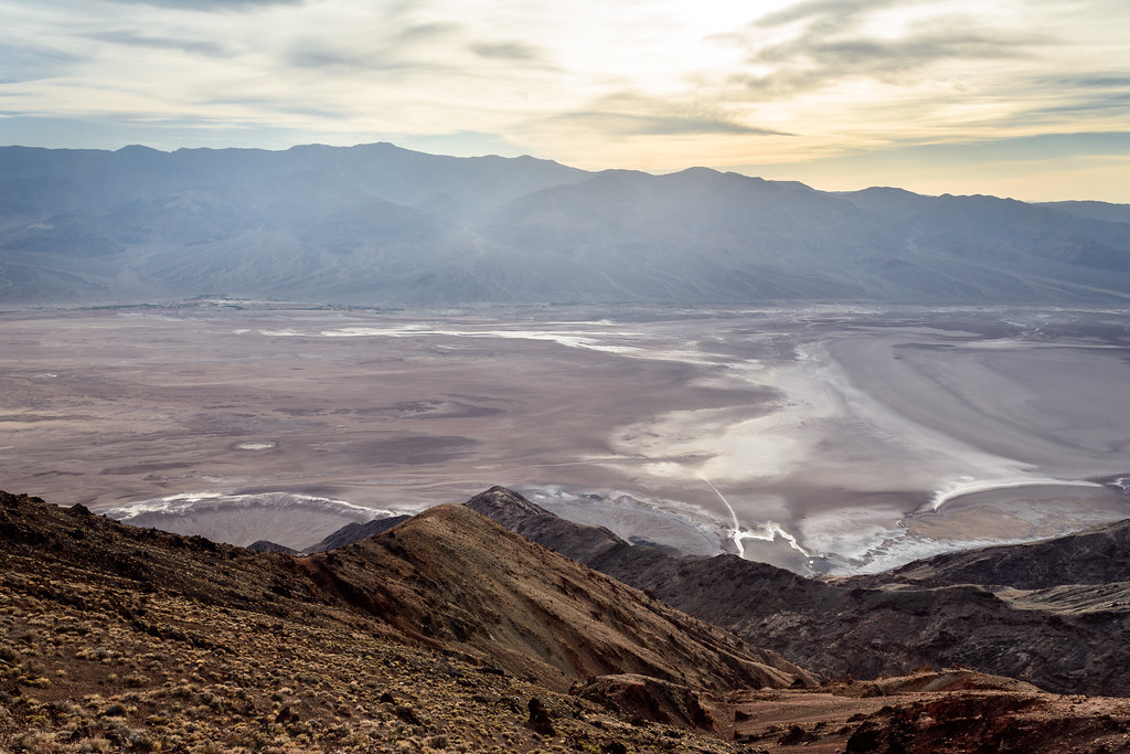 Dantes PeakHiking · ~1h 7m drivePhoto: dconvertini, CC BY-SA 2.0 (via Flickr)
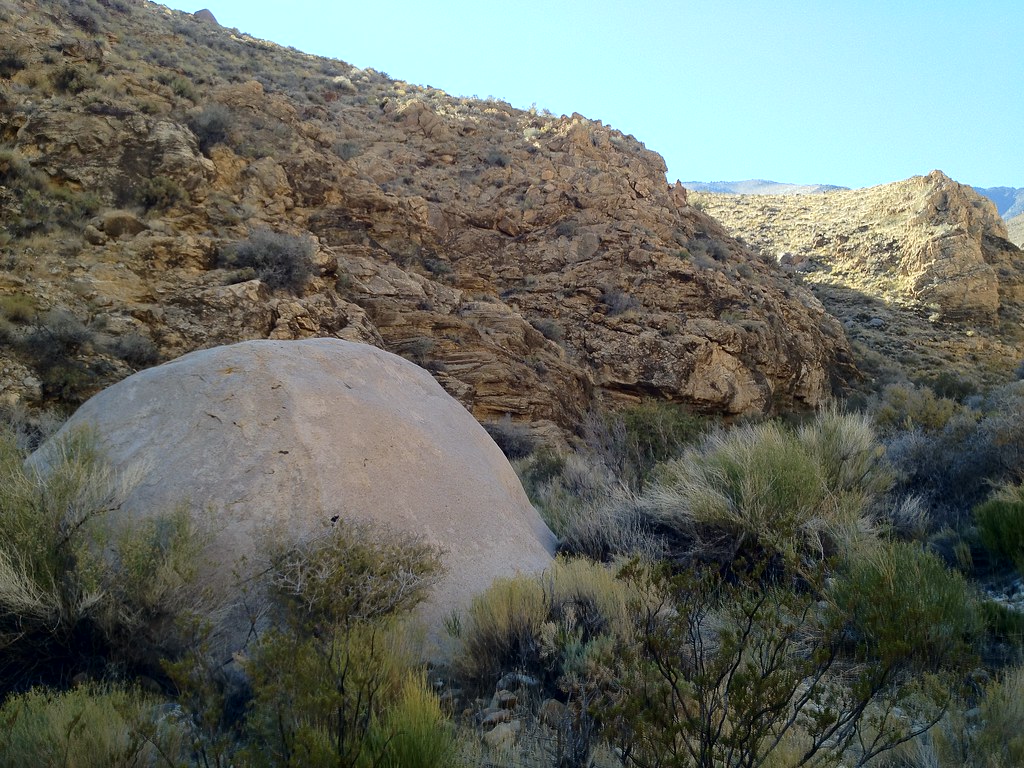 Hungry Bill's RanchHiking · ~1h 16m drivePhoto: stevelyon, CC BY-SA 2.0 (via Flickr)
- Amargosa River TrailHiking · ~15 min drivePhoto: Šarūnas Burdulis from USA, CC BY-SA 2.0 (via Wikimedia Commons)
- Scotty's CanyonHiking · ~40 min drive
 Willow CanyonHiking · ~54 min drivePhoto: inazakira, CC BY-SA 2.0 (via Flickr)
- The Lava TubeHiking · ~1h 25m drive
- Sheep CanyonHiking · ~47 min drive
Best time to visit Saddle Peak Hills Trail
Best months: February–May and October–November. Best months have typical highs of 55–85 °F, lows of 30 °F or warmer (32 °F where the station doesn't record snow), at most one snowy day and no more than 12 wet days.
Jan
58° / 28°
4 wet
Feb
62° / 32°
4 wet
Mar
69° / 38°
3 wet
Apr
76° / 44°
2 wet
May
85° / 53°
1 wet
Jun
95° / 61°
1 wet
Jul
101° / 68°
2 wet
Aug
100° / 66°
2 wet
Sep
93° / 57°
1 wet
Oct
81° / 45°
1 wet
Nov
67° / 34°
2 wet
Dec
57° / 27°
3 wet
Typical high / low (°F) and days with rain or snow, 1991–2020. Measured at Pahrump 4 Nw, NV, 38.9 mi away at 2,573 ft. This station doesn't record snowfall. Source: NOAA NCEI U.S. Climate Normals 1991–2020.

Map and trail data © OpenStreetMap contributors
