Free — you'll pick up right here.
Watch this trail
Sign up to watch it — saving subscribes you to gate, closure and report changes.
California
Morning
0.5 mi
Distance
672 ft
Gain
No verdict for this trail
We won't guess. Here is exactly what we do and don't know.
What we do know
Inside Mojave National Preserve
2 managing-area boundaries mapped — agency alerts for them feed this page automatically.
Boundary data
What's missing
No access route mapped
We don't yet know which road reaches this trailhead, so we can't tell you if it's gated.
Nobody's filed a report here yet — be the first.
Why you'll love it
Here's your day, mapped
Morning
AI-suggested draft · review before you go
Meals
Gear for the day
Elevation & route
- Distance
- 0.5 mi
- Elevation gain
- 672 ft
- Highest point
- 6,330 ft
- Lowest point
- 5,615 ft
Photos
Directions & GPX
Permits & access
- Managing agency
- National Park Service
About this trail
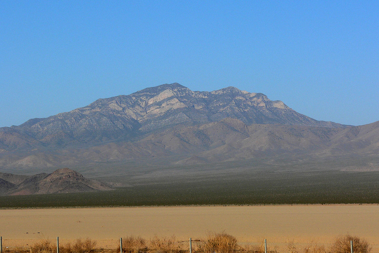
Morning is a short out-and-back trail in California managed by the National Park Service. The trail gains 672 feet of elevation over 0.53 miles and reaches a maximum elevation of 6,330 feet.
Add to a trip & share
Keep exploring — more trails worth the drive
The Lava Tube
~41 min drive
The Lava Tube was formed by hot, molten lava oozing across the desert floor 27,000 years ago. Now, visitors can go inside the lava tube to enjoy a unique underground haven with cooler summer temperatures and fantastic photography opportunities. Access Information: Two-wheel…
Rings Loop
~60 min drive
Discover how Hole-in-the-Wall got its name as you ascend narrow Banshee Canyon with the help of metal rings mounted in the rock. The 1.5-mile round-trip hike connects to the Mid Hills to Hole-in-the-Wall Trail.
Blue Diamond To Jean
~48 min drive
21.29-mile out-and-back trail in Nevada with 669 ft elevation gain.
Mid Hills to Hole-in-the-Wall Trail
~50 min drive
5.33-mile out-and-back hike in California's National Park Service area.
Rock Spring
~50 min drive
The Rock Spring area is beautiful, lush part of the Preserve. Though water flows infrequently, you may still find it in the spring. The Rock Spring Loop is an easy, one-mile intrepretive trail, featuring descriptions of the mining and military history of the area. This…
Petroglyph Trail
~1h 2m drive
4.35-mile out-and-back trail in Nevada with 377 ft elevation gain.
Descent Black Velvet Peak
~1h drive
1.23-mile out-and-back descent from Black Velvet Peak in Nevada
Hidden Valley Trail
~57 min drive
5.02-mile out-and-back hike in Nevada with 450 ft gain.
Teutonia Peak Trail
~25 min drive
1.56-mile out-and-back to Teutonia Peak in California with 645 ft gain.
WILDERNESS TRAIL
~58 min drive
8.46-mile out-and-back trail in Nevada with 699 ft elevation gain.