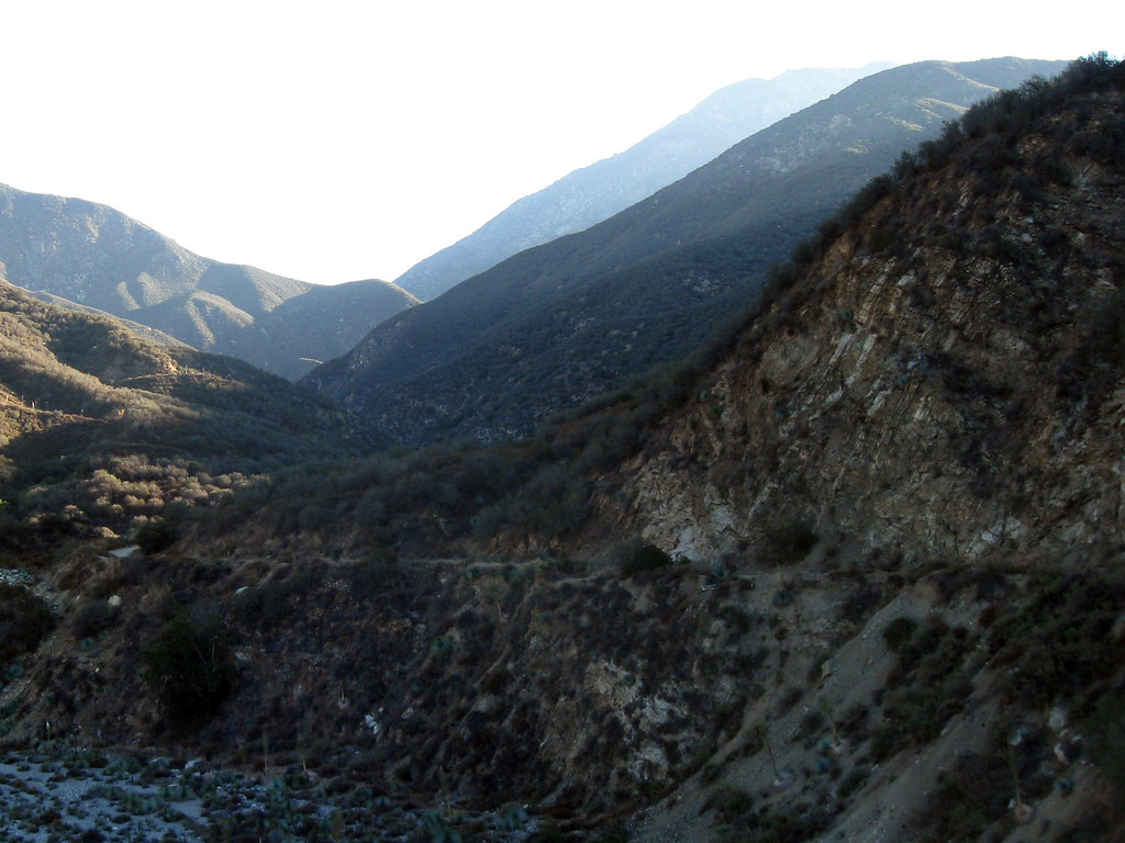
San Gabriel River
 Photo: Emarateyya, Muna Al Zaabi, CC BY-SA 3.0 (via Wikimedia Commons)
- 24.7 mi
- distance
- 4,430 ft
- high point
- Jan–Dec
- best months
Caution today
Agency alerts are in effect for this area; weather is good · USFS, usgs_nwis, OpenWeather · checked just now
Is San Gabriel River open right now?
Alert in the area
The Forest Service lists 7 alerts for Angeles National Forest.
Rincon-Redbox Road (2N24) Closure
Agency alert covering Angeles National Forest · Order 05-01-26-13 · USFS · Angeles National Forest
Fire Danger Level Elevated to "Very High"
Agency alert covering Angeles National Forest · USFS · Angeles National Forest
San Gabriel Canyon OHV Area Prohibitions
Agency alert covering Angeles National Forest · Order 05-01-26-09 · USFS · Angeles National Forest
San Dimas Experimental Forest Closure
Agency alert covering Angeles National Forest · USFS · Angeles National Forest
Eaton Fire Area Closure
Agency alert covering Angeles National Forest · Order 05-01-26-04 · USFS · Angeles National Forest
As of · Source: USFS · Angeles National Forest. Agencies don't list every closure — check before you go.
The San Gabriel River is a canoeing route in California's Angeles National Forest, within the San Gabriel Mountains National Monument Ranger District. The Forest Service manages the land, and the river runs about 24.66 miles long. Spring and fall are the most comfortable times to paddle. Typical averages from a nearby weather station at Mt Wilson show May highs around 70°F and October highs around 72°F, with only a few wet days in each. That station sits about 1,280 feet lower than the river, so temperatures on the water run cooler. Graveyard Canyon Trail and Upper Monroe Truck Trail are both within about a mile and a half. Coldbrook Campground is about 4.7 miles away, and the West Fork San Gabriel River, another paddling route, is about 8.5 miles off.
Local outfitters
- Paddle House42 mi away
Not on Roamze yet. Their page has how to reach them.
- Graveyard Canyon TrailHiking1.3 mi
- Upper Monroe Truck TrailHiking1.4 mi
- Lower Monroe Truck TrailHiking2.2 mi
- Coldbrook CampgroundCamping4.7 mi
- Crystal Lake BouldersRock climbing6.3 mi
- Crystal Lake CragRock climbing6.6 mi
- Crystal Lake Rec AreaCamping6.8 mi
 West Fork San Gabriel RiverCanoeingPhoto: Eeekster, CC BY 3.0 (via Wikimedia Commons)8.5 mi
Source: Roamze catalog (indexable pages within 10 miles, PostGIS distance)
- West Fork San Gabriel RiverCanoeing · ~15 min drivePhoto: Eeekster, CC BY 3.0 (via Wikimedia Commons)
- Hand LaunchBoat launch · ~47 min drive
 Rio HondoCanoeing · ~34 min drivePhoto: Cromagnom, CC BY-SA 3.0 (via Wikimedia Commons)
- Davies Launch RampBoat launch · ~1h 3m drive
 Big Tujunga CreekCanoeing · ~40 min drivePhoto: MajaTrochimczyk, CC BY 3.0 us (via Wikimedia Commons)
- Sun & Sail ClubBoat launch · ~1h 10m drive
 Santa Ana RiverCanoeing · ~1h 2m drivePhoto: Basar, CC BY-SA 3.0 (via Wikimedia Commons)
- Lagoon Launch RampBoat launch · ~1h 24m drive
- Chino CreekCanoeing · ~37 min drive
- Main Launch RampBoat launch · ~1h 24m drive
Best time to visit San Gabriel River
Best months: Year-round. Best months have typical highs of 55–85 °F, lows of 30 °F or warmer (32 °F where the station doesn't record snow), at most one snowy day and no more than 12 wet days.
Jan
56° / 38°
7 wet
Feb
55° / 37°
8 wet
Mar
59° / 39°
7 wet
Apr
63° / 42°
4 wet
May
70° / 48°
3 wet
Jun
79° / 58°
1 wet
Jul
84° / 64°
1 wet
Aug
85° / 64°
1 wet
Sep
81° / 59°
1 wet
Oct
72° / 51°
3 wet
Nov
63° / 43°
4 wet
Dec
55° / 37°
7 wet
Typical high / low (°F) and days with rain or snow, 1991–2020. Measured at Mt Wilson Cbs, CA, 14.5 mi away at 5,710 ft. The station sits about 1,300 ft higher than this place, so expect it a little warmer here. This station doesn't record snowfall. Source: NOAA NCEI U.S. Climate Normals 1991–2020.
Closures we've recorded since August 2026
San Gabriel Canyon OHV Area Prohibitions
Angeles National Forest · Order dated March 23, 2026; seen Aug 23, 2026, no lift recorded · Forest Service