Wolf Creek
- 12.7 mi
- distance
- 4,902 ft
- high point
- Apr–Jun, Aug–Oct
- best months
Is Wolf Creek open right now?
Alert in the area
The Forest Service lists an alert for Plumas National Forest.
Stage I Fire Restrictions - Plumas National Forest
Agency alert covering Plumas National Forest · Order 05-11-26-04 · USFS · Plumas National Forest
As of · Source: USFS · Plumas National Forest. Agencies don't list every closure — check before you go.
Wolf Creek is a 13-mile paddling stretch near Greenville, California, in the Mt. Hough Ranger District of Plumas National Forest. The creek flows year-round, with typical average flows around 133 cubic feet per second and a gradient of about 109 feet per mile, according to USGS models. Summer is the most settled time to paddle. Typical averages from the Canyon Dam weather station, about 6 miles away, show July highs near 86°F with lows around 50°F and only about one wet day in the month. Winter runs cold and wet, with highs in the low 40s and around 11 wet days a month from December through March. Greenville (Family Campground) sits about a mile away, and the Vehicle Trail starts roughly a mile off. Cooks Creek and Rush Creek, both paddling routes, are each under 8 miles away.
- Greenville (Family Cg)Camping0.9 mi
- Vehicle TrailHiking1 mi
- DIXIE RIDGEHiking4.2 mi
- Cooks CreekCanoeing7.2 mi
- Rush CreekCanoeing7.8 mi
- Sunrise SlabRock climbing8.6 mi
- The MoonRock climbing8.6 mi
- Spanish Creek (Family Cg)Camping8.7 mi
Source: Roamze catalog (indexable pages within 10 miles, PostGIS distance)
 North Fork Feather RiverCanoeing · ~26 min drivePhoto: Mrgooseskin at English Wikipedia., CC BY-SA 3.0 (via Wikimedia Commons)
- Canyon Dam Boat LaunchBoat launch · ~12 min drive
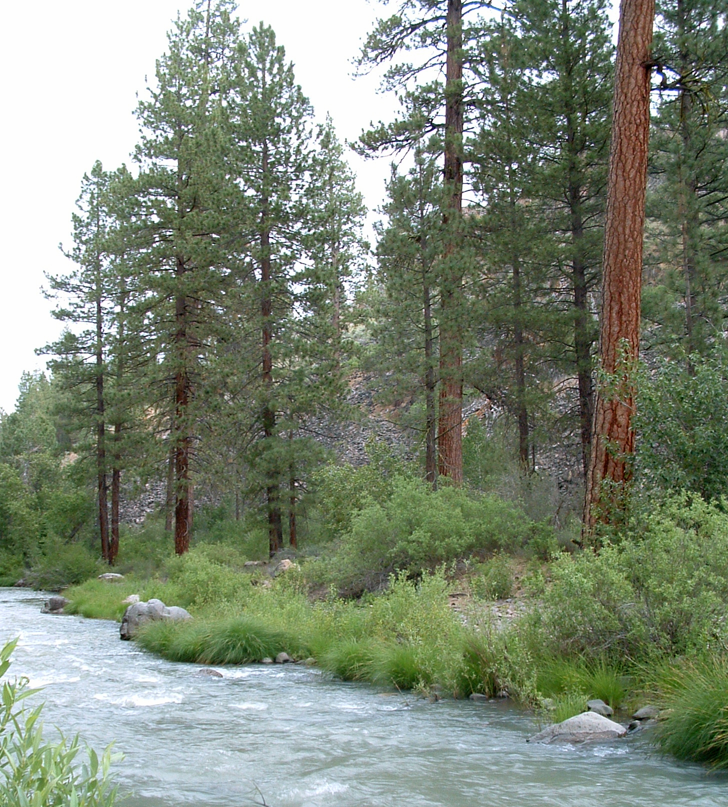 Susan RiverCanoeing · ~39 min drivePhoto: USFS Region 5, CC BY 2.0 (via Wikimedia Commons)
- Almanor Boat LaunchBoat launch · ~20 min drive
- Cooks CreekCanoeing · ~12 min drive
- Sandy Point Boating and Day Use SiteBoat launch · ~36 min drive
- Hamilton BranchCanoeing · ~18 min drive
- Juniper Lake Boat LaunchBoat launch · ~48 min drive
- Lights CreekCanoeing · ~19 min drive
- Lost Cove (Boating)Boat launch · ~35 min drive
Best time to visit Wolf Creek
Best months: April–June and August–October. Best months have typical highs of 55–85 °F, lows of 30 °F or warmer (32 °F where the station doesn't record snow), at most one snowy day and no more than 12 wet days.
Jan
42° / 25°
11 wet
Feb
45° / 26°
11 wet
Mar
51° / 29°
11 wet
Apr
58° / 32°
9 wet
May
68° / 39°
7 wet
Jun
78° / 45°
3 wet
Jul
86° / 50°
1 wet
Aug
85° / 49°
1 wet
Sep
79° / 44°
2 wet
Oct
65° / 36°
5 wet
Nov
50° / 30°
9 wet
Dec
41° / 25°
11 wet
Typical high / low (°F) and days with rain or snow, 1991–2020. Measured at Canyon Dam, CA, 6.2 mi away at 4,560 ft. This station doesn't record snowfall. Source: NOAA NCEI U.S. Climate Normals 1991–2020.

