Second Divide Trail
- 4.5 mi
- round trip
- 1,268 ft
- climb
- Singletrack
- surface
- Out and back
- route
- Apr–Oct
- best months
Caution at last check
Agency alerts are in effect for this area; weather is good · USFS, OpenWeather · checked 21 h ago
Is Second Divide Trail open right now?
Alert in the area
The Forest Service lists an alert for Tahoe National Forest.
Camping and Campfire Restrictions-Truckee and Sierraville Districts
Agency alert covering Tahoe National Forest · Order 17-25-05 · USFS · Tahoe National Forest
As of · Source: USFS · Tahoe National Forest. Agencies don't list every closure — check before you go.
Second Divide Trail is a 9-mile out-and-back mountain biking route in the Yuba River Ranger District of Tahoe National Forest in California, managed by the Forest Service. The trail starts at about 3,410 feet and climbs to about 4,542 feet, with a total elevation gain of 1,268 feet. It is rated moderate. Summer is the most comfortable time to ride. Typical averages from the nearby Bowman Dam weather station, which sits about 840 feet higher than the trail, show July highs around 82°F with lows near 54°F, while winter highs there stay in the mid-40s. The Third Divide Trail and Big Boulder Trail both lie about 0.1 mile away. Pauley Creek, a canoeing spot, is about 0.4 mile off, and Union Flat campground is about 3 miles away.
Local outfitters
- Alpenglow Expeditions40 mi away
Not on Roamze yet. Their page has how to reach them.
Best time to go · Apr–Oct
Best time to visit Second Divide Trail
Best months: April–October. Best months have typical highs of 55–85 °F, lows of 30 °F or warmer (32 °F where the station doesn't record snow), at most one snowy day and no more than 12 wet days.
Jan
46° / 29°
Feb
47° / 28°
Mar
49° / 30°
Apr
55° / 33°
May
64° / 40°
Jun
73° / 47°
Jul
82° / 54°
Aug
81° / 54°
Sep
77° / 51°
Oct
66° / 42°
Nov
54° / 34°
Dec
45° / 29°
Typical high / low (°F) and days with rain or snow, 1991–2020. Measured at Bowman Dam, CA, 12 mi away at 5,385 ft. The station sits about 800 ft higher than this place, so expect it a little warmer here. This station doesn't record snowfall. Source: NOAA NCEI U.S. Climate Normals 1991–2020.
Keep exploring — more rides worth the drive
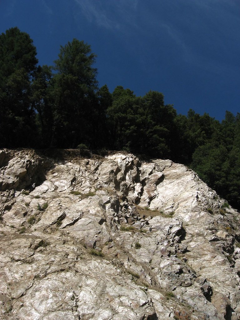
 Photo: Charlie Pankey, CC BY-SA 4.0 (via Wikimedia Commons)
Sardine Lake Overlook
~10 min drive
0.32-mile trail in Sierra Buttes, California with 309 ft elevation gain.
RIDE
Butcher Ranch Trail
~3 min drive
2.48-mile easy singletrack with 1,698 ft gain in California
RIDE
Rock Lake Trail
~13 min drive
Hard singletrack out-and-back in California, 0.16 miles, 42 ft gain.
RIDE
Mills Peak Trail
~16 min drive
7.02-mile out-and-back singletrack with 433 ft gain in California.
RIDE
Jamison Creek Trail
~14 min drive
Jamison Creek Trail is an expert-level singletrack trail in California.
Photo: Charlie Pankey, CC BY-SA 4.0 (via Wikimedia Commons)Sand Pond Interpretive
~12 min drive
0.09-mile trail in Sierra Buttes with 10 ft elevation gain.
RIDE
First Divide Trail
~5 min drive
0.59-mile easy singletrack with 262 ft gain in California.
RIDE
Wades/Jamison Lake Connector
~13 min drive
0.49-mile hard out-and-back trail in California with 460 ft elevation gain.
Photo: Charlie Pankey, CC BY-SA 4.0 (via Wikimedia Commons)Packer Lake Snowmobile Tr
~12 min drive
0.69-mile trail in Sierra Buttes, California with 169 ft of elevation gain.
RIDE
Butcher Ranch Trail
~6 min drive
1.74-mile easy singletrack with 454 ft gain in California.


Map and trail data © OpenStreetMap contributors
