Trail Canyon Spur
- 1.4 mi
- round trip
- 1,196 ft
- climb
- 4,280 ft
- high point
- Out and back
- route
Is Trail Canyon Spur open right now?
No closures listed
The National Park Service lists no closures for Death Valley National Park.
As of · Source: NPS · Death Valley National Park. Agencies don't list every closure — check before you go.
Trail Canyon Spur is a moderate out-and-back hike in Death Valley National Park in California, managed by the National Park Service. The route is about 2.8 miles long, with a total elevation gain of 1,196 feet, and it starts and ends at about 3,440 feet. The high point on the trail reaches 4,280 feet, and the climb is front-loaded, with the steepest stretch at about 0.66 miles in, where the grade reaches 17 percent. The hike is a short, focused outing that fits easily into a day in the park. Plan on about 1.5 hours for the round trip. The trail is a spur, so it works well as a standalone walk rather than a link in a longer route. For more time on foot, Wildrose Peak lies about 5.4 miles away, and the X-country route to Rogers Peak is about 7.8 miles off.
 Wildrose PeakHikingPhoto: Greg Willis from Denver, CO, usa, CC BY-SA 2.0 (via Wikimedia Commons)5.4 mi
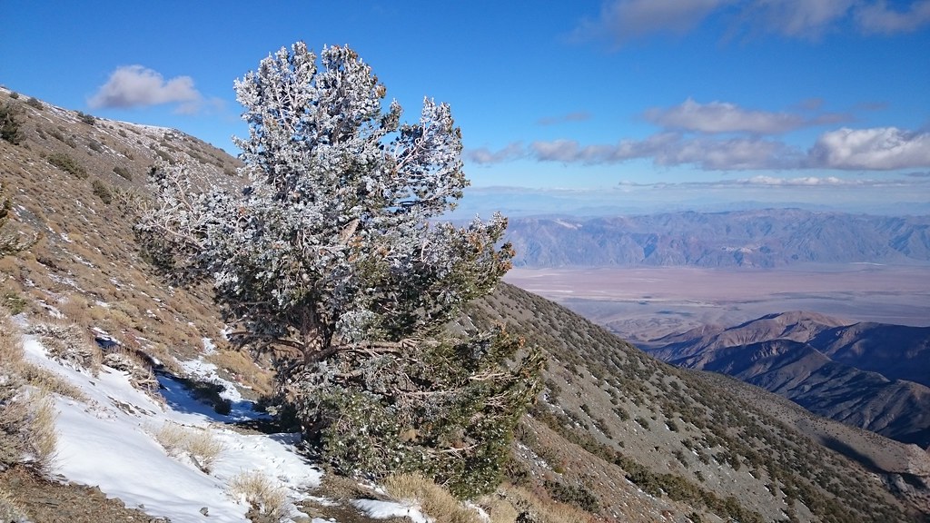 X-country route to Rogers PeakHikingPhoto: theforestprimeval, CC BY-SA 2.0 (via Flickr)7.8 mi
Source: Roamze catalog (indexable pages within 10 miles, PostGIS distance)
 Upper Trail CanyonHiking · ~4 min drivePhoto: GSEC, CC BY 2.0 (via Flickr)
- X-country route to Rogers PeakHiking · ~13 min drivePhoto: theforestprimeval, CC BY-SA 2.0 (via Flickr)
 Gower Gulch TrailHiking · ~22 min drivePhoto: Greg Willis from Denver, CO, usa, CC BY-SA 2.0 (via Wikimedia Commons)
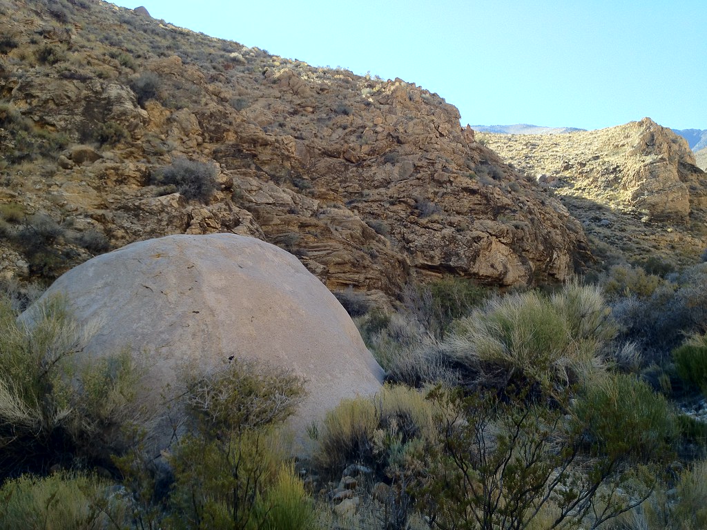 Hungry Bill's RanchHiking · ~27 min drivePhoto: stevelyon, CC BY-SA 2.0 (via Flickr)
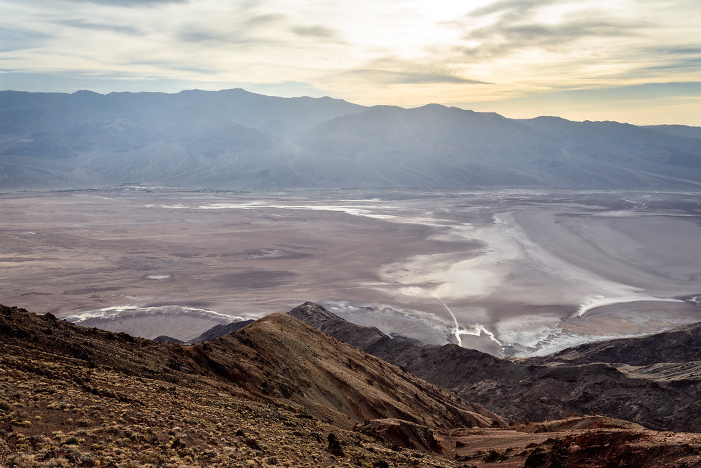 Dantes PeakHiking · ~32 min drivePhoto: dconvertini, CC BY-SA 2.0 (via Flickr)
- Wildrose PeakHiking · ~9 min drivePhoto: Greg Willis from Denver, CO, usa, CC BY-SA 2.0 (via Wikimedia Commons)
- Desolation CanyonHiking · ~22 min drive
 Funeral Canyon hiking routeHiking · ~24 min drivePhoto: Greg Schechter from San Francisco, USA, CC BY 2.0 (via Wikimedia Commons)
 Indian PassHiking · ~31 min drivePhoto: Ken Lund, CC BY-SA 2.0 (via Flickr)
- Telescope PeakHiking · ~18 min drive


Map and trail data © OpenStreetMap contributors
