Gower Gulch Trail
 Photo: Greg Willis from Denver, CO, usa, CC BY-SA 2.0 (via Wikimedia Commons)
- 2.1 mi
- round trip
- 1,323 ft
- climb
- 299 ft
- high point
- Out and back
- route
- Nov–Mar
- best months
Is Gower Gulch Trail open right now?
No closures listed
The National Park Service lists no closures for Death Valley National Park.
As of · Source: NPS · Death Valley National Park. Agencies don't list every closure — check before you go.
Gower Gulch Trail is a 4.1-mile out-and-back hike in California's Death Valley National Park, within the Death Valley Wilderness. The National Park Service manages the land, and the trail's route rises from a low point of about -184 feet to a high of 299 feet, with a total elevation gain of 1,323 feet over the round trip. The climb is front-loaded, with the steepest stretch at about 0.9 miles in, where the grade reaches 23 percent. Winter and early spring are the most comfortable times to go. Typical averages from a nearby weather station show January highs around 67°F and lows near 42°F, while summer highs climb into the 110s. That station sits about 500 feet lower than the trail's high point, so temperatures on the trail run a little cooler. The hike takes about two hours. The Badlands Loop and Desolation Canyon are both within about a mile and a half, and Furnace Creek Campground is roughly 4 miles away.
 Badlands LoopHikingPhoto: Greg Willis from Denver, CO, usa, CC BY-SA 2.0 (via Wikimedia Commons)1.1 mi
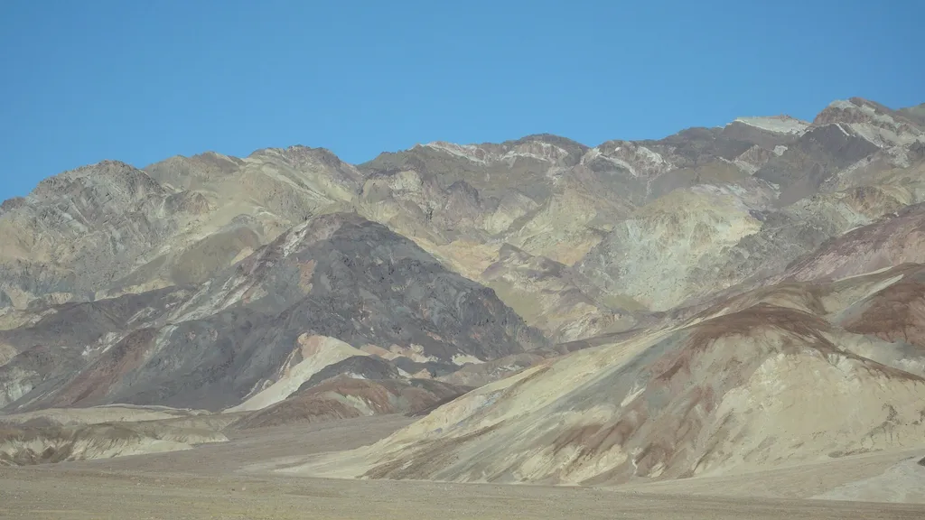 Desolation CanyonHikingPhoto: David Balmer — Wikimedia Commons (CC BY 3.0)1.3 mi
- Corral Horse pathHiking3.3 mi
 Funeral Canyon hiking routeHikingPhoto: Greg Schechter from San Francisco, USA, CC BY 2.0 (via Wikimedia Commons)3.5 mi
 Sunset CampgroundCampingPhoto: daveynin — CC BY 2.0 (via Flickr)3.6 mi
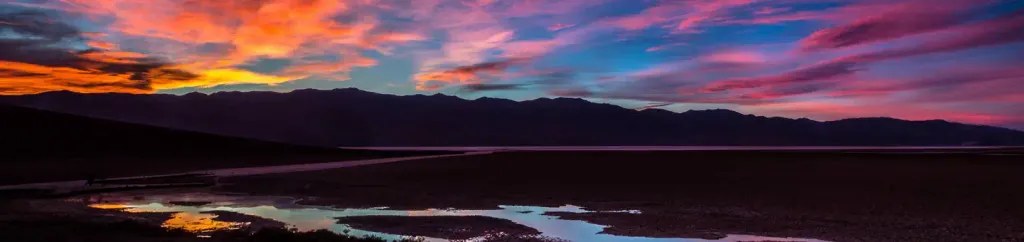 Furnace Creek CampgroundCampingPhoto: Recreation.gov (RIDB) / public domain3.9 mi
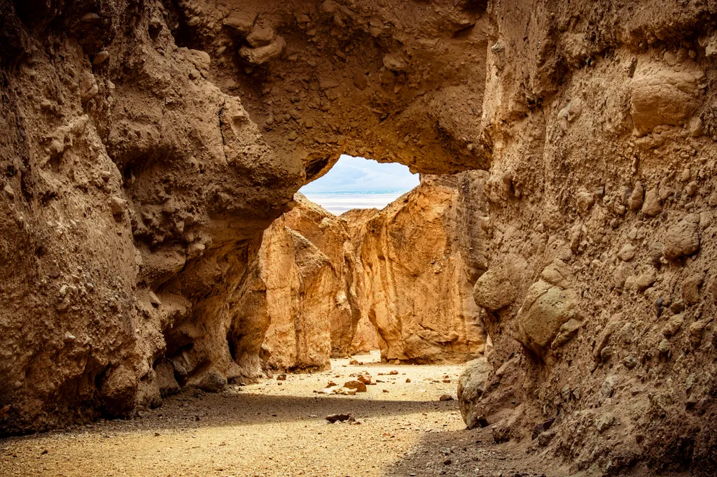 Natural BridgeHikingPhoto: NPS / public domain9.6 mi
Source: Roamze catalog (indexable pages within 10 miles, PostGIS distance)
- Golden CanyonHiking · ~2 min drive
- Funeral Canyon hiking routeHiking · ~6 min drivePhoto: Greg Schechter from San Francisco, USA, CC BY 2.0 (via Wikimedia Commons)
 Indian PassHiking · ~17 min drivePhoto: Ken Lund, CC BY-SA 2.0 (via Flickr)
 Upper Trail CanyonHiking · ~23 min drivePhoto: GSEC, CC BY 2.0 (via Flickr)
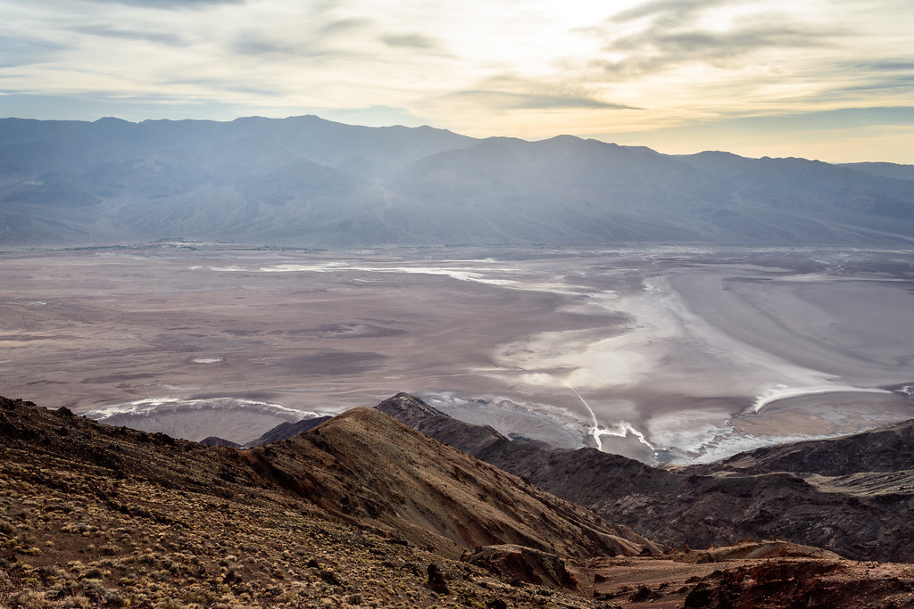 Dantes PeakHiking · ~25 min drivePhoto: dconvertini, CC BY-SA 2.0 (via Flickr)
- Badlands LoopHiking · ~2 min drivePhoto: Greg Willis from Denver, CO, usa, CC BY-SA 2.0 (via Wikimedia Commons)
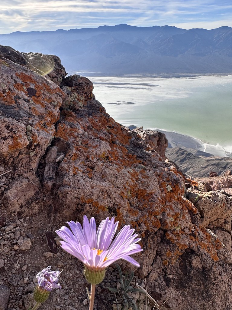 Mount PerryHiking · ~24 min drivePhoto: Seth Tisue, CC BY-SA 2.0 (via Flickr)
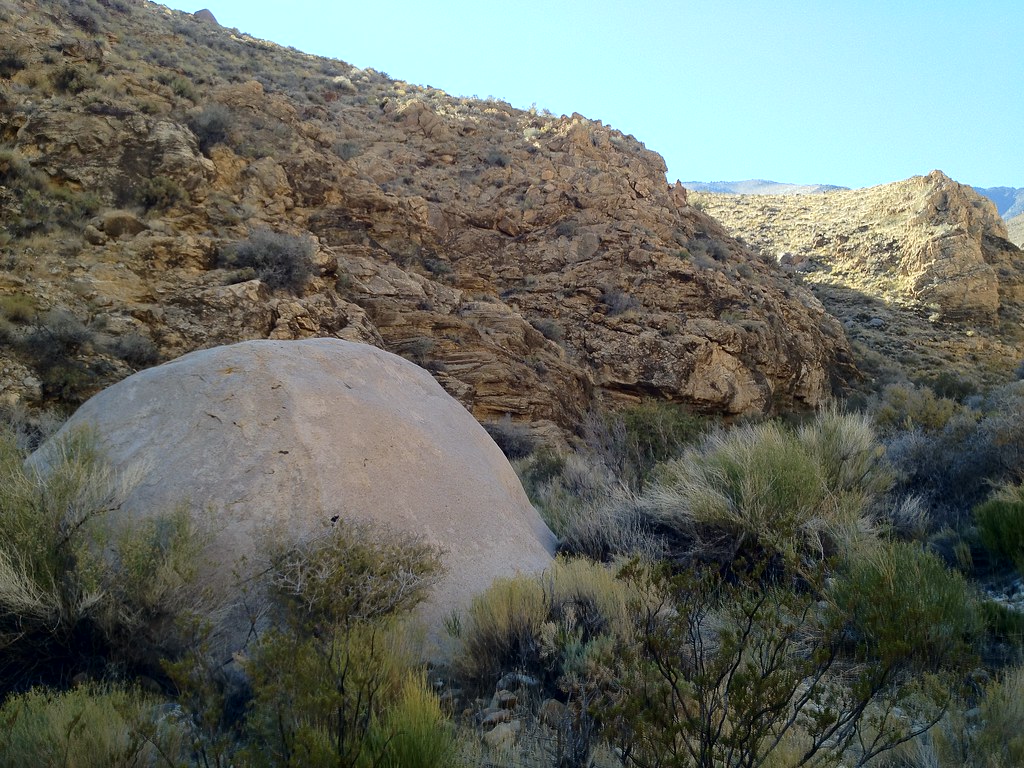 Hungry Bill's RanchHiking · ~41 min drivePhoto: stevelyon, CC BY-SA 2.0 (via Flickr)
 Wildrose PeakHiking · ~30 min drivePhoto: Greg Willis from Denver, CO, usa, CC BY-SA 2.0 (via Wikimedia Commons)
- Gower Gulch TrailHiking · ~2 min drivePhoto: Greg Willis from Denver, CO, usa, CC BY-SA 2.0 (via Wikimedia Commons)
Best time to visit Gower Gulch Trail
Best months: November–March. Best months have typical highs of 55–85 °F, lows of 30 °F or warmer (32 °F where the station doesn't record snow), at most one snowy day and no more than 12 wet days.
Jan
67° / 42°
2 wet
Feb
74° / 49°
3 wet
Mar
83° / 57°
2 wet
Apr
91° / 65°
1 wet
May
101° / 75°
1 wet
Jun
111° / 84°
1 wet
Jul
117° / 91°
1 wet
Aug
116° / 89°
1 wet
Sep
108° / 79°
1 wet
Oct
93° / 64°
1 wet
Nov
77° / 51°
1 wet
Dec
66° / 41°
2 wet
Typical high / low (°F) and days with rain or snow, 1991–2020. Measured at Death Valley Np, CA, 3.8 mi away at -194 ft. Source: NOAA NCEI U.S. Climate Normals 1991–2020.

Map and trail data © OpenStreetMap contributors
