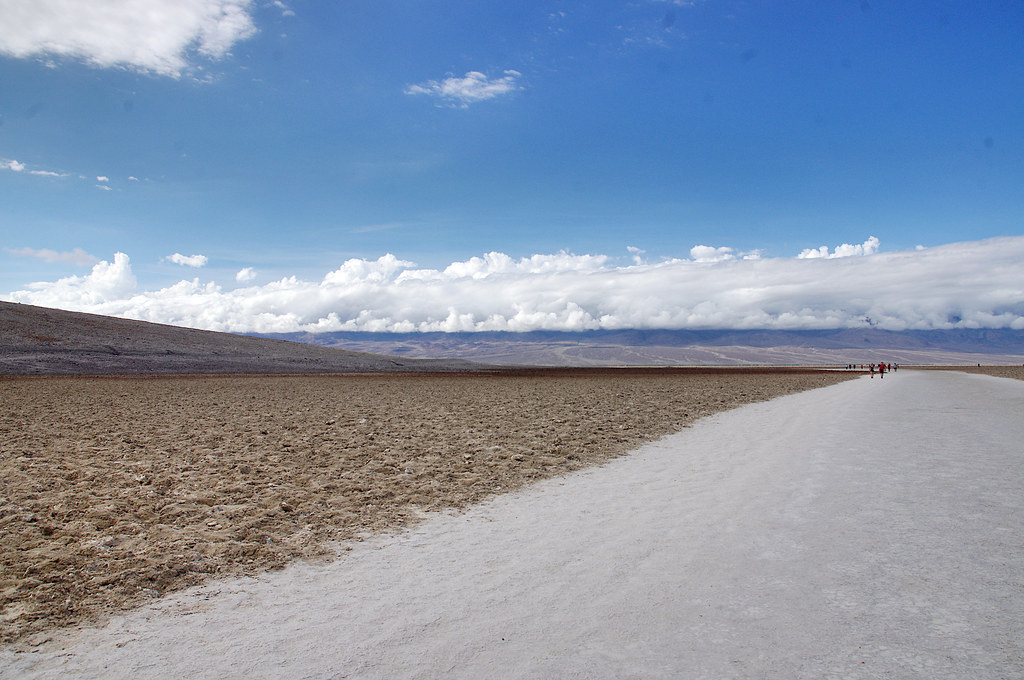
Badwater Salt Flats
California
Free — you'll pick up right here.
0.4 mi
Distance
0 ft
Gain
We don't cover this trail yet
No agency boundary, access route or field report is mapped to it — so there is no verdict, and we won't guess. We'll tell you the moment this trail has something to say.
Covered nearby
Trails within 25 miles where we do have a current picture.
Nobody's filed a report here yet — be the first.
Why you'll love it
Here's your day, mapped
Badwater Salt Flats
Suggested plan · check conditions before you go
Meals
Gear for the day
Elevation & route
- Distance
- 0.4 mi
- Elevation gain
- 0 ft
Photos
Directions & GPX
Permits & access
- Managing agency
- National Park Service
About this trail
Badwater Salt Flats is a short out-and-back trail in California's Death Valley National Park, covering 0.78 miles. The trail traverses the famous salt flats, offering a unique landscape experience in one of the hottest and lowest points in North America.
Add to a trip & share
Keep exploring — more trails worth the drive
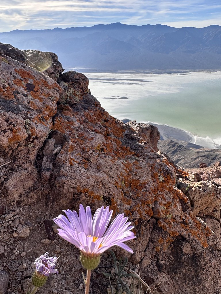 Photo: Seth Tisue, CC BY-SA 2.0 (via Flickr)
Mount Perry
~4 min drive
7.82-mile out-and-back trail in California with 1,138 ft elevation gain.
Natural Bridge
~7 min drive
Natural Bridge is a stunning geologic formation tucked back in a Death Valley canyon. This is an excellent short hike for families, geology lovers, and those who simply enjoy getting out and exploring. Although there is no official trail, a walk straight up the wash from the…
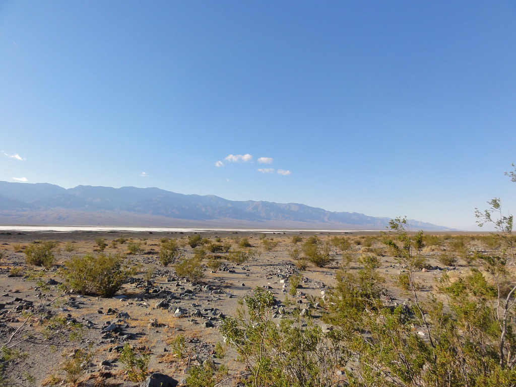 Photo: inazakira, CC BY-SA 2.0 (via Flickr)
Willow Canyon
~20 min drive
4.26-mile out-and-back trail in California with 1,175 ft elevation gain
 Photo: Greg Willis from Denver, CO, usa, CC BY-SA 2.0 (via Wikimedia Commons)
Wildrose Peak
~30 min drive
Piñon pines, peaks, and panoramas in the Panamints! Many hikers choose Wildrose Peak over Telescope Peak, daunted by Telescope’s additional elevation gain and mileage. However, if you are looking for an easier hike, don’t be fooled; Wildrose is quite the challenge! This stren…
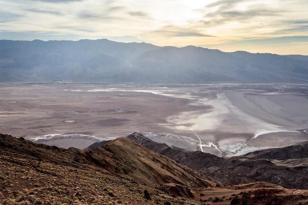 Photo: dconvertini, CC BY-SA 2.0 (via Flickr)
Dantes Peak
~4 min drive
0.72-mile out-and-back trail at Dantes Peak in California with 213 ft of elevation gain.
Desolation Canyon
~20 min drive
Colorful canyon walls and mud-cracked earth beckon those searching for an off-trail adventure. This spectacular canyon is less frequently explored than other areas of the park, and offers a challenging hike with incredible scenery. Upon entering the canyon, visitors find them…
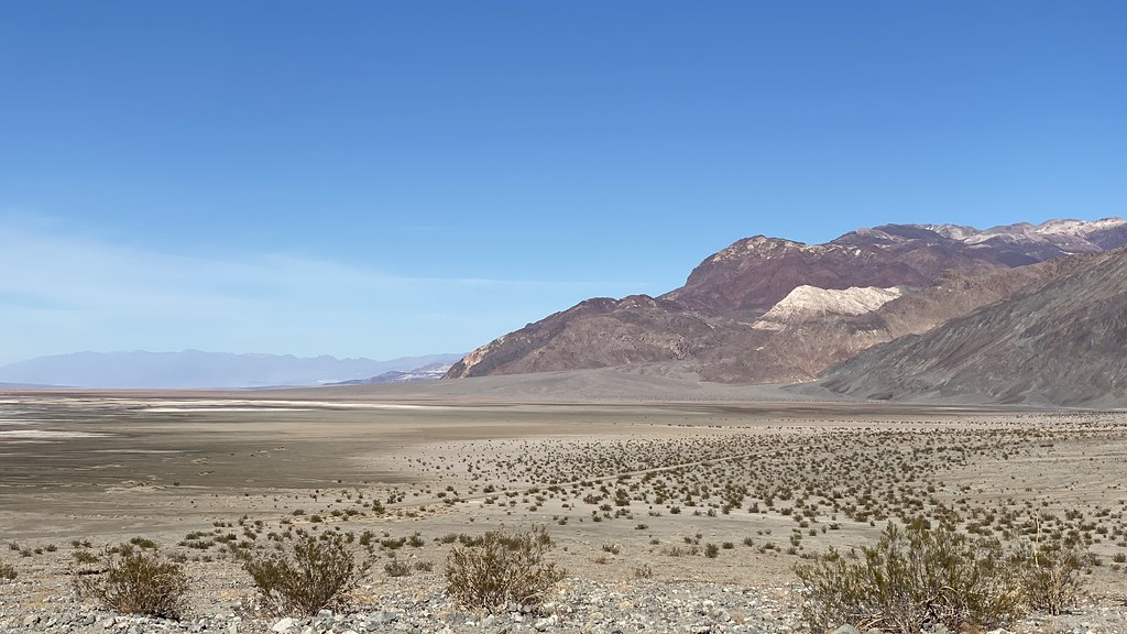 Photo: lamblukas, CC BY 2.0 (via Flickr)
Sidewinder Canyon
~20 min drive
4.18-mile out-and-back trail in California with 1,428 ft elevation gain
Telescope Peak
~32 min drive
The views from Telescope Peak are unsurpassed; to the east the swirling salt flats of Death Valley, and to the west the towering Sierra Nevada Mountains. At 11, 049 ft (3368 m), Telescope Peak is the tallest mountain in Death Valley National Park. This dramatic change in elev…
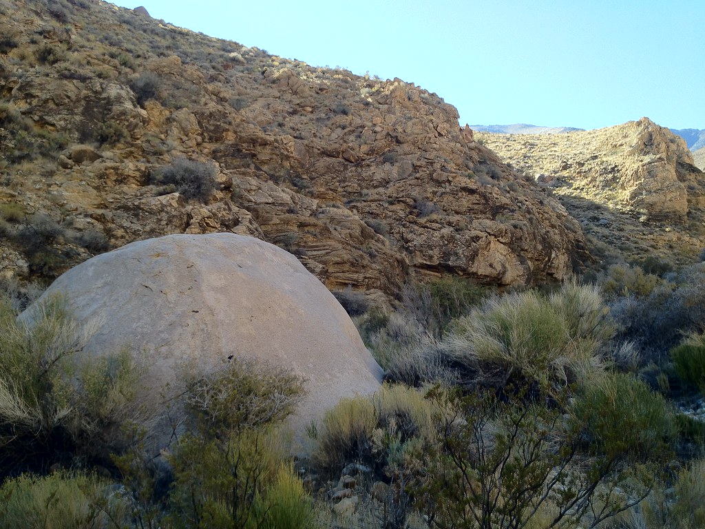 Photo: stevelyon, CC BY-SA 2.0 (via Flickr)
Hungry Bill's Ranch
~28 min drive
12.5-mile out-and-back trail at Hungry Bill's Ranch in California with 4,155 ft of elevation gain.
 Photo: Greg Willis from Denver, CO, usa, CC BY-SA 2.0 (via Wikimedia Commons)
Badlands Loop
~23 min drive
2.06-mile lollipop trail in California with 657 ft gain and 105 ft loss.


