West Fork Seiad Creek
- 8.4 mi
- round trip
- 2,905 ft
- climb
- 5,868 ft
- high point
- Out and back
- route
Is West Fork Seiad Creek open right now?
Alert in the area
The Forest Service lists 2 alerts for Klamath National Forest.
Temporarily closure of approximately 3.5 miles of National Forest System Roads 47N01
Agency alert covering Klamath National Forest · Order 05-05-00-26-08 · USFS · Klamath National Forest
Grayback Road Repairs
Agency alert covering Klamath National Forest · USFS · Klamath National Forest
As of · Source: USFS · Klamath National Forest. Agencies don't list every closure — check before you go.
West Fork Seiad Creek is a hard hike of about 8.4 miles on natural trail in the Oak Knoll Ranger District of Klamath National Forest in California, managed by the Forest Service. The route is an out-and-back that climbs from a low point of about 2,931 feet to a high of about 5,868 feet, with a total elevation gain of about 2,905 feet. The trail is a long, steep outing. Plan for a full day on foot, with the high point near the top of the climb. The route is natural, so expect a rougher surface than a developed trail. Nearby, Horse Camp Trail and Cook and Green Trail are both within about 2.3 miles. Seiad Creek, a canoeing route, is about 3 miles away, and Fort Goff campground is about 6.3 miles off.
Local outfitters
- Applegate Trail Rides22 mi away
- Ashland Family YMCA30 mi away
Not on Roamze yet. Their page has how to reach them.
- Horse Camp TrailHiking2.2 mi
- Cook and Green TrailHiking2.3 mi
- Seiad CreekCanoeing3 mi
- Darkey CreekHiking3.9 mi
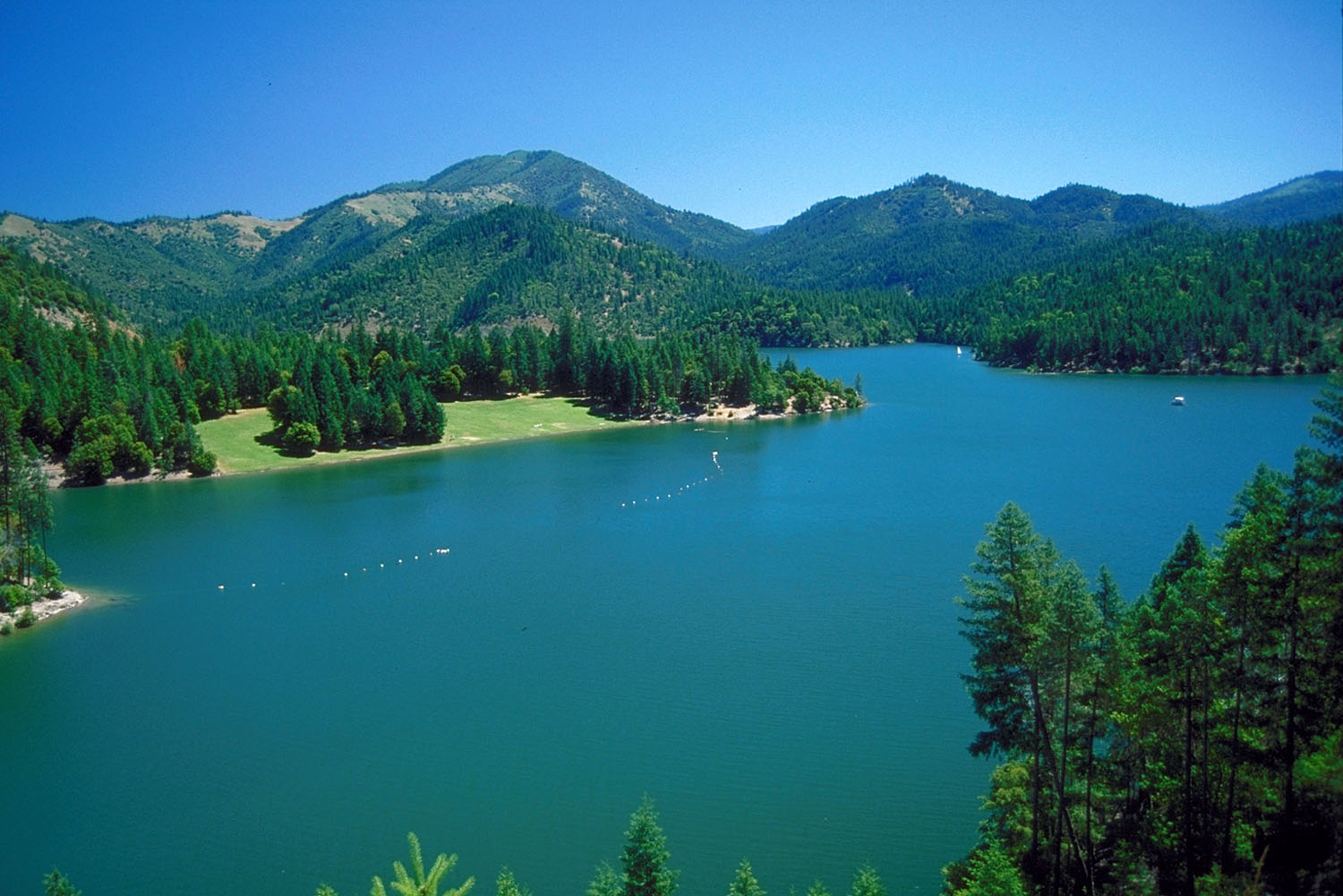 Applegate RiverCanoeingPhoto: Bill Johnson, U.S. Army Corps of Engineers, Public domain (via Wikimedia Commons)5.9 mi
- Fort GoffCamping6.3 mi
- Watkins CampgroundCamping8 mi
- Tipsu Tyee CampgroundCamping8.9 mi
Source: Roamze catalog (indexable pages within 10 miles, PostGIS distance)
 PayetteHiking · ~14 min drivePhoto: n.p.young, CC BY 3.0 (via Wikimedia Commons)
- Cut OffHiking · ~15 min drivePhoto: n.p.young, CC BY 3.0 (via Wikimedia Commons)
- Horse Camp TrailHiking · ~4 min drive
- Tin CupHiking · ~9 min drive
 ELLIOTT RIDGEHiking · ~14 min drivePhoto: n.p.young, CC BY 3.0 (via Wikimedia Commons)
- Shoo Fly TrailHiking · ~9 min drive
- Stein Butte Trail #929Hiking · ~15 min drive
- Frog Pond/cameron MeadowsHiking · ~14 min drive
 Da-Ku-Be-Te-DeHiking · ~14 min drivePhoto: n.p.young, CC BY 3.0 (via Wikimedia Commons)
- Pacific Crest National Scenic TrailHiking · ~12 min drive
