Sage Hill
Campground
Campground · 0.5 mi from the trail
 Photo: Damian Gadal, CC BY 2.0 (via Wikimedia Commons)
Alert in the area
The Forest Service lists 2 alerts for Los Padres National Forest.
Los Padres Fire Use and Firearm Restrictions
Agency alert covering Los Padres National Forest · Order 05-07-00-26-05 · USFS · Los Padres National Forest
Santa Barbara Front Country Fire Use Restrictions
Agency alert covering Los Padres National Forest · Order 05-07-5406-01 · USFS · Los Padres National Forest
As of · Source: USFS · Los Padres National Forest. Agencies don't list every closure — check before you go.
Aliso Loop is a 4.4-mile out-and-back hike in California's Los Padres National Forest, within the Santa Barbara Ranger District. The trail begins and ends at 1,020 feet, with a high point of 1,651 feet, and the total climb adds up to 1,513 feet of gain and loss over the round trip. The route is a moderate one, with rolling terrain that reaches its steepest stretch at about 0.9 miles in, where the grade tops out at 24%. Plan for about two hours on the trail. Spring and fall are the most comfortable times to go. Typical averages from a nearby weather station run from highs around 70°F in March to about 83°F in October. Summer is hot, with highs near 96°F in August. Snyder and Sage Hill are both about half a mile away. The Aliso Canyon Trail is 0.9 miles off, and Upper Oso campground is about 1.2 miles away.
Sage Hill
Campground
 If it rainsJllm06, CC BY-SA 3.0 · Wikimedia Commons
Natural history museum in Santa Barbara, California
Places © OpenStreetMap contributors · Photos: Jllm06, CC BY-SA 3.0 (commons)
More in CarpinteriaSnyderHikingPhoto: Damian Gadal, CC BY 2.0 (via Wikimedia Commons)0.5 mi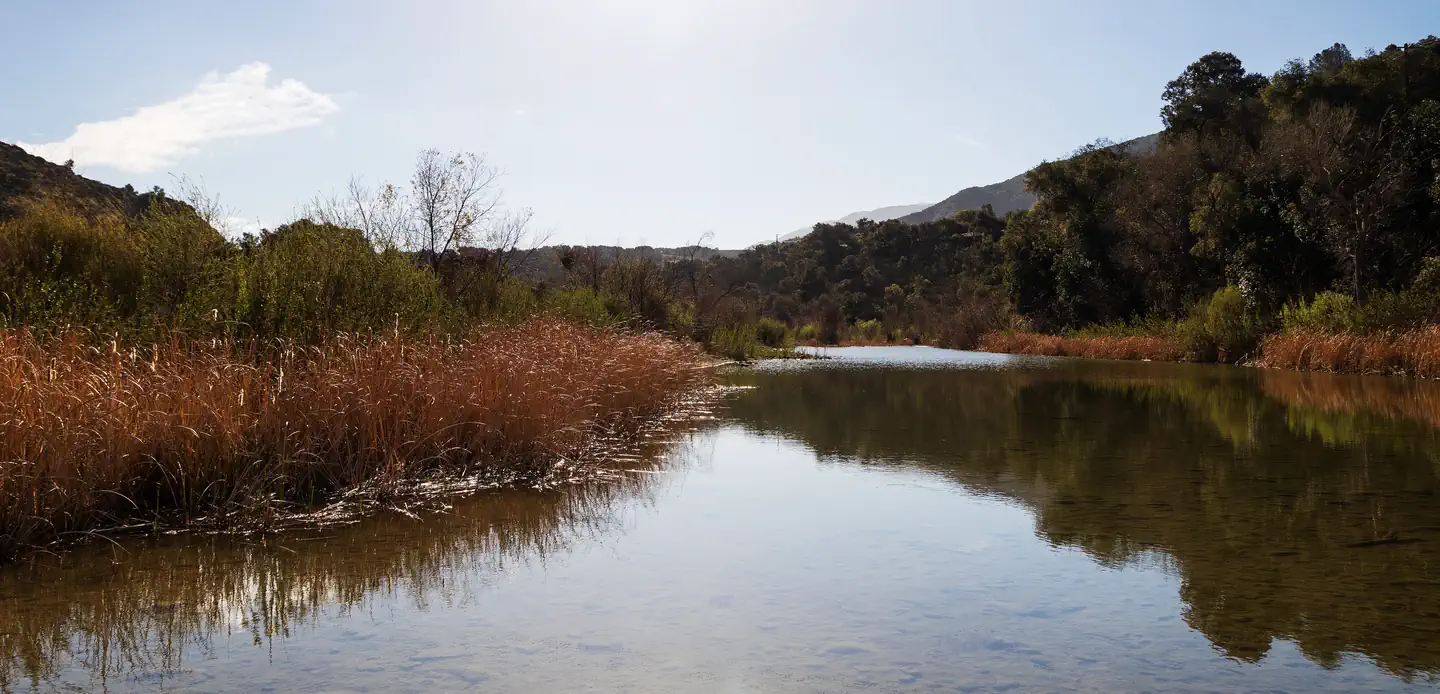 Sage HillSaltwater fishing0.5 mi
 Aliso Canyon TrailHikingPhoto: Region 5 Photography, Public domain (via Wikimedia Commons)0.9 mi
 Los PrietosCampingPhoto: Recreation.gov (RIDB) / public domain1.3 mi
 Hallway BoulderRock climbingPhoto: DieselDemon, CC BY 2.0 (via Flickr)3.3 miTrojan BoulderRock climbingPhoto: DieselDemon, CC BY 2.0 (via Flickr)3.3 mi
Source: Roamze catalog (indexable pages within 10 miles, PostGIS distance)
SnyderHiking · Next doorPhoto: Damian Gadal, CC BY 2.0 (via Wikimedia Commons)Aliso Canyon TrailHiking · ~2 min drivePhoto: Region 5 Photography, Public domain (via Wikimedia Commons) GibraltarHiking · ~8 min drivePhoto: Damian Gadal, CC BY 2.0 (via Wikimedia Commons)
 Arroyo BurroHiking · ~2 min drivePhoto: Region 5 Photography, Public domain (via Wikimedia Commons)Lower Oso To Upper Oso TrailHiking · ~2 min drivePhoto: Region 5 Photography, Public domain (via Wikimedia Commons)
 RattlesnakeHiking · ~14 min drivePhoto: bdearth, CC BY 2.0 (via Flickr)
 Cathedral Peak TrailHiking · ~11 min drivePhoto: bdearth, CC BY 2.0 (via Flickr)Aliso TrailHiking · ~2 min drivePhoto: Region 5 Photography, Public domain (via Wikimedia Commons)
 Root Cellar TrailHiking · ~15 min drivePhoto: breic, CC BY 2.0 (via Flickr)
 TunnelHiking · ~12 min drivePhoto: brewbooks, CC BY-SA 2.0 (via Flickr)
Best months: October–May. Best months have typical highs of 55–85 °F, lows of 30 °F or warmer (32 °F where the station doesn't record snow), at most one snowy day and no more than 12 wet days.
Jan
66° / 36°
8 wet
Feb
67° / 36°
9 wet
Mar
70° / 38°
7 wet
Apr
76° / 41°
4 wet
May
80° / 46°
2 wet
Jun
88° / 49°
0 wet
Jul
94° / 55°
0 wet
Aug
96° / 54°
0 wet
Sep
91° / 51°
1 wet
Oct
83° / 45°
2 wet
Nov
73° / 40°
3 wet
Dec
64° / 34°
6 wet
Typical high / low (°F) and days with rain or snow, 1991–2020. Measured at Gibraltar Dam #2, CA, 6.2 mi away at 1,558 ft. This station doesn't record snowfall. Source: NOAA NCEI U.S. Climate Normals 1991–2020.
