Watson Lake Campground
Campground
0.8 mi from the trail
The Tahoe Rim Trail is a 1.4-mile out-and-back hike on the Lake Tahoe Basin Management Unit in California, managed by the Forest Service. It starts at an elevation of about 7,400 feet and reaches roughly 7,645 feet on the way up, with about 672 feet of gain on the route out. The total climb for the round trip is about 1,177 feet, and the steepest stretch comes at about a mile in, with a grade of around 18%. Summer is the most comfortable time to go. Typical averages from a nearby weather station in Tahoe City show July highs around 78°F and only about one wet day, while winter brings highs near 40°F and frequent snow days. That station sits well below the trail, so temperatures on the trail run cooler. Cedar Flat Trail and Lakeview Ridge Trail are both about 0.3 miles away for mountain biking. Crawford Boulder is about 1.5 miles off for climbing, and Silver Creek-Truckee campground is about 3.5 miles away.
Where it is: Lake Tahoe Basin Management Unit
Best months: May–October. Best months have typical highs of 55–85 °F, lows of 30 °F or warmer (32 °F where the station doesn't record snow), at most one snowy day and no more than 12 wet days.
Jan
40°
21°
11 wet · 7 snow
Feb
40°
21°
10 wet · 7 snow
Mar
45°
24°
10 wet · 7 snow
Apr
50°
28°
8 wet · 4 snow
May
59°
34°
7 wet · 1 snow
Jun
69°
40°
3 wet
Jul
78°
46°
1 wet
Aug
77°
45°
2 wet
Sep
70°
41°
2 wet
Oct
59°
33°
4 wet · 1 snow
Nov
48°
26°
7 wet · 3 snow
Dec
40°
21°
10 wet · 6 snow
Typical high / low (°F) and days with rain or snow, 1991–2020. Measured at Tahoe City, CA, 3.2 mi away at 6,230 ft. The station sits about 1,400 ft lower than this place, so expect it a little cooler here. Source: NOAA NCEI U.S. Climate Normals 1991–2020.
Been here? Tell people how it was.
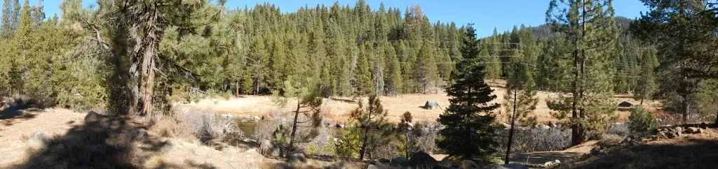 Silver Creek-TruckeeCampingPhoto: Recreation.gov (RIDB) / public domain3.8 mi
 Silver Creek CgCampingPhoto: Rojer — CC BY 2.0 (via Flickr)3.8 mi
 Martis CreekCanoeingPhoto: Schmiebel, CC BY-SA 3.0 (via Wikimedia Commons)5.2 mi
 Lakeview Ridge TrailHikingPhoto: TyB, CC BY 2.0 (via Flickr)Next doorCedar Flat TrailHikingPhoto: TyB, CC BY 2.0 (via Flickr)Next door
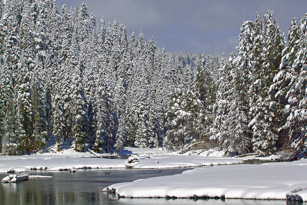 Tahoe Rim Trail (Glass Mountain)HikingPhoto: gabepopa, CC BY 2.0 (via Flickr)~6 min drive
 POLE CREEK NORDICHikingPhoto: mangtronix, CC BY-SA 2.0 (via Flickr)~7 min driveWestern States TrailHikingPhoto: mangtronix, CC BY-SA 2.0 (via Flickr)~5 min driveDollar Reservoir TrailHikingPhoto: TyB, CC BY 2.0 (via Flickr)~2 min driveCedar Flat TrailHikingPhoto: TyB, CC BY 2.0 (via Flickr)~2 min drive
Daily highs and lows, wind and the chance of precipitation at Start for the next 7 days, from the Open-Meteo model.
Questions about Tahoe Rim Trail: conditions, access, timing. Answers say when something isn't known.
Watson Lake Campground
Campground
Places © OpenStreetMap contributors, Places © Overture Maps Foundation
More in Sunnyside-Tahoe CityNot on Roamze yet. Their page has how to reach them.
Map and trail data © OpenStreetMap contributors
