

Lake Forest Campground
Campground
0.2 mi from the trail
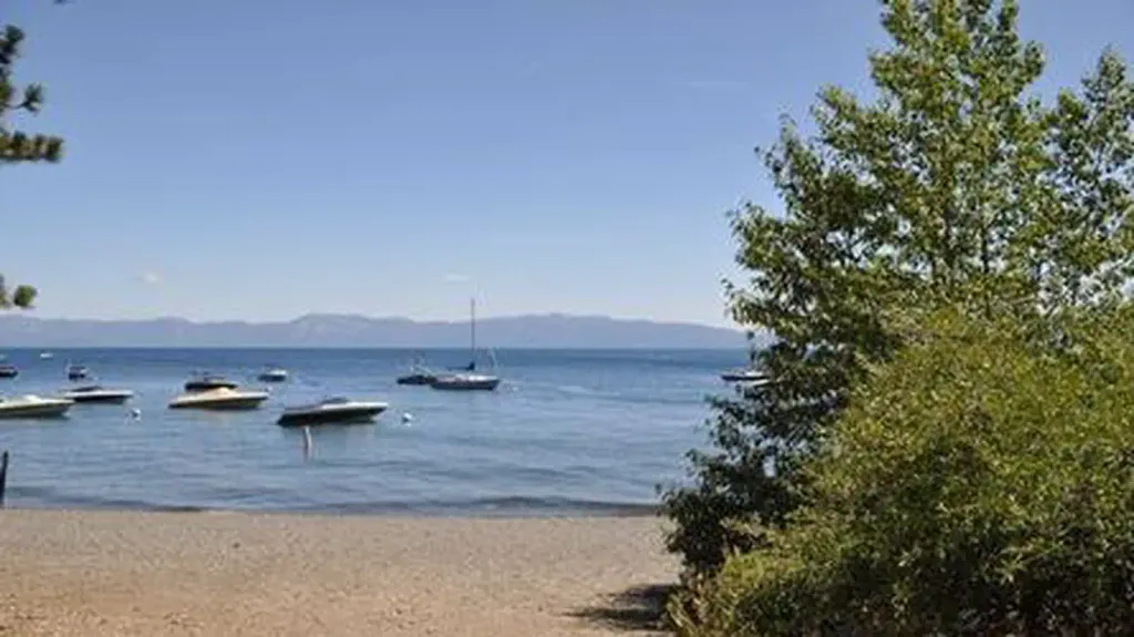
Lake Forest Public Access is a boat launch in the Lake Tahoe Basin Management Unit of California's national forest system, about 0.8 miles from the town of Dollar Point. It offers a put-in for boaters heading out on the water close to town. Summer is the most comfortable time to visit. Typical averages from a nearby weather station in Tahoe City show July highs around 78°F with lows near 46°F and only about one wet day in the month. Winters there are cold and snowy, with December and January highs around 40°F. For more time outdoors, the Lower Rocky Ridge Connector and the Decommisioned State Park Road mountain bike routes are both within a mile. Climbers can head to Crawford Boulder, about 1.9 miles away, and William Kent Campground offers a place to stay about 3.5 miles from the launch.
Where it is: Lake Tahoe Basin Management Unit
Near: Dollar Point, California · 0.8 mi
Best months: May–October. Best months have typical highs of 55–85 °F, lows of 30 °F or warmer (32 °F where the station doesn't record snow), at most one snowy day and no more than 12 wet days.
Jan
40°
21°
11 wet · 7 snow
Feb
40°
21°
10 wet · 7 snow
Mar
45°
24°
10 wet · 7 snow
Apr
50°
28°
8 wet · 4 snow
May
59°
34°
7 wet · 1 snow
Jun
69°
40°
3 wet
Jul
78°
46°
1 wet
Aug
77°
45°
2 wet
Sep
70°
41°
2 wet
Oct
59°
33°
4 wet · 1 snow
Nov
48°
26°
7 wet · 3 snow
Dec
40°
21°
10 wet · 6 snow
Typical high / low (°F) and days with rain or snow, 1991–2020. Measured at Tahoe City, CA, 1.6 mi away at 6,230 ft. Source: NOAA NCEI U.S. Climate Normals 1991–2020.
Been here? Tell people how it was.
 William Kent CampgroundCampingPhoto: Recreation.gov (RIDB) / public domain3.5 mi
 Kaspian CampgroundCampingPhoto: Recreation.gov (RIDB) / public domain5.1 mi
 Martis CreekCanoeingPhoto: Schmiebel, CC BY-SA 3.0 (via Wikimedia Commons)~13 min drive
 North Fork American RiverCanoeingPhoto: Moiseiko, CC BY-SA 3.0 (via Wikimedia Commons)~23 min drive
 Taylor CreekCanoeingPhoto: Schmiebel, CC BY-SA 3.0 (via Wikimedia Commons)~30 min drive
 Little Truckee RiverCanoeingPhoto: tomhilton, CC BY 2.0 (via Wikimedia Commons)~39 min drive
Daily highs and lows, wind and the chance of precipitation at Start for the next 7 days, from the Open-Meteo model.
Questions about Lake Forest Public Access: conditions, access, timing. Answers say when something isn't known.
Lake Forest Campground
Campground
Places © OpenStreetMap contributors, Places © Overture Maps Foundation
More in Sunnyside-Tahoe CityMap and trail data © OpenStreetMap contributors
