Horseshoe Meadow Equestrian Camp
Campground
Campground · 6.1 mi from the trail
 Photo: danhurt, CC BY-SA 2.0 (via Flickr)
Alert in the area
The Forest Service lists 3 alerts for Inyo National Forest.
Help Halt Golden Mussel Invasion
Agency alert covering Inyo National Forest · USFS · Inyo National Forest
Ansel Adams and John Muir Wilderness Campfire Restrictions
Agency alert covering Inyo National Forest · Order 05-04-50-25-04 · USFS · Inyo National Forest
Golden Trout and Hoover Wilderness Campfire Restrictions
Agency alert covering Inyo National Forest · Order 05-04-50-25-05 · USFS · Inyo National Forest
As of · Source: USFS · Inyo National Forest. Agencies don't list every closure — check before you go.
The Little Whitney to Big Whitney Meadow Trail is a 14.3-mile out-and-back hike in California's Golden Trout Wilderness, within the Mt. Whitney Ranger District of Inyo National Forest. The Forest Service manages the land, and the route starts at about 9,740 feet, climbs to a high point of 10,325 feet, and returns to the same starting elevation. The total elevation gain is 3,121 feet, and the steepest stretch comes at about 2.3 miles in, with a grade of 30 percent. The trail is rated hard, and the climb is back-loaded, meaning the most significant ascent happens in the second half of the route. Plan for about 6.5 hours on foot. The Siberian Pass Trail lies just 0.1 mile away, and the Siberian Pass Cutoff Trail is about 0.9 mile off. Rocky Basin Lakes is roughly 1.6 miles away, and Cottonwood Pass Walk In Campground is about 6.1 miles away.
Horseshoe Meadow Equestrian Camp
Campground
Whitney Portal Store
Restaurant
Kern Hot Spring
Hot spring
Places © OpenStreetMap contributors
More in Silver CityNot on Roamze yet. Their page has how to reach them.
Siberian Pass TrailHikingPhoto: danhurt, CC BY-SA 2.0 (via Flickr)0.1 mi Siberian Pass Cutoff TrailHikingPhoto: danhurt, CC BY-SA 2.0 (via Flickr)0.9 mi
 Lone Pine AreaRock climbingPhoto: Jesse Wagstaff, CC BY 2.0 (via Flickr)4.3 mi
 Whitney & Surrounding PeaksRock climbingPhoto: GSEC, CC BY 2.0 (via Flickr)9.2 mi
 Lone Pine PeakRock climbingPhoto: jfdervin, CC BY-SA 2.0 (via Flickr)9.2 mi
Source: Roamze catalog (indexable pages within 10 miles, PostGIS distance)
Siberian Pass TrailHiking · Next doorPhoto: danhurt, CC BY-SA 2.0 (via Flickr)Siberian Pass Cutoff TrailHiking · ~1 min drivePhoto: danhurt, CC BY-SA 2.0 (via Flickr) Soldier LakeHiking · ~7 min drivePhoto: NPS staff, Public domain (via Wikimedia Commons)
 Mount NewcombHiking · ~10 min drivePhoto: danhurt, CC BY-SA 2.0 (via Flickr)
 Cottonwood PassHiking · ~5 min drivePhoto: Jesse Wagstaff, CC BY 2.0 (via Flickr)Siberian PassHiking · ~4 min drivePhoto: Jesse Wagstaff, CC BY 2.0 (via Flickr)
 Kern Peak TrailHiking · ~8 min drivePhoto: danhurt, CC BY-SA 2.0 (via Flickr)
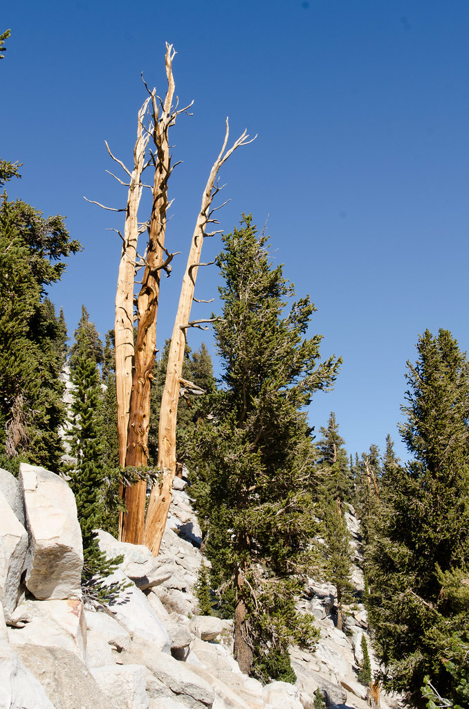 Cottonwood Pass TrailHiking · ~6 min drivePhoto: danhurt, CC BY-SA 2.0 (via Flickr)Tunnel CutoffHiking · ~7 min drivePhoto: danhurt, CC BY-SA 2.0 (via Flickr)
 Chicken Spring Lake (West)Hiking · ~5 min drivePhoto: danhurt, CC BY-SA 2.0 (via Flickr)
Also worth it near here
Map and trail data © OpenStreetMap contributors

