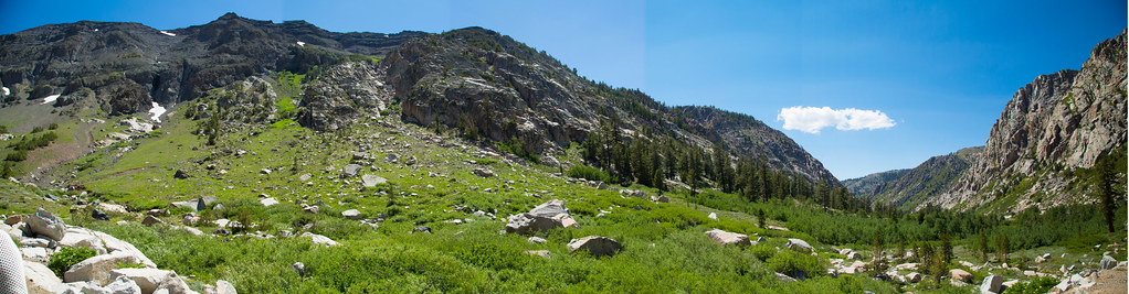
Chipmunk Flat Campground
Campground
Campground · 1.2 mi from the trail
 Photo: Tom Hilton, CC BY 2.0 (via Wikimedia Commons)
Closure in the area
There's a closure order in Stanislaus National Forest. It doesn't name Night Cap Peak, so check the source for the area it covers (2 listed).
Stanislaus National Forest extends seasonal MVUM closure for two high elevation roads
Agency closure covering Stanislaus National Forest · USFS · Stanislaus National Forest
Extension of Seasonal Road Closures
Agency closure covering Stanislaus National Forest · USFS · Stanislaus National Forest
As of · Source: USFS · Stanislaus National Forest. Agencies don't list every closure — check before you go.
Night Cap Peak is a summit of about 10,631 feet in Tuolumne County, California, inside the Emigrant Wilderness. The peak lies within the Summit Ranger District of Stanislaus National Forest, which the Forest Service manages, and the nearest town is Walker, about 19 miles away. Several other destinations sit close by. Chipmunk Flat, a climbing area, is about 1.4 miles away, and the Blue Canyon hike is about 1.7 miles off. The Relief Reservoir Trail is about 2.4 miles away, and the Baker campground is about 3.5 miles away.
Chipmunk Flat Campground
Campground
Places © OpenStreetMap contributors
More in Bear ValleyDaily highs and lows, wind and the chance of precipitation at the summit for the next 7 days, from the Open-Meteo model.
Elevation from USGS 3D Elevation Program terrain data (about 10 m resolution).
We don't know of a mapped trail or route to the summit of Night Cap Peak. Plan the approach with local maps, a guidebook or a local guide, and check conditions before you go.
10,631 ft (3,240 m).
We don't know of a mapped trail or route to the summit. Plan the approach with local maps, a guidebook or a local guide.
 Chipmunk FlatRock climbingPhoto: RuggyBearLA, CC BY 2.0 (via Flickr)1.4 mi
 Blue CanyonHikingPhoto: zoxcleb, CC BY-SA 2.0 (via Flickr)1.7 mi
 Relief Reservoir TrailHikingPhoto: farktronix, CC BY 2.0 (via Flickr)2.4 mi
Source: Roamze catalog (indexable pages within 10 miles, PostGIS distance)
 Leavitt PeakSummit · ~5 min drivePhoto: Miguel.v, Public domain (via Wikimedia Commons)
 Tower PeakSummit · ~23 min drivePhoto: Tom Hilton, CC BY 2.0 (via Wikimedia Commons)
 Crown PointSummit · ~32 min drivePhoto: Jonathan Fox, CC BY-SA 2.0 (via Wikimedia Commons)
 Kettle PeakSummit · ~33 min drivePhoto: Kurt Minard, CC BY-SA 3.0 (via Wikimedia Commons)
 Robinson PeakSummit · ~33 min drivePhoto: oliver.dodd, CC BY 2.0 (via Wikimedia Commons)
 Matterhorn PeakSummit · ~38 min drivePhoto: Jeffrey Pang from Berkeley, CA, USA, CC BY 2.0 (via Wikimedia Commons)
 Mount PattersonSummit · ~39 min drivePhoto: formulanone, CC BY-SA 2.0 (via Wikimedia Commons)
 Whorl MountainSummit · ~40 min drivePhoto: oliver.dodd, CC BY 2.0 (via Wikimedia Commons)
 Hetch Hetchy DomeSummit · ~41 min drivePhoto: Richard Wood, CC BY-SA 3.0 (via Wikimedia Commons)
 Twin PeaksSummit · ~41 min drivePhoto: C N, CC BY-SA 2.0 (via Wikimedia Commons)
