Wolf Creek
Campground
Campground · 5.6 mi from the trail
Closure in the area
There's a closure order in Carson Ranger District. It doesn't name Murray Canyon, so check the source for the area it covers (2 listed).
Hawk Fire Closure (Carson Ranger District)
Agency closure covering Carson Ranger District · Order 04-17-26-01-08 · USFS · Carson Ranger District
Elephant Fire Closure
Agency closure covering Humboldt-Toiyabe National Forest · Order 04-17-26-01-04 · USFS · Humboldt-Toiyabe National Forest
Floriston Fire Closure
Agency alert covering Carson Ranger District · Order 17-26-24 · USFS · Carson Ranger District
Power line construction along SR 88, Alpine County, California (Carson Ranger District)
Agency alert covering Carson Ranger District · USFS · Carson Ranger District
Over-Snow Vehicle Closure (Carson Ranger District)
Agency alert covering Carson Ranger District · Order 04-17-25-12 · USFS · Carson Ranger District
As of · Source: USFS · Carson Ranger District. Agencies don't list every closure — check before you go.
Murray Canyon is a 5.8-mile out-and-back hike in the Carson-Iceberg Wilderness, part of the Carson Ranger District of the Humboldt-Toiyabe National Forest in California. The trail climbs from a low point of about 6,910 feet to a high of 8,785 feet, a gain of 1,860 feet, and is rated moderate. The route is on natural surface, and horses are allowed. Bikes are not. The Forest Service manages the land, and the trail lies within designated wilderness. Summer is the most comfortable time to go. Typical averages from a nearby weather station at Dagget Pass, Nevada, show July highs around 75°F with lows near 49°F, and the station sits about 1,450 feet lower than the canyon's high point, so temperatures up top run cooler. The trail is open from June 1 to October 15. The East Carson River Trail starts less than a mile away, and the East Carson River and White Canyon Route are each about 1.5 miles off. For an overnight base, Highland Lakes campground is about 6.6 miles away.
Wolf Creek
Campground
Lake Alpine Resort
Restaurant
Alpine County Museum
Museum
Places © OpenStreetMap contributors
More in Bear Valley East Fork Carson RiverCanoeingPhoto: Matkatamiba, CC BY-SA 4.0 (via Wikimedia Commons)1.6 mi
Source: Roamze catalog (indexable pages within 10 miles, PostGIS distance)
 Corral ValleyHiking · ~8 min drivePhoto: jfdervin, CC BY-SA 2.0 (via Flickr)
 Clark ForkHiking · ~11 min drivePhoto: GSEC, CC BY 2.0 (via Flickr)
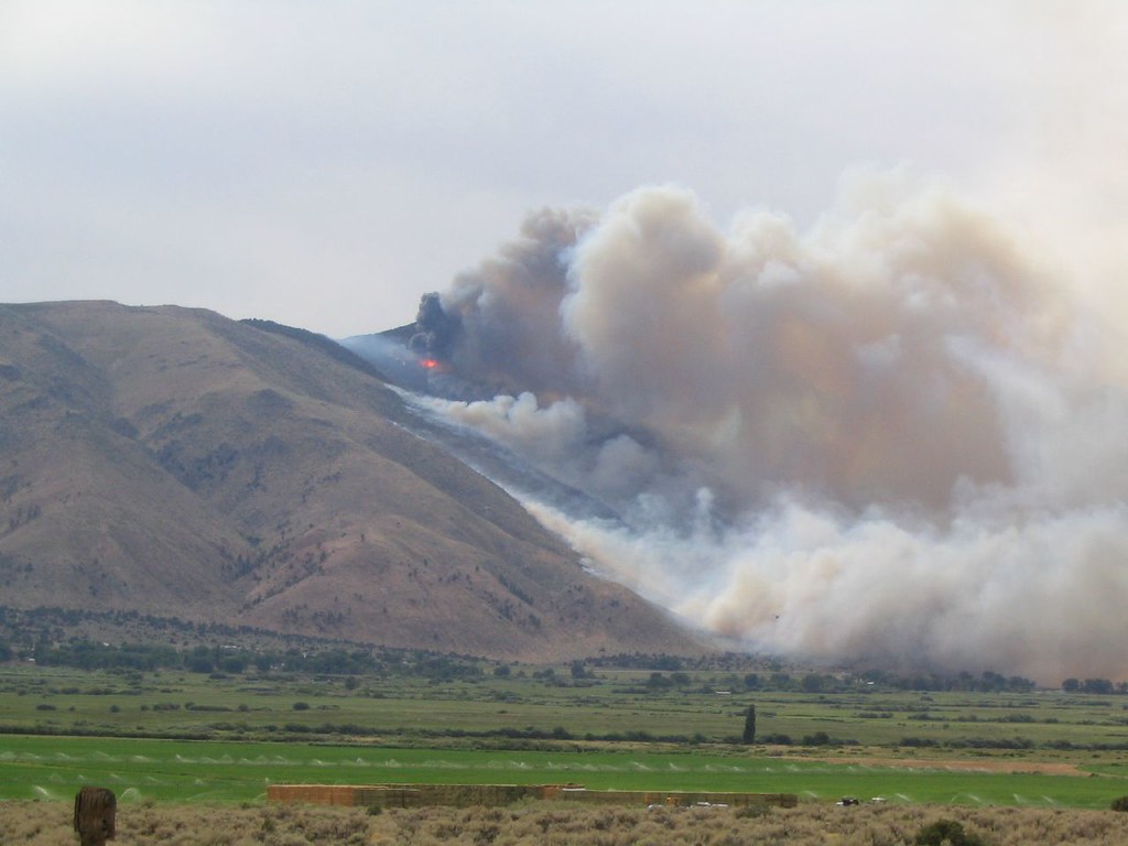 Lost Cannon TrailHiking · ~18 min drivePhoto: Ken Lund, CC BY-SA 2.0 (via Flickr)
 DrivewayHiking · ~11 min drivePhoto: jfdervin, CC BY-SA 2.0 (via Flickr)
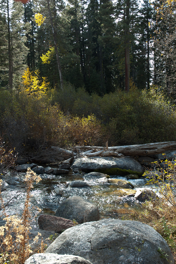 Disaster CreekHiking · ~11 min drivePhoto: Chris Mayer, CC BY 2.0 (via Flickr)Corral ValleyHiking · ~12 min drivePhoto: jfdervin, CC BY-SA 2.0 (via Flickr)
Best months: May–October. Best months have typical highs of 55–85 °F, lows of 30 °F or warmer (32 °F where the station doesn't record snow), at most one snowy day and no more than 12 wet days.
Jan
36° / 23°
9 wet
Feb
37° / 23°
8 wet
Mar
42° / 26°
7 wet
Apr
48° / 29°
5 wet
May
56° / 35°
4 wet
Jun
66° / 42°
2 wet
Jul
75° / 49°
2 wet
Aug
74° / 49°
1 wet
Sep
67° / 44°
2 wet
Oct
55° / 36°
3 wet
Nov
43° / 28°
5 wet
Dec
35° / 23°
7 wet
Typical high / low (°F) and days with rain or snow, 1991–2020. Measured at Dagget Pass, NV, 35 mi away at 7,334 ft. The station sits about 1,500 ft lower than this place, so expect it a little cooler here. This station doesn't record snowfall. Source: NOAA NCEI U.S. Climate Normals 1991–2020.

