Miller Loop
- 2.7 mi
- round trip
- 2,564 ft
- climb
- 3,320 ft
- high point
- Out and back
- route
Clear at last check
Weather is good · OpenWeather · checked 16 h ago
Miller Loop is a 2.68-mile, moderate hike in the King Range Wilderness of California, on Bureau of Land Management land within the Arcata Field Office. The trail is an out-and-back, and the route's geometry and elevation profile make it a climb worth planning around: the round trip is about 5.4 miles, with a total of about 2,564 feet of gain and loss. The highest point is 3,320 feet, and the steepest part comes around the 2-mile mark, where the grade reaches about 36%. The loop starts at the high point, and from there the trail descends to a low of about 2,406 feet before climbing back up. That makes it a natural base for exploring the surrounding network of routes. The estimated time for the trip is about 3 hours. Rattlesnake Ridge Trail is about a mile away, and Kinsey Ridge Trail and Maple Camp Trail are each within about 2.6 miles. For overnight stays, Honeydew Campground sits about 4.5 miles from the trail.
- Rattlesnake Ridge TrailHiking1 mi
- Kinsey Ridge TrailHiking2.5 mi
 Maple Camp TrailHikingPhoto: MARELBU, CC BY 3.0 (via Wikimedia Commons)2.6 mi
- Lightning TrailHikingPhoto: MARELBU, CC BY 3.0 (via Wikimedia Commons)2.7 mi
- Honeydew CampgroundCamping4.5 mi
- King Crest TrailHiking4.8 mi
- Cooskie Creek RouteHiking4.9 mi
- Tolkan CampgroundCamping8.6 mi
Source: Roamze catalog (indexable pages within 10 miles, PostGIS distance)
- Maple Camp TrailHiking · ~4 min drivePhoto: MARELBU, CC BY 3.0 (via Wikimedia Commons)
- Lightning TrailHiking · ~5 min drivePhoto: MARELBU, CC BY 3.0 (via Wikimedia Commons)
 Cooskie Creek RouteHiking · ~16 min drivePhoto: J Doll, CC BY 3.0 (via Wikimedia Commons)
 Thorton TrailHiking · ~25 min drivePhoto: Cal Fire Battalion Chief Kurt Dernedde, California Department of Forestry and Fire Protection, http://www.fire.ca.gov/, Public domain (via Wikimedia Commons)
- Bull Creek Trail SouthHiking · ~25 min drivePhoto: Cal Fire Battalion Chief Kurt Dernedde, California Department of Forestry and Fire Protection, http://www.fire.ca.gov/, Public domain (via Wikimedia Commons)
 Lost Coast TrailHiking · ~21 min drivePhoto: J Doll, CC BY 3.0 (via Wikimedia Commons)
 Johnson Camp TrailHiking · ~24 min drivePhoto: California Department of Parks and Recreation, Public domain (via Wikimedia Commons)
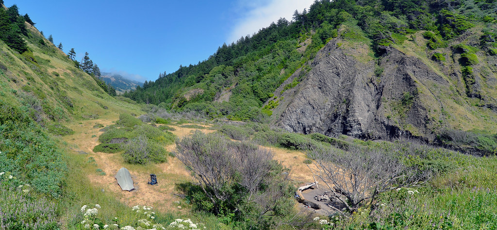 Cooskie Creek RouteHiking · ~13 min drivePhoto: Scrubhiker (USCdyer), CC BY 2.0 (via Flickr)
- Homestead TrailHiking · ~25 min drivePhoto: Cal Fire Battalion Chief Kurt Dernedde, California Department of Forestry and Fire Protection, http://www.fire.ca.gov/, Public domain (via Wikimedia Commons)
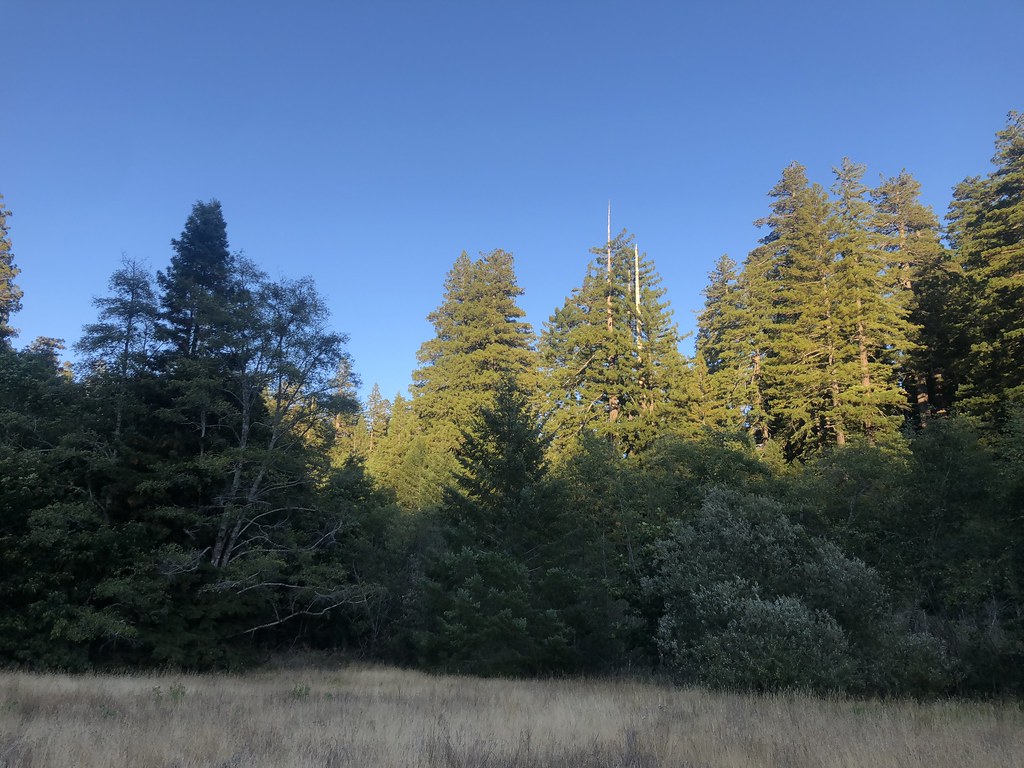 Baxter TrailHiking · ~24 min drivePhoto: Rainhead, CC BY-SA 2.0 (via Flickr)

Map and trail data © OpenStreetMap contributors
