Thorton Trail
 Photo: Cal Fire Battalion Chief Kurt Dernedde, California Department of Forestry and Fire Protection, http://www.fire.ca.gov/, Public domain (via Wikimedia Commons)
- 5.3 mi
- round trip
- 3,663 ft
- climb
- 2,363 ft
- high point
- Out and back
- route
Thorton Trail is a 5.3-mile moderate hike in Humboldt Redwoods State Park in northern California, managed by State Park and Recreation. The trail is an out-and-back with a total round-trip distance of about 10.6 miles and a total climb of about 3,663 feet. The one-way route gains about 2,631 feet, and the steepest stretch comes at about a mile into the hike, where the grade reaches 33 percent. The trail starts at roughly 568 feet and rises to a high point of about 2,363 feet. The steepest grade occurs close to the beginning, so plan for a significant climb early on. Several other trails sit close by. Homestead Trail is about 0.2 miles away, Bull Creek Trail South is about 0.4 miles away, and Baxter Trail and Addie Johnson Trail are each about a mile off. For camping, Marin Garden Club Grove Group Camp is about 4.8 miles away.
- Homestead TrailHikingPhoto: Cal Fire Battalion Chief Kurt Dernedde, California Department of Forestry and Fire Protection, http://www.fire.ca.gov/, Public domain (via Wikimedia Commons)0.2 mi
- Bull Creek Trail SouthHikingPhoto: Cal Fire Battalion Chief Kurt Dernedde, California Department of Forestry and Fire Protection, http://www.fire.ca.gov/, Public domain (via Wikimedia Commons)0.4 mi
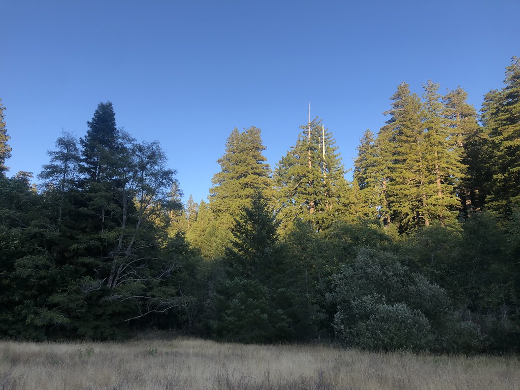 Baxter TrailHikingPhoto: Rainhead, CC BY-SA 2.0 (via Flickr)1 mi
 Addie Johnson TrailHikingPhoto: Strix_occidentalis_Humboldt_Redwoods_Park.jpg: Ilya Katsnelson from Mountain View, USA
derivative work: MPF (talk), CC BY 2.0 (via Wikimedia Commons)1 mi
 Bull Creek Trail NorthHikingPhoto: lamblukas, CC BY 2.0 (via Flickr)1.3 mi
- Marin Garden Club Grove Group CampCamping4.8 mi
- Chris CreekCanoeing6.3 mi
- Williams Grove Group CampCamping8.4 mi
Source: Roamze catalog (indexable pages within 10 miles, PostGIS distance)
- Homestead TrailHiking · Next doorPhoto: Cal Fire Battalion Chief Kurt Dernedde, California Department of Forestry and Fire Protection, http://www.fire.ca.gov/, Public domain (via Wikimedia Commons)
 Homestead TrailHiking · ~1 min drivePhoto: Jesse Palmer, CC BY-SA 2.0 (via Flickr)
 Johnson Camp TrailHiking · ~4 min drivePhoto: California Department of Parks and Recreation, Public domain (via Wikimedia Commons)
- Bull Creek Trail SouthHiking · Next doorPhoto: Cal Fire Battalion Chief Kurt Dernedde, California Department of Forestry and Fire Protection, http://www.fire.ca.gov/, Public domain (via Wikimedia Commons)
- Baxter TrailHiking · ~2 min drivePhoto: Rainhead, CC BY-SA 2.0 (via Flickr)
 Bull Creek Trail NorthHiking · ~6 min drivePhoto: Federico Pizano, CC BY 3.0 (via Wikimedia Commons)
- Homestead TrailHiking · ~2 min drivePhoto: Strix_occidentalis_Humboldt_Redwoods_Park.jpg: Ilya Katsnelson from Mountain View, USA
derivative work: MPF (talk), CC BY 2.0 (via Wikimedia Commons)
- Addie Johnson TrailHiking · ~2 min drivePhoto: Strix_occidentalis_Humboldt_Redwoods_Park.jpg: Ilya Katsnelson from Mountain View, USA
derivative work: MPF (talk), CC BY 2.0 (via Wikimedia Commons)
- River TrailHiking · ~7 min drivePhoto: Federico Pizano, CC BY 3.0 (via Wikimedia Commons)
 Rockefeller Loop TrailHiking · ~7 min drivePhoto: lamblukas, CC BY 2.0 (via Flickr)

Map and trail data © OpenStreetMap contributors
