King Crest Trail
- 11.1 mi
- round trip
- 6,483 ft
- climb
- 4,000 ft
- high point
- Out and back
- route
King Crest Trail is an expert-level out-and-back hike on Bureau of Land Management land in California, within the Arcata Field Office. The route is 22 miles long and gains about 6,483 feet in elevation, with the high point at 4,000 feet. The climb is steady, and the steepest stretch comes at about 7.7 miles, where the grade reaches 44 percent. The trail starts at the Saddle Mountain Trailhead, and the trip is estimated to take about 10.5 hours. The route is a long, sustained climb, with the low point at 2,703 feet and the start at 2,904 feet. For a break, Tolkan Campground sits about 3.9 miles away. Maple Camp Trail and Horse Mountain Creek Trail are both within about 3 miles. Paddlers can reach the Mattole River about 5.4 miles off.
Conditions and forecast on King Peak
Daily highs and lows, wind and the chance of precipitation at the summit and route start for the next 7 days, from the Open-Meteo model.
 Maple Camp TrailHikingPhoto: MARELBU, CC BY 3.0 (via Wikimedia Commons)2.3 mi
- Horse Mountain Creek TrailHiking3 mi
- Lightning TrailHikingPhoto: MARELBU, CC BY 3.0 (via Wikimedia Commons)3.1 mi
- Rattlesnake Ridge TrailHiking3.9 mi
- Tolkan CampgroundCamping3.9 mi
 Mattole RiverCanoeingPhoto: Ellin Beltz, Public domain (via Wikimedia Commons)5.4 mi
- Honeydew CampgroundCamping7 mi
- Nadelos CampgroundCamping8.8 mi
Source: Roamze catalog (indexable pages within 10 miles, PostGIS distance)
- Maple Camp TrailHiking · ~4 min drivePhoto: MARELBU, CC BY 3.0 (via Wikimedia Commons)
- Lightning TrailHiking · ~5 min drivePhoto: MARELBU, CC BY 3.0 (via Wikimedia Commons)
 Cooskie Creek RouteHiking · ~24 min drivePhoto: J Doll, CC BY 3.0 (via Wikimedia Commons)
 Thorton TrailHiking · ~27 min drivePhoto: Cal Fire Battalion Chief Kurt Dernedde, California Department of Forestry and Fire Protection, http://www.fire.ca.gov/, Public domain (via Wikimedia Commons)
 River TrailHiking · ~25 min drivePhoto: Avulsionist, CC BY 2.0 (via Flickr)
 River TrailHiking · ~25 min drivePhoto: Avulsionist, CC BY 2.0 (via Flickr)
 Johnson Camp TrailHiking · ~25 min drivePhoto: California Department of Parks and Recreation, Public domain (via Wikimedia Commons)
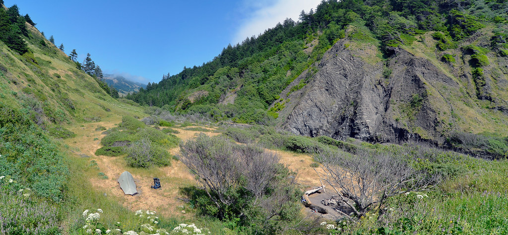 Cooskie Creek RouteHiking · ~21 min drivePhoto: Scrubhiker (USCdyer), CC BY 2.0 (via Flickr)
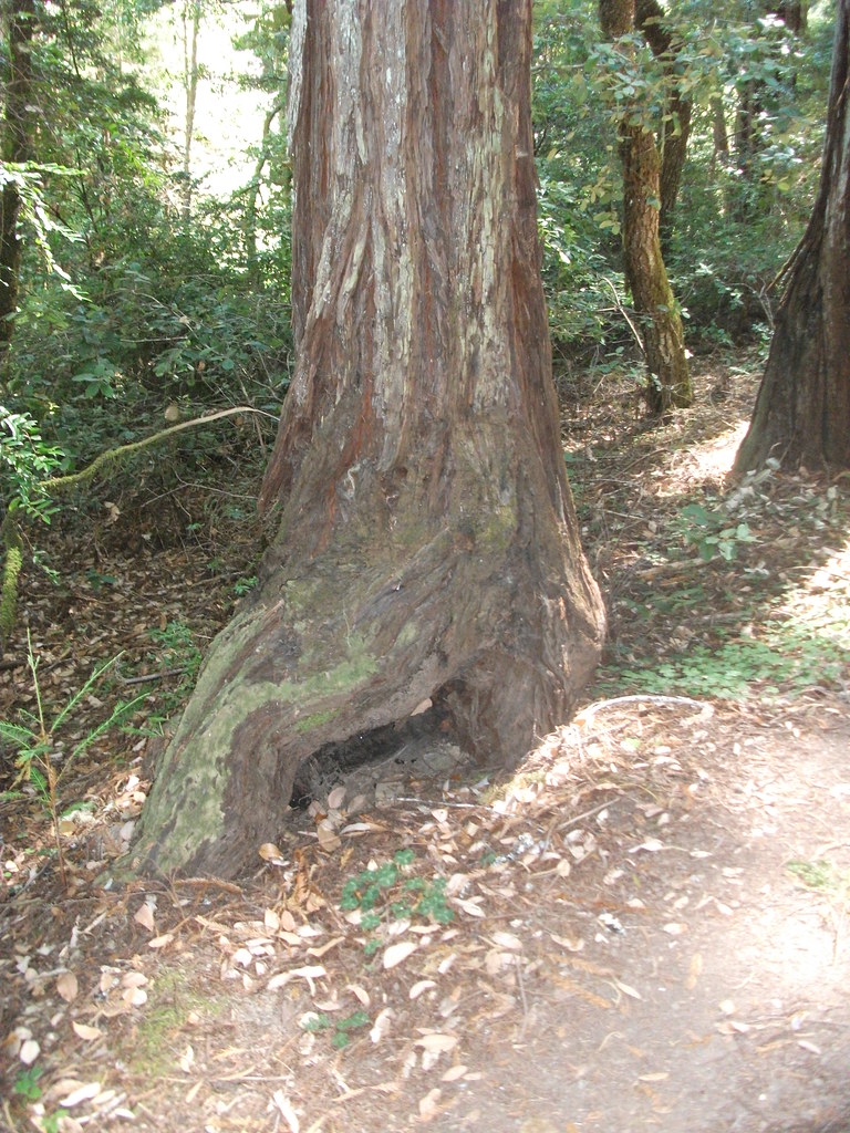 Kent-Mather Loop TrailHiking · ~26 min drivePhoto: timeyres, CC BY-SA 2.0 (via Flickr)
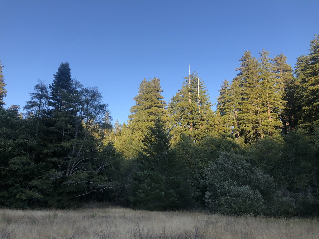 Baxter TrailHiking · ~26 min drivePhoto: Rainhead, CC BY-SA 2.0 (via Flickr)
Route details
- Distance
- 11.1 mi round trip
- Climbing
- About 6,483 ft
- Starts at
- Saddle Mountain Trailhead
- Summit
- 4,084 ft
- Difficulty
- Expert
- Time
- About 5.5 hours
Questions about this route
How long is the King Crest Trail on King Peak?
About 11.1 mi round trip from Saddle Mountain Trailhead.
How much elevation gain is on the King Crest Trail?
About 6,483 ft of climbing round trip.
How hard is the King Crest Trail?
It is rated expert.
Where does the King Crest Trail start?
Saddle Mountain Trailhead.
How long does the King Crest Trail take?
About 5.5 hours round trip.
Map and trail data © OpenStreetMap contributors
