Rattlesnake Ridge Trail
- 5.5 mi
- round trip
- 4,778 ft
- climb
- 3,400 ft
- high point
- Out and back
- route
Rattlesnake Ridge Trail is a hard hike in California's King Range Wilderness, managed by the Bureau of Land Management's Arcata Field Office. The trail is about 5.5 miles long, and the round trip climbs about 4,800 feet, with the high point at 3,400 feet. The route is an out-and-back that starts and ends at that elevation, and the climb is rolling rather than a single steep push. The trail lies within designated wilderness, so plan for a backcountry experience. The nearest town is Arcata, and the surrounding area offers several other hikes within a few miles, including Miller Loop, Maple Camp Trail and Lightning Trail. For an overnight base, Honeydew Campground sits about 5 miles away.
- Miller LoopHiking1 mi
 Maple Camp TrailHikingPhoto: MARELBU, CC BY 3.0 (via Wikimedia Commons)1.7 mi
- Lightning TrailHikingPhoto: MARELBU, CC BY 3.0 (via Wikimedia Commons)2.1 mi
- Kinsey Ridge TrailHiking3.3 mi
- King Crest TrailHiking3.9 mi
- Honeydew CampgroundCamping4.9 mi
- Tolkan CampgroundCamping7.6 mi
 Mattole RiverCanoeingPhoto: Ellin Beltz, Public domain (via Wikimedia Commons)9.2 mi
Source: Roamze catalog (indexable pages within 10 miles, PostGIS distance)
- Maple Camp TrailHiking · ~3 min drivePhoto: MARELBU, CC BY 3.0 (via Wikimedia Commons)
- Lightning TrailHiking · ~4 min drivePhoto: MARELBU, CC BY 3.0 (via Wikimedia Commons)
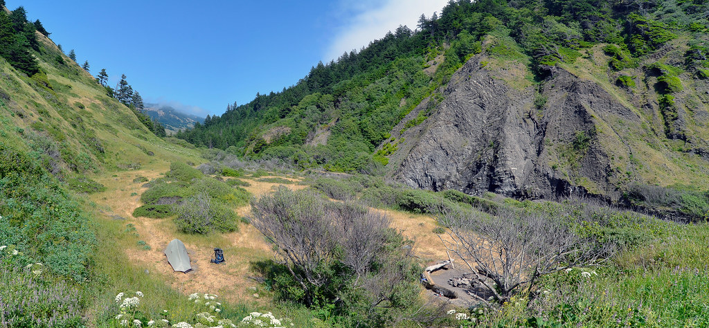 Cooskie Creek RouteHiking · ~14 min drivePhoto: Scrubhiker (USCdyer), CC BY 2.0 (via Flickr)
 Cooskie Creek RouteHiking · ~18 min drivePhoto: J Doll, CC BY 3.0 (via Wikimedia Commons)
 Bull Creek Trail SouthHiking · ~25 min drivePhoto: Cal Fire Battalion Chief Kurt Dernedde, California Department of Forestry and Fire Protection, http://www.fire.ca.gov/, Public domain (via Wikimedia Commons)
 Lost Coast TrailHiking · ~23 min drivePhoto: J Doll, CC BY 3.0 (via Wikimedia Commons)
- Thorton TrailHiking · ~26 min drivePhoto: Cal Fire Battalion Chief Kurt Dernedde, California Department of Forestry and Fire Protection, http://www.fire.ca.gov/, Public domain (via Wikimedia Commons)
 Johnson Camp TrailHiking · ~25 min drivePhoto: California Department of Parks and Recreation, Public domain (via Wikimedia Commons)
- Homestead TrailHiking · ~26 min drivePhoto: Cal Fire Battalion Chief Kurt Dernedde, California Department of Forestry and Fire Protection, http://www.fire.ca.gov/, Public domain (via Wikimedia Commons)
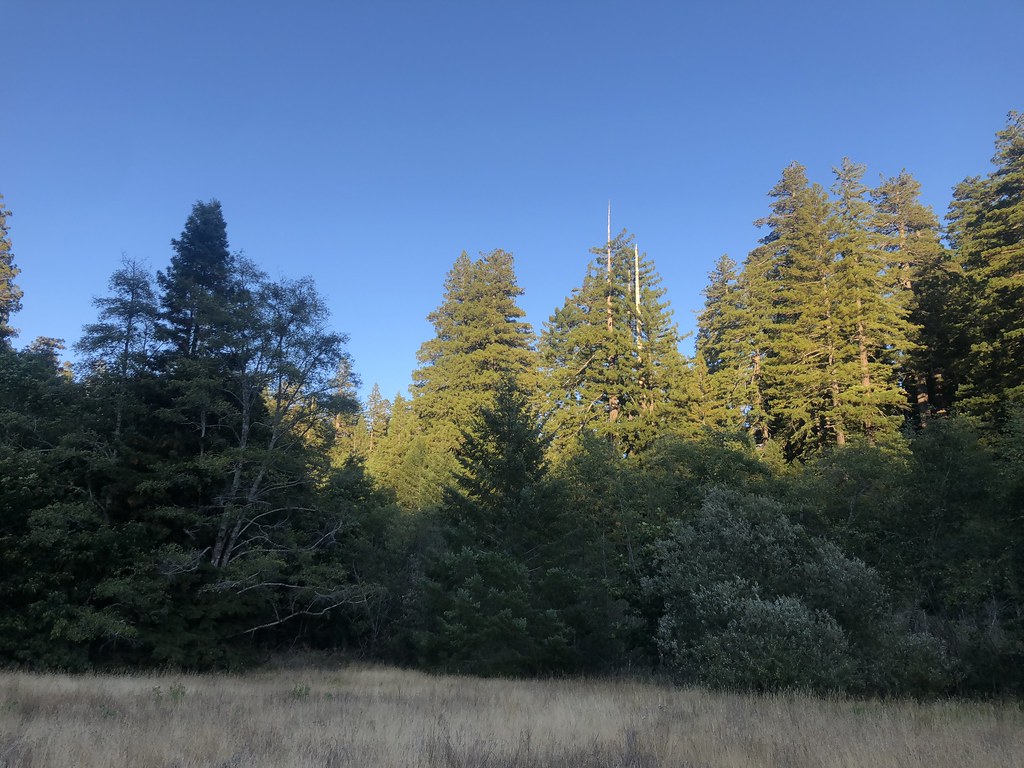 Baxter TrailHiking · ~24 min drivePhoto: Rainhead, CC BY-SA 2.0 (via Flickr)
Map and trail data © OpenStreetMap contributors
