Loading…

Free — you'll pick up right here.
Watch this trail
Sign up to watch it — saving subscribes you to gate, closure and report changes.
California
15.7 mi
Distance
3,061 ft
Gain
Agency alerts are in effect for this area; weather is good
2 factors · 2 sources
Newest 17 h ago · oldest 28 d
caution: Agency alerts
6 active alerts in Los Padres National Forest; most severe: Road Use Restriction - Sycamore Cyn Rd to Pfeiffer Beach
USFS28 d ago
clear: Weather
Clouds, high 72°F / low 55°F, 3% precip — 97/100 for hike
OpenWeather17 h ago
Been out here in the last few days? One report keeps this current for everyone.
Why you'll love it
Tunnel
AI-suggested draft · review before you go
No permit or access details on file for this trail — check with the local land manager before you go.
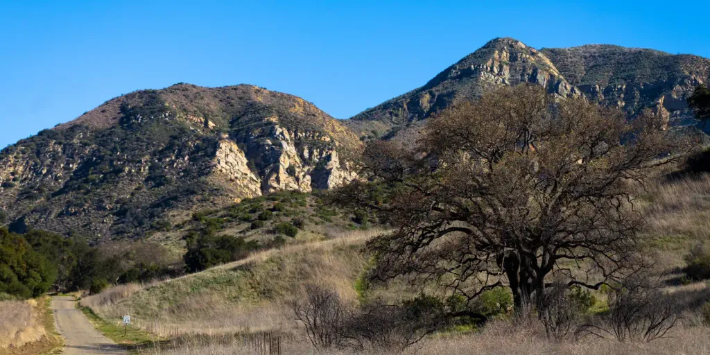
Tunnel Trail is a challenging 15.69-mile route that gains over 3,000 feet of elevation, offering hikers a substantial day-long adventure through California's diverse terrain. This hard-difficulty trail tests endurance and fitness while rewarding hikers with extended views and a sense of accomplishment. The sustained elevation gain and distance make this a popular choice for experienced hikers seeking a full-day wilderness experience.
Jesusita
~2 min drive
Moderate 8.6-mile Santa Barbara foothills hike with 1,894 ft elevation gain.
Rattlesnake
~2 min drive
Steep 4.8-mile climb with 2,000 ft gain in Rattlesnake area.
Caliente
~17 min drive
Short, easy hike near Caliente with minimal elevation gain.
Cold Spring
~6 min drive
Challenging 18.85-mile backcountry trek with 3,471 ft elevation gain.
Indian Canyon
~15 min drive
Scenic 4.5-mile canyon hike with 575 ft elevation gain near Indian Canyon.
Tequepis
~26 min drive
Easy 1.1-mile hike with 326 ft elevation gain near Tequepis.
San Ysidro
~9 min drive
Strenuous 8.94-mile climb with 3,772 ft elevation gain near San Ysidro.
Franklin
~20 min drive
Moderately steep 5.47-mile hike with 2,571 ft elevation gain near Franklin.
Murietta
~31 min drive
Easy 1.86-mile trail with minimal elevation gain near Murrieta.
Arroyo Burro
~10 min drive
Moderate coastal climb with ocean views and significant elevation gain near Santa Barbara.