Ryan Mountain Campground
Campground
Sites open the weekend of Nov 20 on Recreation.gov
 Photo: Tony Webster, CC BY 2.0 (via Flickr)
Alert in the area
The National Park Service lists 2 alerts for Joshua Tree National Park.
Inaccurate Third-Party Apps
Park alert covering Joshua Tree National Park · NPS · Joshua Tree National Park
Oasis of Mara Trail Partial Closure
Park alert covering Joshua Tree National Park · NPS · Joshua Tree National Park
As of · Source: NPS · Joshua Tree National Park. Agencies don't list every closure — check before you go.
The California Riding and Hiking Trail is a 15-mile out-and-back hike in Joshua Tree National Park, managed by the National Park Service. The trail starts at Stubbe Springs Trailhead, about 0.1 mile away, and reaches a high point of about 5,160 feet. The route is rolling, with a total climb of about 3,694 feet and a steepest grade of about 23% at around 7.2 miles in. The trail is rated easy, and the round trip covers about 30 miles with roughly 3,700 feet of elevation gain and loss. The most comfortable time to go is spring, when typical averages from a nearby weather station run in the mid-70s °F with lows in the 40s. Winter brings cooler temperatures and more rain. Nearby, the Cap Rock Area and Picture Perfect Boulder offer climbing within about half a mile. Ryan Ranch Trailhead is about a mile away, and Sheep Pass Group campground is about 3 miles off.
Ryan Mountain Campground
Campground
 If it rainsJarek Tuszyński, CC BY 3.0 · Wikimedia Commons
Places © OpenStreetMap contributors · Photos: Jarek Tuszyński, CC BY 3.0 (commons)
More in Coachella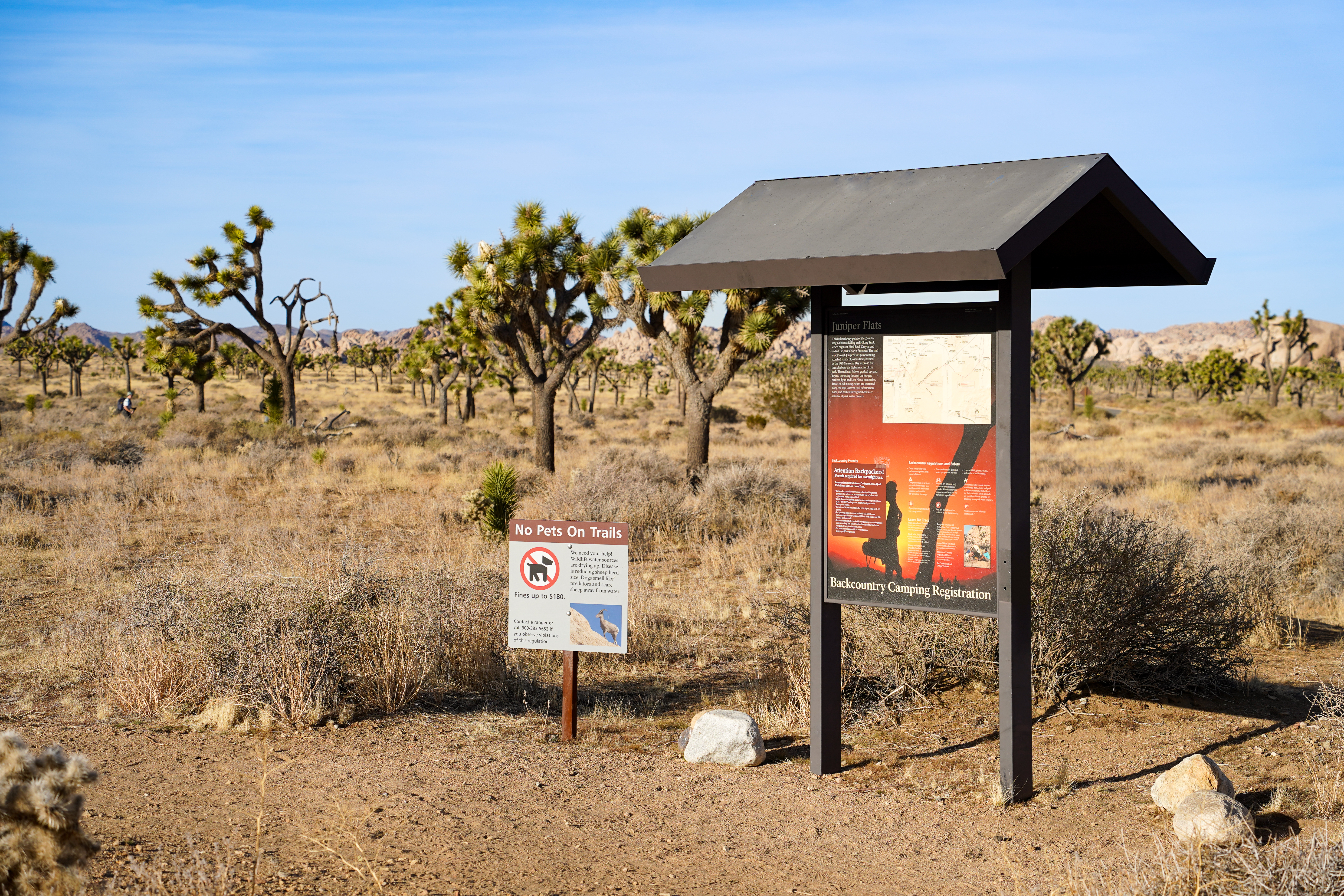 Stubbe Springs TrailheadHikingPhoto: NPS/Samantha Laarman0.1 mi
 Cap Rock AreaRock climbingPhoto: RuggyBearLA, CC BY-SA 2.0 (via Flickr)0.4 mi
 Picture Perfect BoulderRock climbingPhoto: ray_explores, CC BY 2.0 (via Flickr)0.6 mi
 Black Lichen BoulderRock climbingPhoto: Farragutful, CC BY-SA 4.0 (via Wikimedia Commons)0.6 mi
 Seven Grain BoulderRock climbingPhoto: ray_explores, CC BY 2.0 (via Flickr)0.6 mi
 Cap RockHikingPhoto: NPS / Brad Sutton0.8 mi
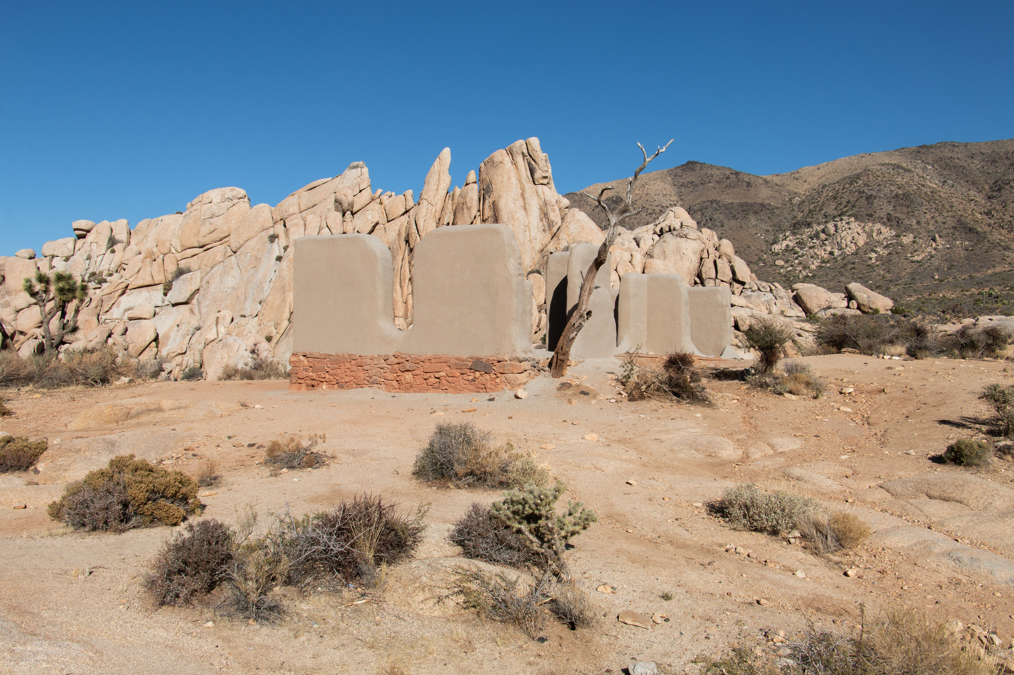 Ryan Ranch TrailheadHikingPhoto: NPS/Paul Martinez1 mi
 Sheep Pass GroupCampingPhoto: Recreation.gov (RIDB) / public domain3.1 mi
Source: Roamze catalog (indexable pages within 10 miles, PostGIS distance)
 Paac Kü̱vü̱hü̱’k TrailHiking · ~11 min drivePhoto: inkknife_2000 (7.5 million views +), CC BY-SA 2.0 (via Wikimedia Commons)
Map and trail data © OpenStreetMap contributors

