Loading…

Free — you'll pick up right here.
Watch this trail
Sign up to watch it — saving subscribes you to gate, closure and report changes.
California
6.0 mi
Distance
1,039 ft
Gain
We won't guess. Here is exactly what we do and don't know.
What we do know
Inside Klamath National Forest
2 managing-area boundaries mapped — agency alerts for them feed this page automatically.
Boundary data
What's missing
No access route mapped
We don't yet know which road reaches this trailhead, so we can't tell you if it's gated.
Nobody's filed a report here yet — be the first.
Why you'll love it
Long Loop
AI-suggested draft · review before you go
No permit or access details on file for this trail — check with the local land manager before you go.
The Long Loop is a moderate 6-mile circuit offering a well-rounded hiking experience with over 1,000 feet of elevation gain. This trail provides a good balance of distance and vertical challenge, making it ideal for hikers looking to build endurance without committing to a full day expedition. The loop format allows for varied scenery and terrain throughout the route.
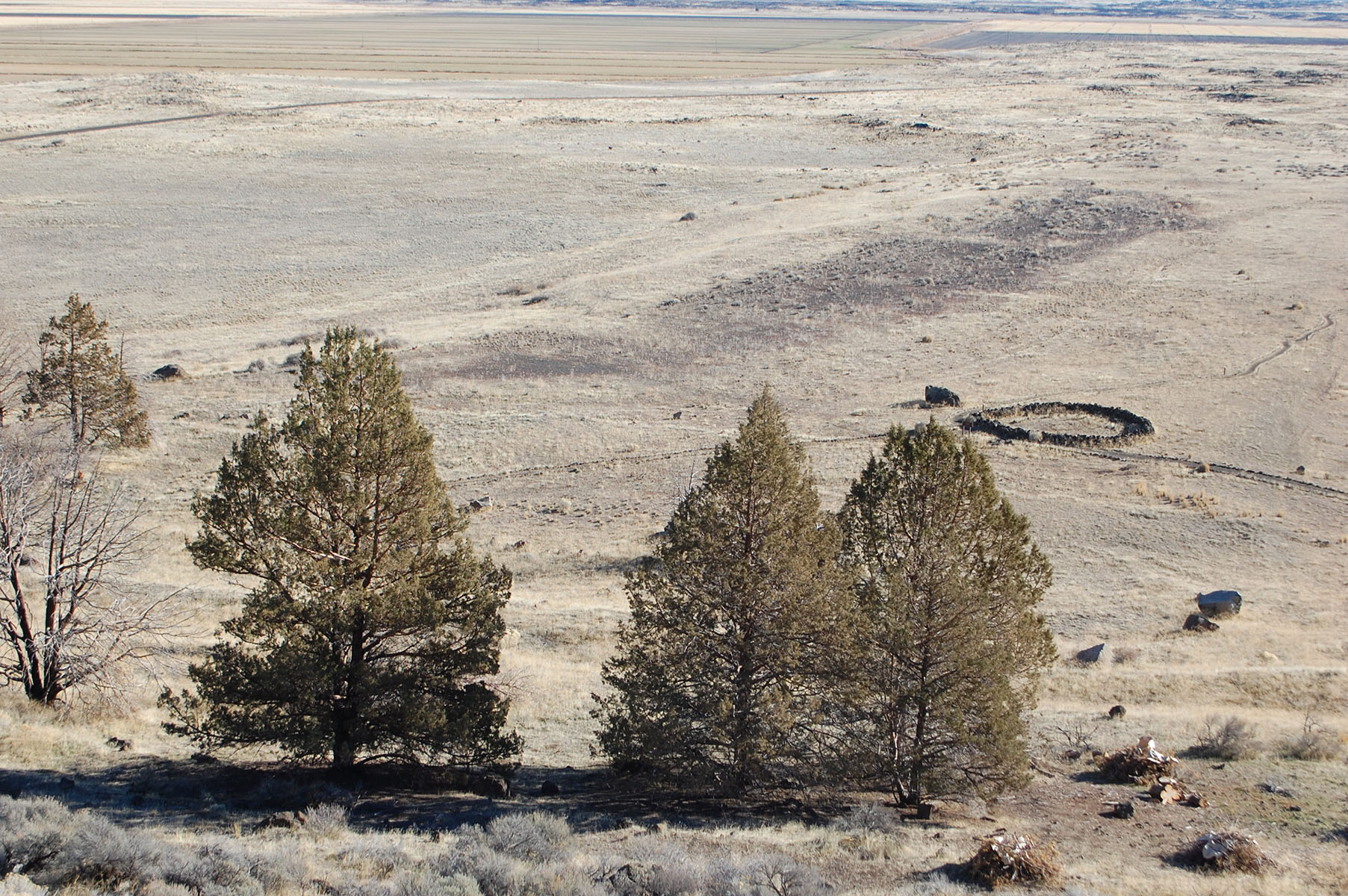
Gillem Bluff Trail Start, Tulelake, Ca
~47 min drive
<p>This trail climbs 550 feet in elevation over 0.7 miles (1.1 km) to the top of Gillem Bluff (Sheepy Ridge), for a view of Gillems Camp and the surrounding landscape.</p> <p>Lava Beds has twelve hiking trails. The most popular trails are short, but lead to interesting histori…
Juanita Lake South
~1 min drive
Moderate 8-mile hike to the south side of scenic Juanita Lake with steady forest climbing.
Juanita Lake Trail
~3 min drive
Easy 1.7-mile loop around a scenic alpine lake in the Modoc Plateau.
Baird Rr Grade Tie
~37 min drive
Easy 3.2-mile walk along a historic railroad grade with minimal elevation gain.
Thomas-Wright Battlefield Trail Start, Tulelake, Ca
~48 min drive
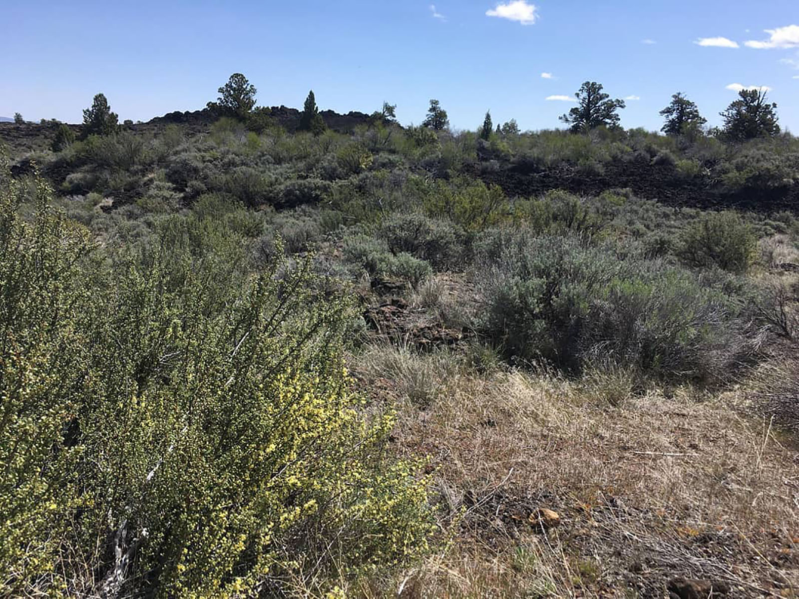
<p>Volcanism and history are featured here. The hike onto Black Crater is less than 0.3 miles (0.5 km) by bearing right. The battlefield is 1.1 miles (1.8km) one way. View fine wildflower displays in season.</p> <p>Lava Beds has twelve hiking trails. The most popular trails ar…
Juanita Lake North
~3 min drive
Moderate 6.4-mile hike to alpine lake with 1,128 ft elevation gain.
Muskgrave Creek
~4 min drive
Steep 1.4-mile creek drainage hike with 1,063 ft elevation gain.
Bolam
~43 min drive
Moderate 4-mile climb gaining 1,260 ft in the Bolam region.
Whitney Butte Trail Start, Tulelake, Ca
~49 min drive
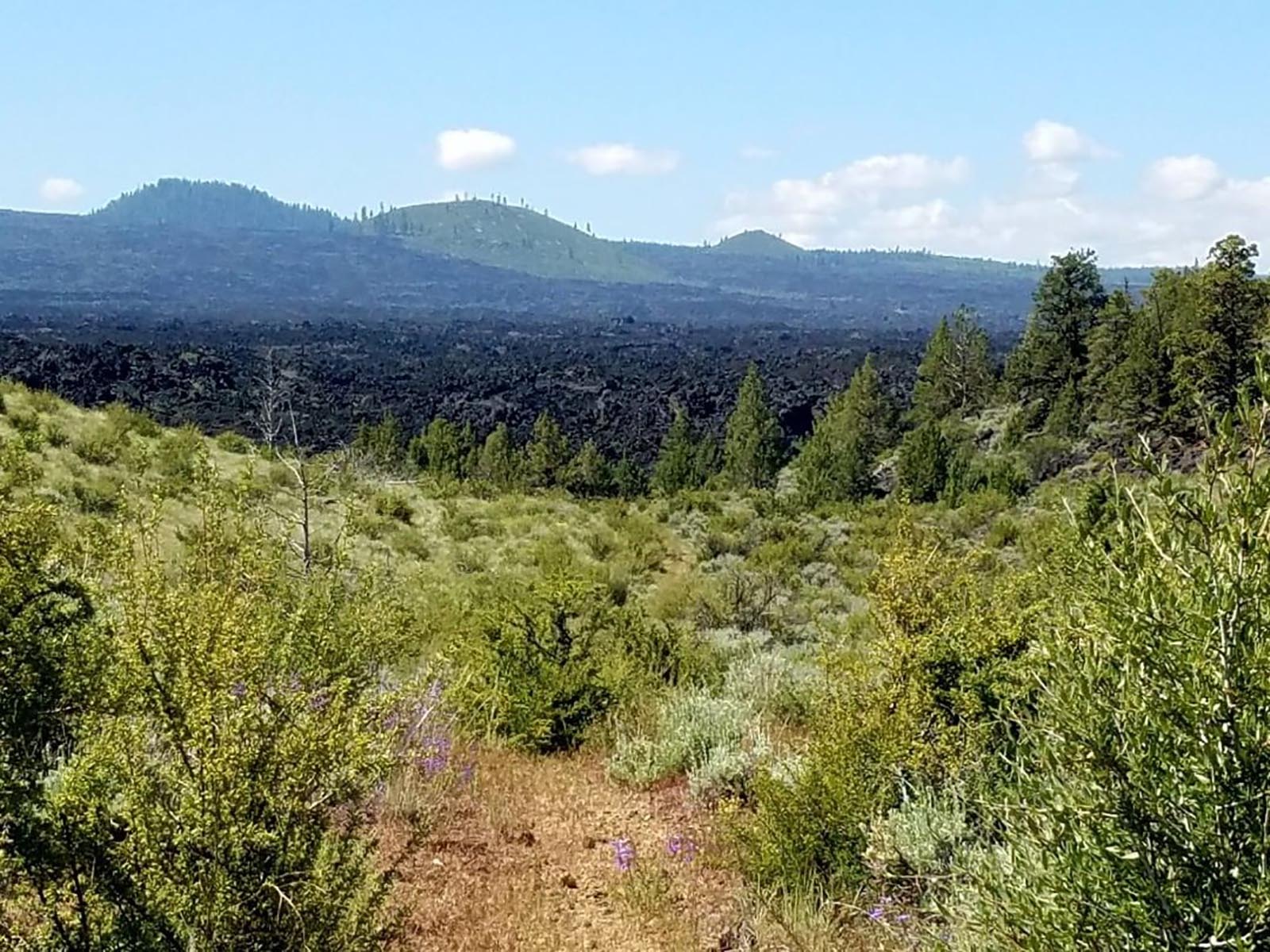
<p>From Merrill Cave parking area to the west boundary of the monument, this trail crosses the wilderness in an east-west direction, curving around Whitney Butte. Enjoy an impressive view of Mount Shasta and the Callahan Lava Flow. This trail is 3.3 miles (5.3 km) one way.<br…
Goosenest Trail
~15 min drive
Moderate 6.3-mile climb with 2,340 ft gain and scenic summit views.