Goosenest Trail
 Photo: theforestprimeval, CC BY-SA 2.0 (via Flickr)
- 0.4 mi
- round trip
- 302 ft
- climb
- 8,264 ft
- high point
- Out and back
- route
Is Goosenest Trail open right now?
Alert in the area
The Forest Service lists 2 alerts for Klamath National Forest.
Temporarily closure of approximately 3.5 miles of National Forest System Roads 47N01
Agency alert covering Klamath National Forest · Order 05-05-00-26-08 · USFS · Klamath National Forest
Grayback Road Repairs
Agency alert covering Klamath National Forest · USFS · Klamath National Forest
As of · Source: USFS · Klamath National Forest. Agencies don't list every closure — check before you go.
Goosenest Trail is a short, easy out-and-back hike in the Goosenest Ranger District of Klamath National Forest in California. The trail is about 0.7 miles long, and the round trip adds up to about 300 feet of elevation gain and loss, with the high point at 8,264 feet and the low at 8,001 feet. The steepest stretch comes early, around 0.18 miles from the start, where the grade reaches about 22 percent. The trail is a quick outing, and the trip is estimated to take about half an hour. The Goosenest (from quarry) Trail lies about 0.3 miles away, making it an easy addition to the day. For an overnight stay, Martins Dairy Campground is about 5.4 miles off, and Juanita Lake Campground is about 8.3 miles away. Burnt Camp Trail and Juanita Lake Trail are both within about 8.5 miles.
Local outfitters
- Crater Lake Zipline and Kayak Tours41 mi away
- Ashland Family YMCA42 mi away
Not on Roamze yet. Their page has how to reach them.
Conditions and forecast on Goosenest
Daily highs and lows, wind and the chance of precipitation at the summit and route start for the next 7 days, from the Open-Meteo model.
- Goosenest (from quarry) TrailHikingPhoto: theforestprimeval, CC BY-SA 2.0 (via Flickr)0.3 mi
- Martins Dairy CgCamping5.4 mi
- Burnt Camp TrailHiking7.8 mi
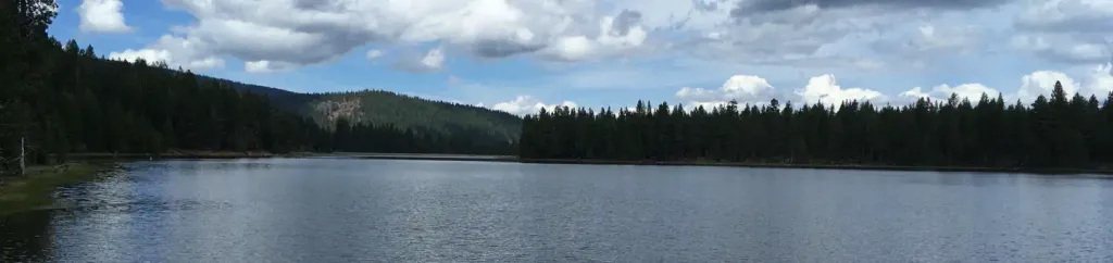 Juanita Lake Group CampsiteCampingPhoto: Recreation.gov (RIDB) / public domain8.3 mi
- Juanita Lake TrailHiking8.4 mi
- MUSKGRAVE CREEKHiking8.5 mi
- DEER MTN SHORT LOOPHiking9.3 mi
- JUANITA LAKE NORTHHiking9.8 mi
Source: Roamze catalog (indexable pages within 10 miles, PostGIS distance)
- Goosenest (from quarry) TrailHiking · Next doorPhoto: theforestprimeval, CC BY-SA 2.0 (via Flickr)
 Black LavaHiking · ~32 min drivePhoto: npdoty, CC BY 2.0 (via Flickr)
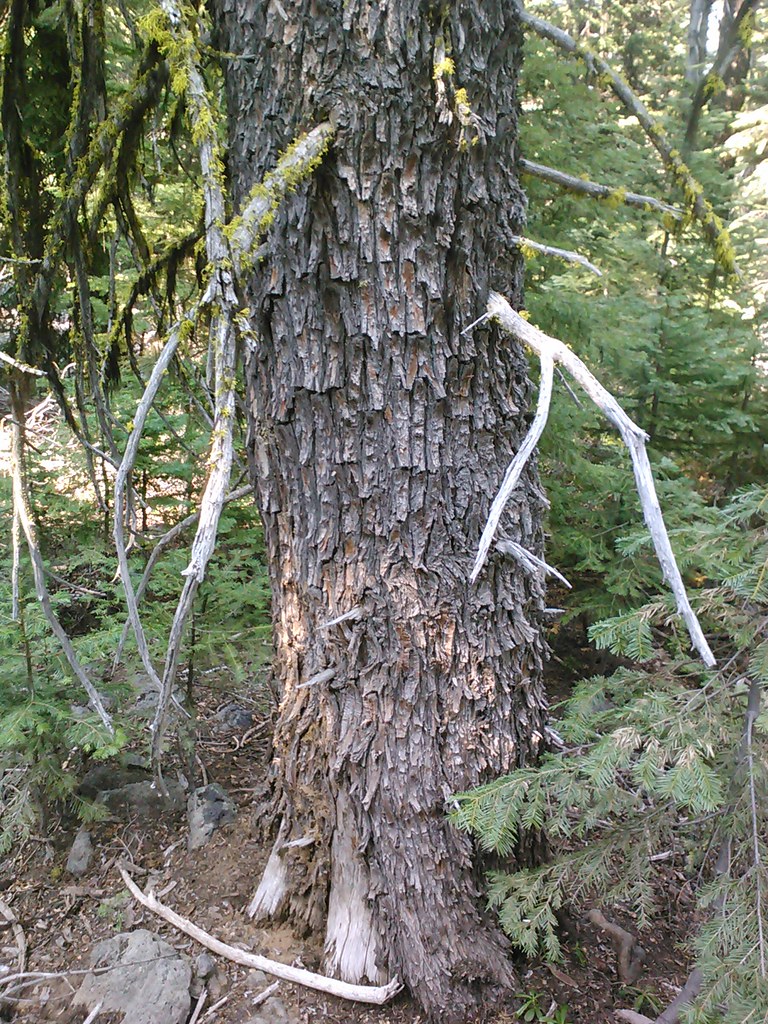 Goosenest TrailHiking · ~3 min drivePhoto: theforestprimeval, CC BY-SA 2.0 (via Flickr)
- Hotlum Bolum RidgeHiking · ~30 min drive
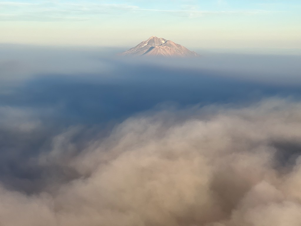 Sidewinder TrailHiking · ~39 min drivePhoto: NOAACSL, CC BY 2.0 (via Flickr)
- Kids TrailHiking · ~38 min drivePhoto: NOAACSL, CC BY 2.0 (via Flickr)
- DEER MTN SHORT LOOPHiking · ~16 min drive
- UPPER ANTELOPE CREEKHiking · ~39 min drive
 Horse Camp Trail (Sisson's Trail) NO DOGSHiking · ~42 min drivePhoto: wikiphotographer, CC BY-SA 2.0 (via Flickr)
- Goat TrailHiking · ~39 min drivePhoto: NOAACSL, CC BY 2.0 (via Flickr)

Route details
- Distance
- 0.4 mi round trip
- Climbing
- About 302 ft
- Summit
- 8,281 ft
- Difficulty
- Easy
- Time
- About 0 hours
Questions about this route
How long is the Goosenest Trail on Goosenest?
About 0.4 mi round trip.
How much elevation gain is on the Goosenest Trail?
About 302 ft of climbing round trip.
How hard is the Goosenest Trail?
It is rated easy.
How long does the Goosenest Trail take?
About 0 hours round trip.
Map and trail data © OpenStreetMap contributors
