Deer Mtn Long Loop
- 13.7 mi
- loop
- 1,027 ft
- climb
- 5,987 ft
- high point
- Loop
- route
- May–Jun, Sep–Oct
- best months
Is DEER MTN LONG LOOP open right now?
Alert in the area
The Forest Service lists 2 alerts for Klamath National Forest.
Temporarily closure of approximately 3.5 miles of National Forest System Roads 47N01
Agency alert covering Klamath National Forest · Order 05-05-00-26-08 · USFS · Klamath National Forest
Grayback Road Repairs
Agency alert covering Klamath National Forest · USFS · Klamath National Forest
As of · Source: USFS · Klamath National Forest. Agencies don't list every closure — check before you go.
DEER MTN LONG LOOP is a 13.72-mile loop trail in California with 1,027 feet of elevation gain and 1,014 feet of elevation loss. The trail reaches a maximum elevation of 5,987 feet.
Local outfitters
- Crater Lake Zipline and Kayak Tours49 mi away
- Yamsi Fly Fishing49 mi away
Not on Roamze yet. Their page has how to reach them.
Best time to go · May–Jun, Sep–Oct
Best time to visit DEER MTN LONG LOOP
Best months: May–June and September–October. Best months have typical highs of 55–85 °F, lows of 30 °F or warmer (32 °F where the station doesn't record snow), at most one snowy day and no more than 12 wet days.
Jan
43° / 23°
10 wet · 6 snow
Feb
46° / 25°
9 wet · 5 snow
Mar
52° / 28°
11 wet · 6 snow
Apr
57° / 31°
10 wet · 4 snow
May
66° / 38°
8 wet · 1 snow
Jun
76° / 44°
6 wet
Jul
86° / 52°
3 wet
Aug
86° / 51°
2 wet
Sep
78° / 45°
3 wet
Oct
66° / 36°
5 wet · 1 snow
Nov
50° / 27°
9 wet · 3 snow
Dec
41° / 22°
9 wet · 5 snow
Typical high / low (°F) and days with rain or snow, 1991–2020. Measured at Lava Beds Nat Mon, CA, 33.9 mi away at 4,770 ft. The station sits about 1,200 ft lower than this place, so expect it a little cooler here. Source: NOAA NCEI U.S. Climate Normals 1991–2020.
Keep exploring — more trails worth the drive
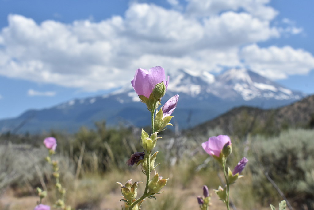 Photo: theforestprimeval, CC BY-SA 2.0 (via Flickr)
Skylight View Trail
~13 min drive
1.58-mile out-and-back hike in California with 137 ft elevation gain
 Photo: theforestprimeval, CC BY-SA 2.0 (via Flickr)
Goosenest (from quarry) Trail
~19 min drive
1.88-mile out-and-back trail in California with 1,245 ft gain/loss.
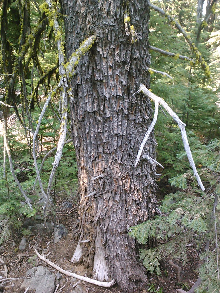 Photo: theforestprimeval, CC BY-SA 2.0 (via Flickr)
Goosenest Trail
~21 min drive
6.28-mile out-and-back trail in California with 2,339 ft elevation gain.
HIKE
Hotlum Bolum Ridge
~13 min drive
11.84-mile out-and-back trail in California with 7,175 ft of elevation gain.
Photo: theforestprimeval, CC BY-SA 2.0 (via Flickr)Goosenest Trail
~19 min drive
0.72-mile out-and-back trail in California with 302 ft of elevation gain.
 Photo: Moo.The.Cow, CC BY 2.0 (via Flickr)
Green Butte
~25 min drive
Green Butte is a 4.13-mile out-and-back trail in California with 1,798 feet of elevation gain.
HIKE
DEER MTN SHORT LOOP
~4 min drive
11.06-mile out-and-back trail in California with 1,652 ft elevation gain and loss.
HIKE
SUPRISE LAKE
~22 min drive
18.28-mile out-and-back trail in California with 2,781 ft elevation gain
 Photo: npdoty, CC BY 2.0 (via Flickr)
Black Lava
~20 min drive
1.42-mile out-and-back trail in California with 157 ft elevation gain.
 Photo: wikiphotographer, CC BY-SA 2.0 (via Flickr)
Horse Camp Trail (Sisson's Trail) NO DOGS
~26 min drive
0.98-mile out-and-back trail in California with 684 ft gain and 7,895 ft max elevation.

