Burnt Camp Trail
- 3.7 mi
- round trip
- 1,605 ft
- climb
- 6,722 ft
- high point
- Out and back
- route
Caution at last check
Agency alerts are in effect for this area; weather is good · USFS, OpenWeather · checked 15 h ago
Is Burnt Camp Trail open right now?
Alert in the area
The Forest Service lists 2 alerts for Klamath National Forest.
Temporarily closure of approximately 3.5 miles of National Forest System Roads 47N01
Agency alert covering Klamath National Forest · Order 05-05-00-26-08 · USFS · Klamath National Forest
Grayback Road Repairs
Agency alert covering Klamath National Forest · USFS · Klamath National Forest
As of · Source: USFS · Klamath National Forest. Agencies don't list every closure — check before you go.
Burnt Camp Trail is a 7.5-mile out-and-back hike in California's Klamath National Forest, on the Goosenest Ranger District. The Forest Service manages the land. The trail starts at about 6,228 feet and climbs steadily to a high point of 6,722 feet, with the steepest stretch at around 0.59 miles from the start, where the grade reaches 15 percent. The total elevation gain is 1,605 feet, and the route is rated moderate. The trip takes about 3.5 hours. The trail is a single route with a steady climb rather than a series of switchbacks or a long, flat stretch, so plan for a full day. Martins Dairy Campground, about 2.4 miles away, is the closest place to camp. Muskgrave Creek and Juanita Lake Trail are both within about 4 miles, and Juanita Lake Group Campsite is about 4.1 miles off.
Local outfitters
- Crater Lake Zipline and Kayak Tours35 mi away
- Yamsi Fly Fishing35 mi away
Not on Roamze yet. Their page has how to reach them.
- Martins Dairy CgCamping2.4 mi
- MUSKGRAVE CREEKHiking3.8 mi
- Juanita Lake TrailHiking3.9 mi
- JUANITA LAKE NORTHHiking4.1 mi
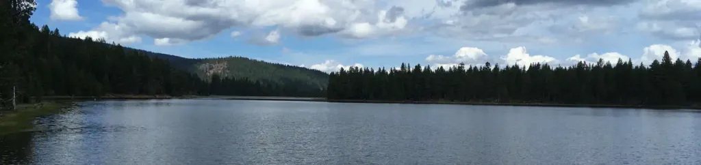 Juanita Lake Group CampsiteCampingPhoto: Recreation.gov (RIDB) / public domain4.1 mi
- LONG LOOPHiking5.8 mi
- JUANITA LAKE SOUTHHiking6 mi
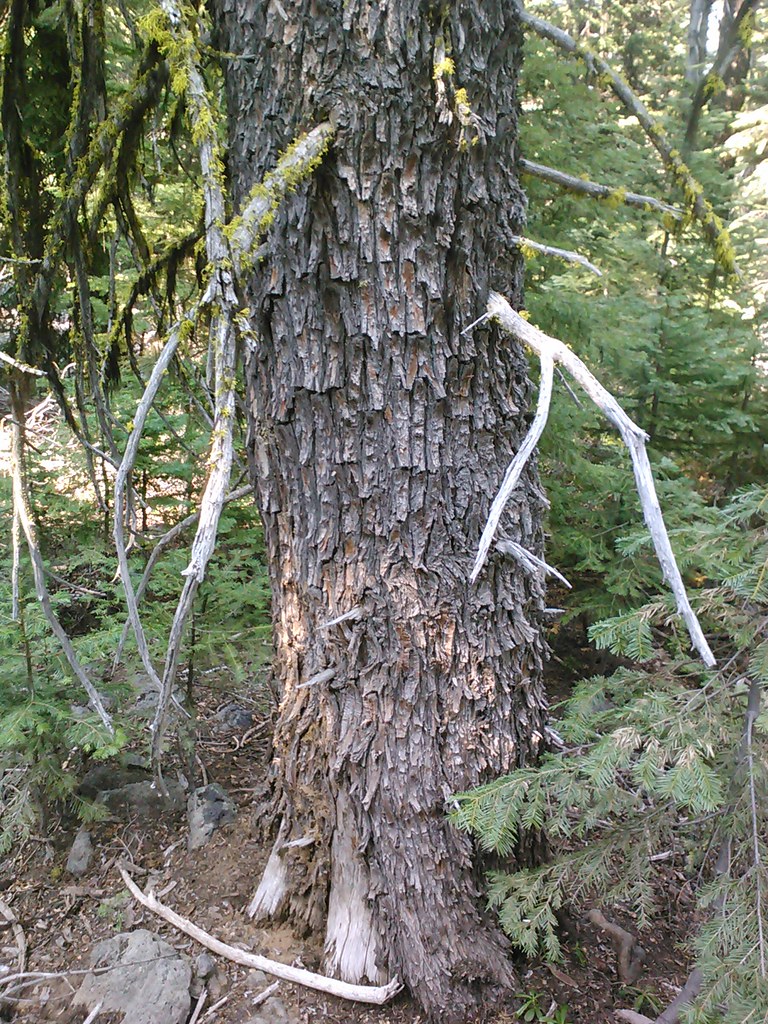 Goosenest TrailHikingPhoto: theforestprimeval, CC BY-SA 2.0 (via Flickr)6.4 mi
Source: Roamze catalog (indexable pages within 10 miles, PostGIS distance)
 Goosenest TrailHiking · ~13 min drivePhoto: theforestprimeval, CC BY-SA 2.0 (via Flickr)
- Goosenest (from quarry) TrailHiking · ~14 min drivePhoto: theforestprimeval, CC BY-SA 2.0 (via Flickr)
 Lone Pilot TrailHiking · ~37 min drivePhoto: BLM Oregon & Washington, CC BY 2.0 (via Wikimedia Commons)
- Goosenest TrailHiking · ~11 min drivePhoto: theforestprimeval, CC BY-SA 2.0 (via Flickr)
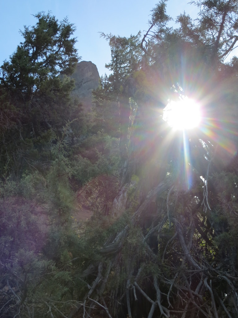 Pilot RockHiking · ~40 min drivePhoto: BLM Oregon & Washington, CC BY-SA 2.0 (via Flickr)
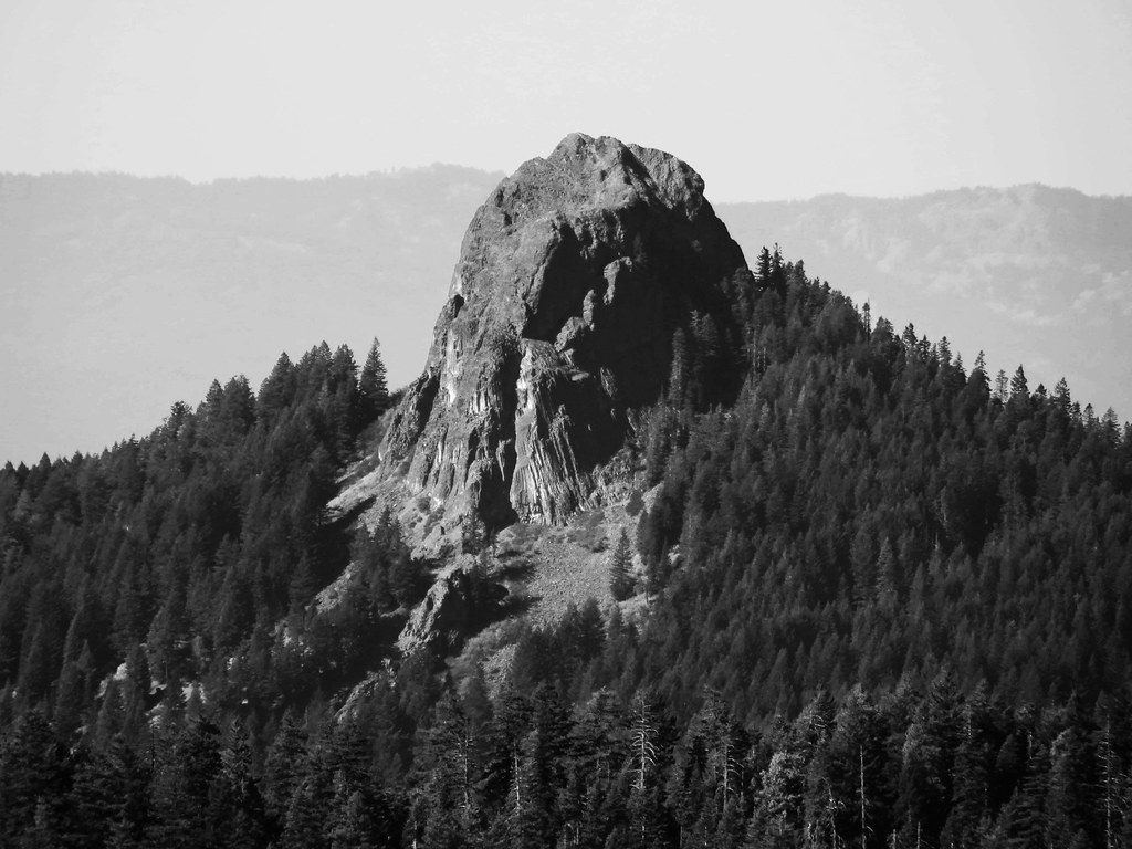 Boccard Point TrailHiking · ~36 min drivePhoto: BLM Oregon & Washington, CC BY-SA 2.0 (via Flickr)
- Pct - Oregon Section BHiking · ~40 min drivePhoto: BLM Oregon & Washington, CC BY-SA 2.0 (via Flickr)
- DEER MTN SHORT LOOPHiking · ~28 min drive
 Lower Klamath Photo Blind TrailHiking · ~42 min drivePhoto: Sheila Sund from Salem, United States, CC BY 2.0 (via Wikimedia Commons)
 Sidewinder TrailHiking · ~44 min drivePhoto: NOAACSL, CC BY 2.0 (via Flickr)

Map and trail data © OpenStreetMap contributors
