Isabel Creek Trail
- 8.0 mi
- round trip
- 1,326 ft
- climb
- 2,510 ft
- high point
- Out and back
- route
Isabel Creek Trail is a hard hike in California, about 6 miles from the town of Ashrama. The route is an out-and-back that covers roughly 16 miles, with a total climb of about 1,300 feet. The trail starts at an elevation of about 2,226 feet and reaches a high point of about 2,510 feet, with the steepest stretch coming around the 6-mile mark, where the grade reaches about 33 percent. The trip takes about six hours, and the trail is rated hard. Plan for a long day on foot, with the middle of the route the most challenging part. Several other hikes lie within a short drive. Mule Trail is about 2.7 miles away, Manzanita Trail about 5 miles, and Bonhoff Trail and Canada de Pala Trail both about 6 miles.
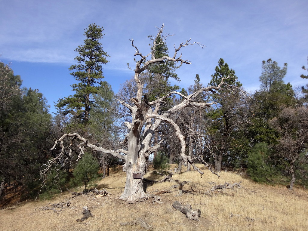 Mule TrailHikingPhoto: dret, CC BY-SA 2.0 (via Flickr)2.7 mi
- Manzanita TrailHiking5.1 mi
- Bonhoff TrailHiking5.6 mi
 Canada de Pala TrailHikingPhoto: denipet, CC BY 2.0 (via Flickr)6.1 mi
- Foothill TrailHiking6.1 mi
- Halls Valley TrailHiking6.7 mi
- Lower Hotel TrailHiking7.1 mi
 Brush TrailHikingPhoto: regexman, CC BY 2.0 (via Flickr)7.3 mi
Source: Roamze catalog (indexable pages within 10 miles, PostGIS distance)
- Mule TrailHiking · ~5 min drivePhoto: dret, CC BY-SA 2.0 (via Flickr)
 Isabel Creek TrailHiking · ~6 min drivePhoto: milesgehm, CC BY 2.0 (via Flickr)
- Canada de Pala TrailHiking · ~10 min drivePhoto: denipet, CC BY 2.0 (via Flickr)
- Dutch Flat TrailHiking · ~13 min drivePhoto: regexman, CC BY 2.0 (via Flickr)
 Canada de Pala TrailHiking · ~13 min drivePhoto: edwardrooksSJ, CC BY-SA 2.0 (via Flickr)
 Loop TrailHiking · ~12 min drivePhoto: Ashwin Kumar, CC BY-SA 2.0 (via Flickr)
- Brush TrailHiking · ~13 min drivePhoto: regexman, CC BY 2.0 (via Flickr)
- San Felipe TrailHiking · ~13 min drivePhoto: regexman, CC BY 2.0 (via Flickr)
- Manzanita TrailHiking · ~9 min drive
- Bass Lake TrailHiking · ~13 min drivePhoto: Ashwin Kumar, CC BY-SA 2.0 (via Flickr)
Also worth it near here
 Copernicus PeakSummit · ~5 min drivePhoto: Thomson200, CC0 (via Wikimedia Commons)
- Equestrian CampgroundCamping · ~14 min drive
 Coyote CreekCanoeing · ~18 min drivePhoto: Dicklyon, CC BY-SA 4.0 (via Wikimedia Commons)
 Lower Calaveras Fault TrailMountain biking · ~21 min drivePhoto: Douglass Clem, CC BY-SA 3.0 (via Wikimedia Commons)
Map and trail data © OpenStreetMap contributors
