Copernicus Peak
 Photo: Thomson200, CC0 (via Wikimedia Commons)
- 4,381 ft
- summit
- May–Nov
- best months
Copernicus Peak is a summit of 4,381 feet in California's Santa Clara Unit, about 10 miles from the community of East Foothills. The peak sits at a high point in this part of the state, and its elevation makes it a natural anchor for a day of hiking in the surrounding trails. Summer is the most comfortable time to go. Typical averages from the nearby Mt Hamilton weather station, at a similar elevation, show July and August highs around 79°F with almost no wet days, while winter brings highs near 50°F and a handful of snow days each month from December through March. The Mule Trail starts just 0.6 miles away, and the Isabel Creek Trail and Bonhoff Trail are both within about 3 miles. For paddling, Arroyo Hondo is roughly 8 miles off.
Conditions and forecast
Daily highs and lows, wind and the chance of precipitation at the summit for the next 7 days, from the Open-Meteo model.
- Summit elevation
- 4,381 ft
Elevation from USGS 3D Elevation Program terrain data (about 10 m resolution).
We don't know of a mapped trail or route to the summit of Copernicus Peak. Plan the approach with local maps, a guidebook or a local guide, and check conditions before you go.
Questions about Copernicus Peak
How tall is Copernicus Peak?
4,381 ft (1,335 m).
Is there a trail to the top of Copernicus Peak?
We don't know of a mapped trail or route to the summit. Plan the approach with local maps, a guidebook or a local guide.
- Pyramid Rock4,026 ft · California1 route3.4 mi away
 Mount Stakes3,807 ft · California1 route12 mi awayPhoto: Thomson200, CC0 (via Wikimedia Commons)
- Coyote Peak1,154 ft · California2 routes12 mi away
- Vista Grande1,867 ft · California1 route16 mi away
 Monument Peak2,596 ft · California1 route16 mi awayPhoto: Public domain (via Wikimedia Commons)
- Bald Peaks1,835 ft · California1 route16 mi away
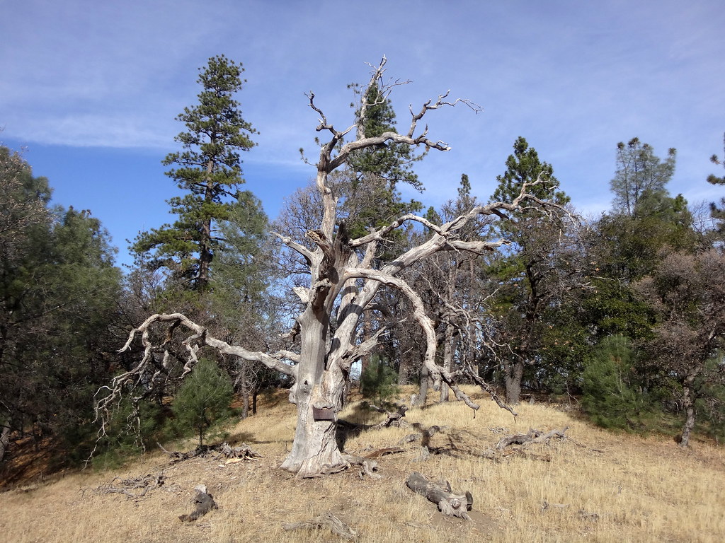 Mule TrailHikingPhoto: dret, CC BY-SA 2.0 (via Flickr)0.6 mi
 Isabel Creek TrailHikingPhoto: milesgehm, CC BY 2.0 (via Flickr)2.4 mi
- Bonhoff TrailHiking2.9 mi
- Manzanita TrailHiking2.9 mi
 Canada de Pala TrailHikingPhoto: denipet, CC BY 2.0 (via Flickr)3.2 mi
- Halls Valley TrailHiking3.5 mi
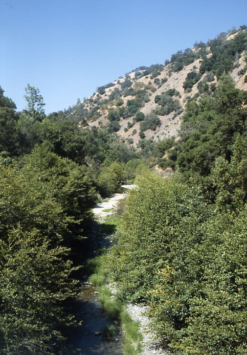 Arroyo HondoCanoeingPhoto: Robert A. Leidy PhD, US EPA, Public domain (via Wikimedia Commons)7.8 mi
 Coyote CreekCanoeingPhoto: Dicklyon, CC BY-SA 4.0 (via Wikimedia Commons)8.9 mi
Source: Roamze catalog (indexable pages within 10 miles, PostGIS distance)
 Mount HamiltonSummit · ~1 min drivePhoto: No machine-readable author provided. Elf assumed (based on copyright claims)., CC BY-SA 3.0 (via Wikimedia Commons)
 Black MountainSummit · ~13 min drivePhoto: Thomson200, CC0 (via Wikimedia Commons)
 Mount SizerSummit · ~19 min drivePhoto: Gregariousworldswine at English Wikipedia, Public domain (via Wikimedia Commons)
 Tulare HillSummit · ~19 min drivePhoto: Wahn, CC BY-SA 3.0 (via Wikimedia Commons)
- Mount StakesSummit · ~21 min drivePhoto: Thomson200, CC0 (via Wikimedia Commons)
 El ToroSummit · ~27 min drivePhoto: Eugene Zelenko, CC BY-SA 4.0 (via Wikimedia Commons)
- Monument PeakSummit · ~28 min drivePhoto: Public domain (via Wikimedia Commons)
 Mount AllisonSummit · ~29 min drivePhoto: Oleg Alexandrov, CC BY-SA 3.0 (via Wikimedia Commons)
 Mission PeakSummit · ~31 min drivePhoto: ca2mi, CC BY-SA 4.0 (via Wikimedia Commons)
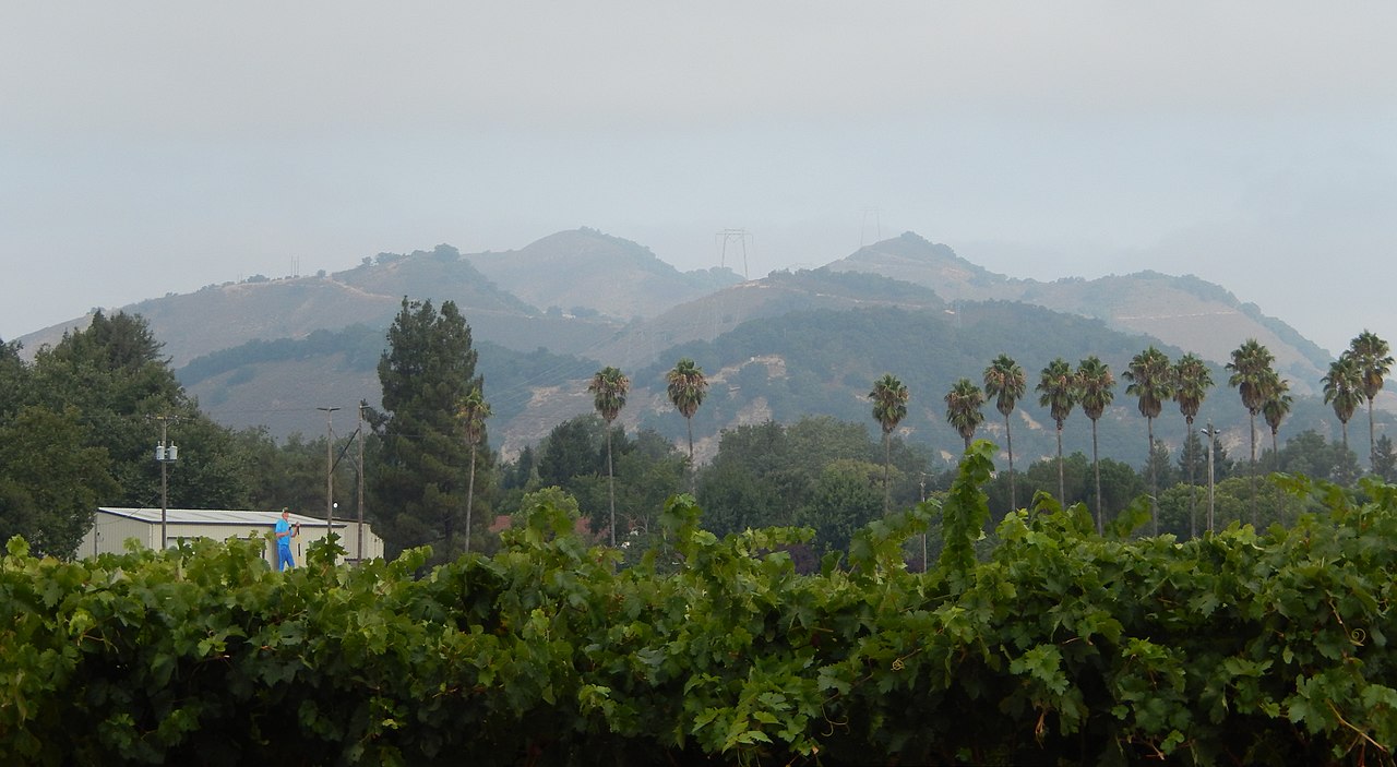 Twin PeaksSummit · ~32 min drivePhoto: Wahn, CC BY-SA 4.0 (via Wikimedia Commons)
Also worth it near here
- Mule TrailHiking · Next doorPhoto: dret, CC BY-SA 2.0 (via Flickr)
- Equestrian CampgroundCamping · ~8 min drive
- Arroyo HondoCanoeing · ~13 min drivePhoto: Robert A. Leidy PhD, US EPA, Public domain (via Wikimedia Commons)
 Lower Calaveras Fault TrailMountain biking · ~15 min drivePhoto: Douglass Clem, CC BY-SA 3.0 (via Wikimedia Commons)
Best time to visit Copernicus Peak
Best months: May–November. Best months have typical highs of 55–85 °F, lows of 30 °F or warmer (32 °F where the station doesn't record snow), at most one snowy day and no more than 12 wet days.
Jan
50° / 39°
12 wet · 2 snow
Feb
49° / 38°
12 wet · 2 snow
Mar
51° / 39°
11 wet · 3 snow
Apr
55° / 41°
8 wet · 2 snow
May
62° / 47°
5 wet
Jun
71° / 56°
2 wet
Jul
79° / 65°
0 wet
Aug
79° / 65°
1 wet
Sep
74° / 60°
2 wet
Oct
66° / 52°
4 wet
Nov
55° / 43°
9 wet
Dec
49° / 38°
12 wet · 2 snow
Typical high / low (°F) and days with rain or snow, 1991–2020. Measured at Mt Hamilton, CA, 0.7 mi away at 4,206 ft. Source: NOAA NCEI U.S. Climate Normals 1991–2020.
