Coyote Creek
 Photo: Dicklyon, CC BY-SA 4.0 (via Wikimedia Commons)
- 43.7 mi
- distance
- 1,177 ft
- high point
- Jan–Dec
- best months
Coyote Creek is a 44-mile paddling stretch near San Jose, California, set within Coyote Ridge (East) on land managed jointly. The nearest town is Coyote, about 2 miles away. The creek is intermittent and may run dry in some seasons, so conditions can change from one trip to the next. USGS models an average flow of about 110 cubic feet per second and a gradient of about 23.2 feet per mile. Spring and fall are the most comfortable times to paddle. Typical averages from a nearby weather station in Los Gatos show May highs around 75°F and October highs around 76°F, with winter highs in the upper 50s. Several short hikes sit close by, including Gruesome Gary Trail about a mile away and Serpentine Spring Trail and Bay Checkerspot Trail within 2 miles. Climbers can find Lower Guadalupe Rock about 10 miles off.
Local outfitters
- Pacific Ocean Water Sports17 mi away
- Aqua Safaris Scuba Center23 mi away
Not on Roamze yet. Their page has how to reach them.
- Gruesome Gary TrailHiking0.9 mi
- Serpentine Spring TrailHiking1.5 mi
- Bay Checkerspot TrailHiking1.6 mi
 Tule Elk TrailHikingPhoto: Pacific Southwest Region USFWS from Sacramento, US, Public domain (via Wikimedia Commons)2.1 mi
- Ohlone TrailHiking3.7 mi
- Lower Guadalupe RockRock climbing9.6 mi
- Hicks RoadRock climbing9.6 mi
- Roadside RockRock climbing9.6 mi
Source: Roamze catalog (indexable pages within 10 miles, PostGIS distance)
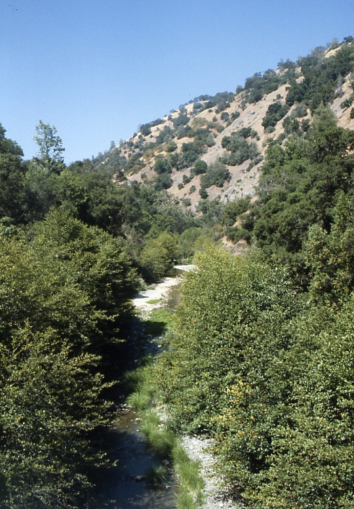 Arroyo HondoCanoeing · ~23 min drivePhoto: Robert A. Leidy PhD, US EPA, Public domain (via Wikimedia Commons)
- Del Valle Boat RampBoat launch · ~42 min drive
 Uvas CreekCanoeing · ~24 min drivePhoto: Uvaseastman, CC BY-SA 4.0 (via Wikimedia Commons)
- Public Boat Launch RampBoat launch · ~57 min drive
 Arroyo ValleCanoeing · ~36 min drivePhoto: Michael C. Berch, CC BY-SA 3.0 (via Wikimedia Commons)
- Kite launch 3rd Ave LowerBoat launch · ~1h 7m drive
 Alameda CreekCanoeing · ~37 min drivePhoto: Pi.1415926535, CC BY-SA 4.0 (via Wikimedia Commons)
- Kite Launch 3rd Ave UpperBoat launch · ~1h 8m drive
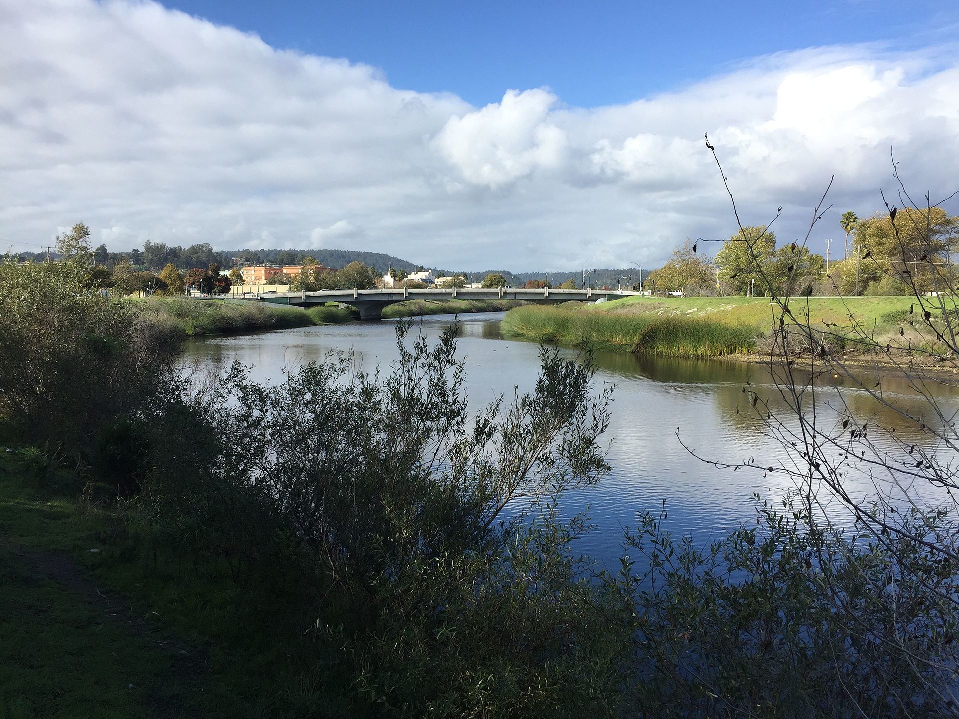 San Lorenzo RiverCanoeing · ~40 min drivePhoto: Chevy111, CC BY-SA 4.0 (via Wikimedia Commons)
- San Leandro Marina SlipBoat launch · ~1h 11m drive
Also worth it near here
Best time to visit Coyote Creek
Best months: Year-round. Best months have typical highs of 55–85 °F, lows of 30 °F or warmer (32 °F where the station doesn't record snow), at most one snowy day and no more than 12 wet days.
Jan
58° / 40°
Feb
62° / 41°
Mar
66° / 43°
Apr
70° / 45°
May
75° / 49°
Jun
82° / 52°
Jul
85° / 56°
Aug
85° / 56°
Sep
83° / 54°
Oct
76° / 49°
Nov
65° / 43°
Dec
58° / 40°
Typical high / low (°F) and days with rain or snow, 1991–2020. Measured at Los Gatos, CA, 13.8 mi away at 365 ft. The station sits about 800 ft lower than this place, so expect it a little cooler here. Source: NOAA NCEI U.S. Climate Normals 1991–2020.

