Isabel Creek Trail
 Photo: milesgehm, CC BY 2.0 (via Flickr)
- 2.4 mi
- round trip
- 892 ft
- climb
- 2,457 ft
- high point
- Out and back
- route
Clear at last check
Weather is good · OpenWeather · checked 21 h ago
Isabel Creek Trail is an easy out-and-back hike in California, about 9 miles from the town of Ashrama. The trail is roughly 4.8 miles long, and the round trip climbs about 892 feet, with the high point at 2,457 feet and the low at 2,153 feet. The steepest stretch comes right at the start, with a 15% grade, so plan on that as you head out. The trip takes about two hours, and the trail is rated easy, so it works well as a short outing. The nearest neighbors are the Mule Trail, about 2 miles away, and the Halls Valley Trail, Canada de Pala Trail and Pala Seca Trail, all within about 5 miles.
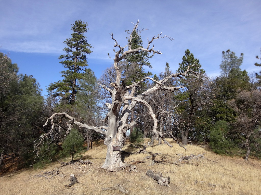 Mule TrailHikingPhoto: dret, CC BY-SA 2.0 (via Flickr)2 mi
- Halls Valley TrailHiking4.7 mi
 Canada de Pala TrailHikingPhoto: edwardrooksSJ, CC BY-SA 2.0 (via Flickr)4.9 mi
- Pala Seca TrailHikingPhoto: edwardrooksSJ, CC BY-SA 2.0 (via Flickr)4.9 mi
- Bonhoff TrailHiking5.2 mi
- Tamien TrailHiking5.3 mi
- Manzanita TrailHiking5.3 mi
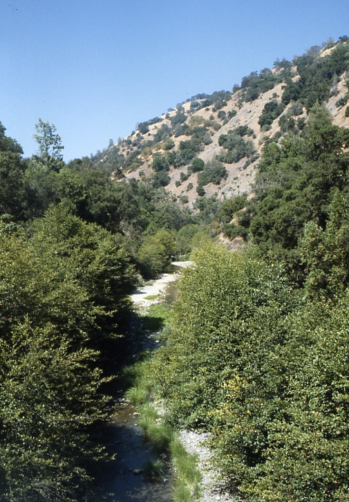 Arroyo HondoCanoeingPhoto: Robert A. Leidy PhD, US EPA, Public domain (via Wikimedia Commons)7.3 mi
Source: Roamze catalog (indexable pages within 10 miles, PostGIS distance)
- Mule TrailHiking · ~3 min drivePhoto: dret, CC BY-SA 2.0 (via Flickr)
- Pala Seca TrailHiking · ~8 min drivePhoto: edwardrooksSJ, CC BY-SA 2.0 (via Flickr)
 Canada de Pala TrailHiking · ~9 min drivePhoto: denipet, CC BY 2.0 (via Flickr)
 San Felipe TrailHiking · ~12 min drivePhoto: regexman, CC BY 2.0 (via Flickr)
- Canada de Pala TrailHiking · ~8 min drivePhoto: edwardrooksSJ, CC BY-SA 2.0 (via Flickr)
 Loop TrailHiking · ~10 min drivePhoto: Ashwin Kumar, CC BY-SA 2.0 (via Flickr)
 Los Huecos TrailHiking · ~10 min drivePhoto: btwashburn, CC BY 2.0 (via Flickr)
- Dutch Flat TrailHiking · ~12 min drivePhoto: regexman, CC BY 2.0 (via Flickr)
- Manzanita TrailHiking · ~9 min drive
- McCreery Lake TrailHiking · ~10 min drivePhoto: btwashburn, CC BY 2.0 (via Flickr)
Also worth it near here
 Copernicus PeakSummit · ~4 min drivePhoto: Thomson200, CC0 (via Wikimedia Commons)
- Equestrian CampgroundCamping · ~11 min drive
- Arroyo HondoCanoeing · ~12 min drivePhoto: Robert A. Leidy PhD, US EPA, Public domain (via Wikimedia Commons)
 Lower Calaveras Fault TrailMountain biking · ~16 min drivePhoto: Douglass Clem, CC BY-SA 3.0 (via Wikimedia Commons)
Map and trail data © OpenStreetMap contributors
