Foothill Trail
- 1.1 mi
- round trip
- 518 ft
- climb
- 2,272 ft
- high point
- Out and back
- route
Foothill Trail is a short, easy hike in Joseph D. Grant Park, a county park in California, on land managed by the county. The trail is about 2 miles long and is an out-and-back route, with the high point at 2,272 feet and the low point at 2,034 feet. The climb is gentle, with a total elevation gain of about 518 feet for the round trip, and the steepest stretch comes at about 0.58 miles in, with a grade of about 10 percent. The trail starts at an elevation of about 2,102 feet, and the whole trip takes about an hour. It pairs easily with other short hikes in the area. Bonhoff Trail is less than a mile away, and Manzanita Trail and San Felipe Trail are each about a mile off. For time on the water, Coyote Creek is roughly 5 miles away.
- Bonhoff TrailHiking0.9 mi
- Manzanita TrailHiking1 mi
 San Felipe TrailHikingPhoto: regexman, CC BY 2.0 (via Flickr)1.2 mi
- Dutch Flat TrailHikingPhoto: regexman, CC BY 2.0 (via Flickr)1.2 mi
 Canada de Pala TrailHikingPhoto: denipet, CC BY 2.0 (via Flickr)1.4 mi
- Brush TrailHikingPhoto: regexman, CC BY 2.0 (via Flickr)1.5 mi
 Coyote CreekCanoeingPhoto: Dicklyon, CC BY-SA 4.0 (via Wikimedia Commons)5.4 mi
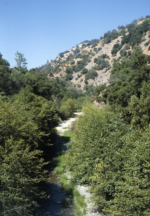 Arroyo HondoCanoeingPhoto: Robert A. Leidy PhD, US EPA, Public domain (via Wikimedia Commons)8.7 mi
Source: Roamze catalog (indexable pages within 10 miles, PostGIS distance)
- Dutch Flat TrailHiking · ~2 min drivePhoto: regexman, CC BY 2.0 (via Flickr)
- Canada de Pala TrailHiking · ~2 min drivePhoto: denipet, CC BY 2.0 (via Flickr)
 Loop TrailHiking · ~4 min drivePhoto: Ashwin Kumar, CC BY-SA 2.0 (via Flickr)
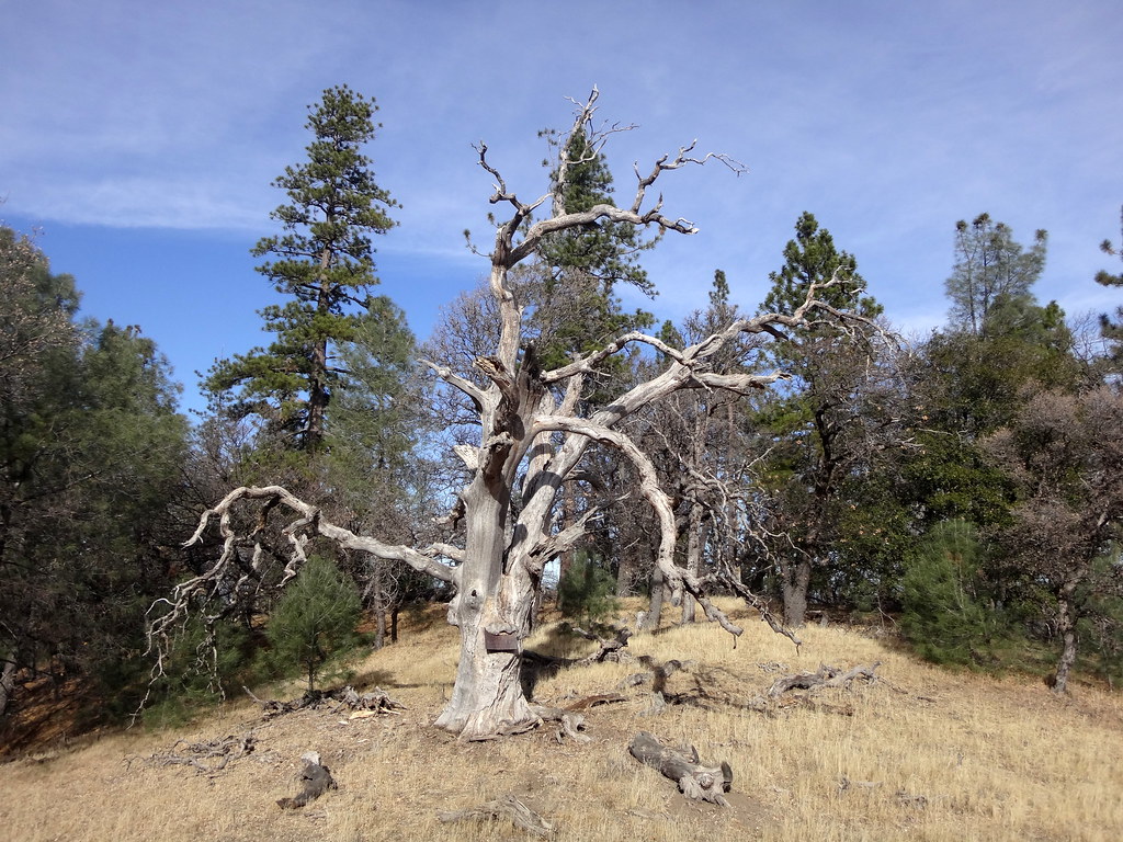 Mule TrailHiking · ~7 min drivePhoto: dret, CC BY-SA 2.0 (via Flickr)
- San Felipe TrailHiking · ~2 min drivePhoto: regexman, CC BY 2.0 (via Flickr)
- Brush TrailHiking · ~3 min drivePhoto: regexman, CC BY 2.0 (via Flickr)
- Bass Lake TrailHiking · ~4 min drivePhoto: Ashwin Kumar, CC BY-SA 2.0 (via Flickr)
- Manzanita TrailHiking · ~2 min drive
- Hotel TrailHiking · ~5 min drive
 Los Huecos TrailHiking · ~6 min drivePhoto: btwashburn, CC BY 2.0 (via Flickr)
Also worth it near here

Map and trail data © OpenStreetMap contributors
