San Felipe Trail
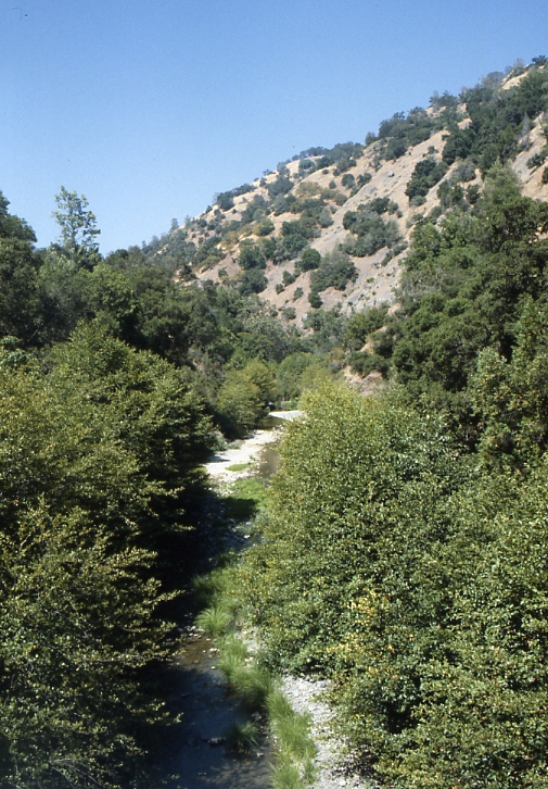
 Photo: regexman, CC BY 2.0 (via Flickr)
- 6.8 mi
- round trip
- 2,894 ft
- climb
- 2,197 ft
- high point
- Out and back
- route
San Felipe Trail is a hard hike in Joseph D. Grant Park, on county land in California. The route is an out-and-back of about 13.7 miles, with a total climb of about 2,894 feet. The trail starts at roughly 1,727 feet and reaches a high point of about 2,197 feet. The climb is steady, and the steepest stretch comes at about 4.5 miles in, where the grade reaches about 19%. The trail is rated hard, and the one-way elevation gain is about 1,165 feet. That makes it a significant commitment, so plan for a full day on foot. The Dutch Flat Trail starts just 0.1 mile away, and the Brush Trail and Upper Meadow Trail are both within about a mile. For paddling, Coyote Creek is about 4.9 miles off.
- Dutch Flat TrailHikingPhoto: regexman, CC BY 2.0 (via Flickr)0.1 mi
- Brush TrailHikingPhoto: regexman, CC BY 2.0 (via Flickr)0.9 mi
- Upper Meadow TrailHiking1 mi
- Meadow TrailHiking1.1 mi
- Corral TrailHiking1.1 mi
- Eagle TrailHiking1.1 mi
 Coyote CreekCanoeingPhoto: Dicklyon, CC BY-SA 4.0 (via Wikimedia Commons)4.9 mi
 Arroyo HondoCanoeingPhoto: Robert A. Leidy PhD, US EPA, Public domain (via Wikimedia Commons)8.7 mi
Source: Roamze catalog (indexable pages within 10 miles, PostGIS distance)
- Brush TrailHiking · ~1 min drivePhoto: regexman, CC BY 2.0 (via Flickr)
 Bass Lake TrailHiking · ~3 min drivePhoto: Ashwin Kumar, CC BY-SA 2.0 (via Flickr)
- Manzanita TrailHiking · ~4 min drive
- Hotel TrailHiking · ~5 min drive
 Canada de Pala TrailHiking · ~3 min drivePhoto: denipet, CC BY 2.0 (via Flickr)
- Barn TrailHiking · ~3 min drivePhoto: Ashwin Kumar, CC BY-SA 2.0 (via Flickr)
- Washburn TrailHiking · ~6 min drive
- Yerba Buena TrailHiking · ~5 min drive
 Los Huecos TrailHiking · ~5 min drivePhoto: btwashburn, CC BY 2.0 (via Flickr)
- Loop TrailHiking · ~3 min drivePhoto: Ashwin Kumar, CC BY-SA 2.0 (via Flickr)
Also worth it near here

Map and trail data © OpenStreetMap contributors
