Houston Creek
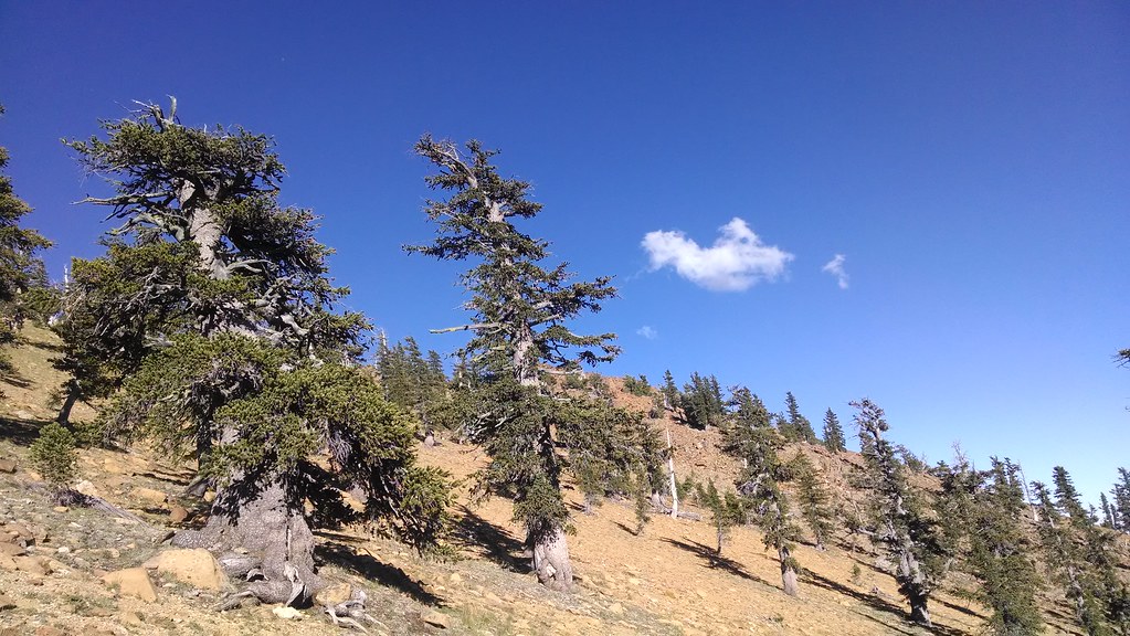
 Photo: theforestprimeval, CC BY-SA 2.0 (via Flickr)
- 3.2 mi
- round trip
- 1,578 ft
- climb
- 7,982 ft
- high point
- Out and back
- route
Is Houston Creek open right now?
Alert in the area
The Forest Service lists 2 alerts for Klamath National Forest.
Temporarily closure of approximately 3.5 miles of National Forest System Roads 47N01
Agency alert covering Klamath National Forest · Order 05-05-00-26-08 · USFS · Klamath National Forest
Grayback Road Repairs
Agency alert covering Klamath National Forest · USFS · Klamath National Forest
As of · Source: USFS · Klamath National Forest. Agencies don't list every closure — check before you go.
Houston Creek is a 3.2-mile out-and-back hike in the Scott River Ranger District of Klamath National Forest in northern California. The trail is rated moderate, with a one-way climb of about 1,578 feet from a low point of 6,386 feet to a high of 7,982 feet. The route is natural-surfaced, and the whole trip is covered by the single climb. The most comfortable time to go is typically late spring through early fall. A nearby weather station records typical averages of about 60°F in June and 70°F in September, with July and August in the low to mid 70s. High Camp and the High Camp Pass Trail both lie within about 1.7 miles. Kangaroo campground is about 3.4 miles away, and the Plasma Wall climbing area is about 5 miles off.
- High CampHiking1.6 mi
- High Camp Pass TrailHiking1.7 mi
- KangarooCamping3.4 mi
- Plasma WallRock climbing5 mi
- The RoomRock climbing5 mi
- East Fork Scott RiverCanoeing6.1 mi
- Toad Lake CgCamping8.1 mi
- Trinity RiverCanoeing9 mi
Source: Roamze catalog (indexable pages within 10 miles, PostGIS distance)
 Kangaroo LakeHiking · ~6 min drivePhoto: Curt Kline, CC BY 3.0 (via Wikimedia Commons)
- Fen Nature Trail (Sisson)Hiking · ~6 min drivePhoto: Curt Kline, CC BY 3.0 (via Wikimedia Commons)
 Pacific Crest TrailHiking · ~6 min drivePhoto: theforestprimeval, CC BY-SA 2.0 (via Flickr)
 Toad LakeHiking · ~14 min drivePhoto: theforestprimeval, CC BY-SA 2.0 (via Flickr)
 Eddy CreekHiking · ~6 min drivePhoto: theforestprimeval, CC BY-SA 2.0 (via Flickr)
- High CampHiking · ~3 min drive
- Pacific Crest National Scenic Trail #2000Hiking · ~9 min drivePhoto: Curt Kline, CC BY 3.0 (via Wikimedia Commons)
- Sisson Callahan TrailHiking · ~7 min drive
- Sisson Callahan TrailHiking · ~13 min drivePhoto: theforestprimeval, CC BY-SA 2.0 (via Flickr)
- Caldwell LakesHiking · ~5 min drive
