High Camp
- 2.4 mi
- round trip
- 1,213 ft
- climb
- 7,390 ft
- high point
- Out and back
- route
Is High Camp open right now?
Alert in the area
The Forest Service lists 2 alerts for Klamath National Forest.
Temporarily closure of approximately 3.5 miles of National Forest System Roads 47N01
Agency alert covering Klamath National Forest · Order 05-05-00-26-08 · USFS · Klamath National Forest
Grayback Road Repairs
Agency alert covering Klamath National Forest · USFS · Klamath National Forest
As of · Source: USFS · Klamath National Forest. Agencies don't list every closure — check before you go.
High Camp is a 2.4-mile out-and-back hike in the Scott River Ranger District of Klamath National Forest in northern California, managed by the Forest Service. The trail rises from about 6,138 feet to a high point of 7,390 feet, with a total elevation gain of 1,213 feet. It is a moderate route on natural surface, and the trailhead sits within the national forest's Scott River Ranger District. The climb is a steady one, with the high point reached about halfway through the round trip. The route makes a good base for exploring the surrounding area, and the High Camp Pass Trail lies just 0.3 miles away, with the High Camp Pass Trail STNF 6W03 about 0.6 miles off. Kangaroo campground is about 2.8 miles away, and the Plasma Wall climbing area is roughly 5.5 miles out. Paddlers can reach the East Fork Scott River, about 6.4 miles away, and Toad Lake Campground is about 6.7 miles from the trail.
- High Camp Pass TrailHiking0.3 mi
- High Camp Pass Trail STNF 6W03Hiking0.6 mi
- KangarooCamping2.8 mi
- Plasma WallRock climbing5.5 mi
- The RoomRock climbing5.5 mi
- East Fork Scott RiverCanoeing6.4 mi
- Toad Lake CgCamping6.7 mi
- Trinity RiverCanoeing7.6 mi
Source: Roamze catalog (indexable pages within 10 miles, PostGIS distance)
 Houston CreekHiking · ~3 min drivePhoto: theforestprimeval, CC BY-SA 2.0 (via Flickr)
 Pacific Crest TrailHiking · ~4 min drivePhoto: theforestprimeval, CC BY-SA 2.0 (via Flickr)
 Kangaroo LakeHiking · ~5 min drivePhoto: Curt Kline, CC BY 3.0 (via Wikimedia Commons)
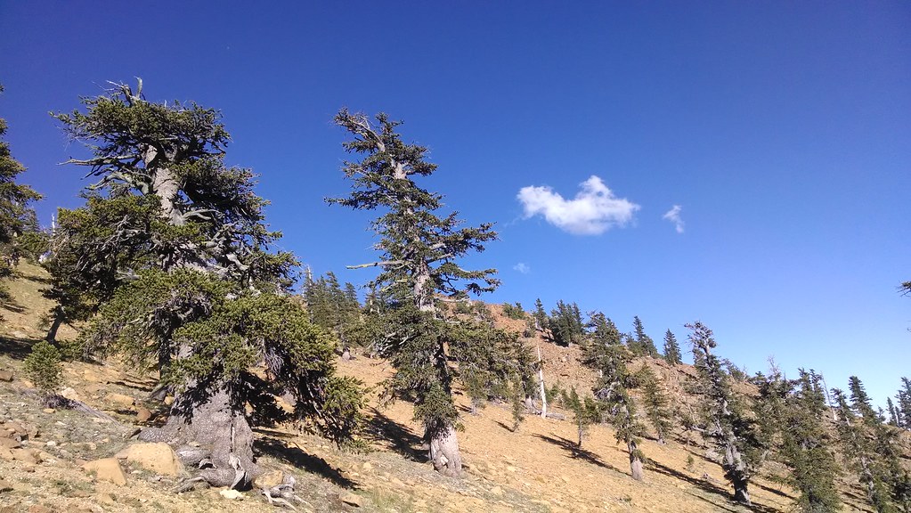 Toad LakeHiking · ~12 min drivePhoto: theforestprimeval, CC BY-SA 2.0 (via Flickr)
- Fen Nature Trail (Sisson)Hiking · ~5 min drivePhoto: Curt Kline, CC BY 3.0 (via Wikimedia Commons)
- Pacific Crest National Scenic Trail #2000Hiking · ~7 min drivePhoto: Curt Kline, CC BY 3.0 (via Wikimedia Commons)
- Sisson Callahan TrailHiking · ~11 min drivePhoto: theforestprimeval, CC BY-SA 2.0 (via Flickr)
- Pacific Crest National Scenic Trail #2000Hiking · ~1 min drive
- Pacific Crest TrailHiking · ~4 min drive
 Pacific Crest TrailHiking · ~17 min drivePhoto: randomduck, CC BY-SA 2.0 (via Flickr)

