Horse Creek
- 3.3 mi
- round trip
- 2,800 ft
- climb
- 3,389 ft
- high point
- Out and back
- route
- Mar–Jun, Sep–Oct
- best months
Is HORSE CREEK open right now?
Alert in the area
The Forest Service lists 2 alerts for Klamath National Forest.
Temporarily closure of approximately 3.5 miles of National Forest System Roads 47N01
Agency alert covering Klamath National Forest · Order 05-05-00-26-08 · USFS · Klamath National Forest
Grayback Road Repairs
Agency alert covering Klamath National Forest · USFS · Klamath National Forest
As of · Source: USFS · Klamath National Forest. Agencies don't list every closure — check before you go.
Horse Creek is a 6.7-mile out-and-back hike in the Oak Knoll Ranger District of Klamath National Forest in northern California, managed by the Forest Service. The trail climbs steadily from a starting point of about 2,280 feet to a high point of 3,389 feet, with a total gain of 2,800 feet and a round-trip drop of the same. The steepest section comes at about 2.8 miles in, where the grade reaches 37 percent. Late spring and early fall are the most comfortable times to go. Typical averages from a nearby weather station in Yreka show May highs around 74°F and October highs near 70°F, while July and August average in the low 90s. The route takes about 3.5 hours to complete. Several other outings lie within a short drive, including the Seiad Creek paddling route, the West Fork Seiad Creek and Darkey Creek hikes, and Sarah Totten Campground.
Local outfitters
- Applegate Trail Rides26 mi away
- Ashland Family YMCA29 mi away
Not on Roamze yet. Their page has how to reach them.
- Seiad CreekCanoeing4 mi
- West Fork Seiad CreekHiking4.1 mi
- Darkey CreekHiking5 mi
- Cook and Green TrailHiking5.6 mi
- Horse Camp TrailHiking6.2 mi
- Sarah Totten CampgroundCamping6.3 mi
- Fort GoffCamping9 mi
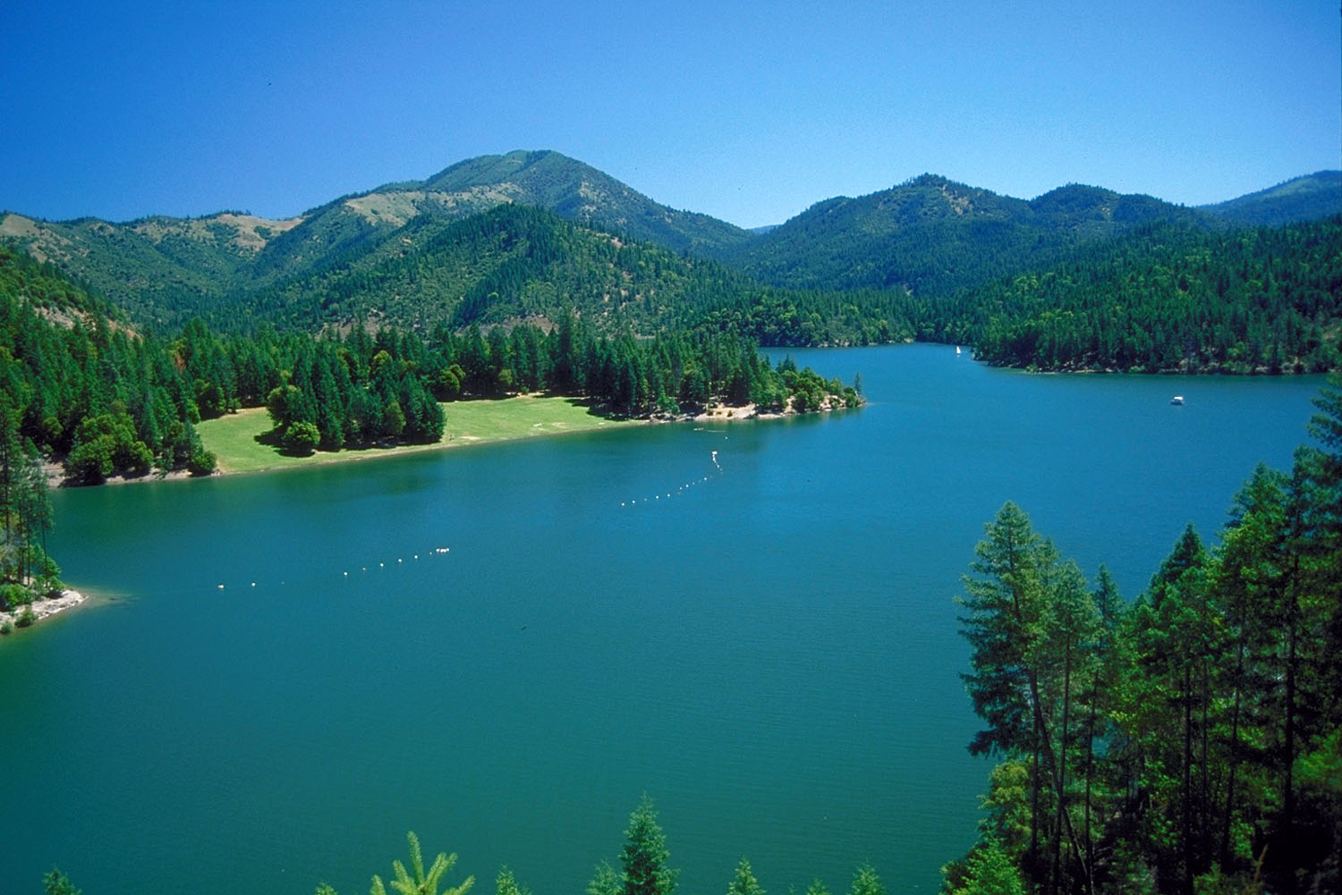 Applegate RiverCanoeingPhoto: Bill Johnson, U.S. Army Corps of Engineers, Public domain (via Wikimedia Commons)9.2 mi
Source: Roamze catalog (indexable pages within 10 miles, PostGIS distance)
 ELLIOTT RIDGEHiking · ~17 min drivePhoto: n.p.young, CC BY 3.0 (via Wikimedia Commons)
 Cut OffHiking · ~20 min drivePhoto: n.p.young, CC BY 3.0 (via Wikimedia Commons)
 Maple DellHiking · ~21 min drivePhoto: Curt Kline, CC BY 3.0 (via Wikimedia Commons)
- Horse Camp TrailHiking · ~11 min drive
- PayetteHiking · ~18 min drivePhoto: n.p.young, CC BY 3.0 (via Wikimedia Commons)
- No NameHiking · ~12 min drive
- Tin CupHiking · ~11 min drive
- Pacific Crest National Scenic TrailHiking · ~12 min drive
 Da-Ku-Be-Te-DeHiking · ~19 min drivePhoto: n.p.young, CC BY 3.0 (via Wikimedia Commons)
- Pacific Crest National Scenic TrailHiking · ~13 min drive
Best time to visit HORSE CREEK
Best months: March–June and September–October. Best months have typical highs of 55–85 °F, lows of 30 °F or warmer (32 °F where the station doesn't record snow), at most one snowy day and no more than 12 wet days.
Jan
46° / 27°
13 wet
Feb
52° / 29°
10 wet
Mar
58° / 32°
11 wet
Apr
64° / 37°
9 wet
May
74° / 43°
8 wet
Jun
83° / 49°
4 wet
Jul
93° / 55°
3 wet
Aug
92° / 54°
2 wet
Sep
84° / 47°
2 wet
Oct
70° / 38°
5 wet
Nov
54° / 31°
10 wet
Dec
45° / 27°
13 wet
Typical high / low (°F) and days with rain or snow, 1991–2020. Measured at Yreka, CA, 25.7 mi away at 2,709 ft. The station sits about 700 ft lower than this place, so expect it a little cooler here. This station doesn't record snowfall. Source: NOAA NCEI U.S. Climate Normals 1991–2020.
