Hayes Meadows
- 2.4 mi
- round trip
- 61 ft
- climb
- 4,998 ft
- high point
- Out and back
- route
- Apr–Oct
- best months
Is Hayes Meadows open right now?
Alert in the area
The Forest Service lists 2 alerts for Klamath National Forest.
Temporarily closure of approximately 3.5 miles of National Forest System Roads 47N01
Agency alert covering Klamath National Forest · Order 05-05-00-26-08 · USFS · Klamath National Forest
Grayback Road Repairs
Agency alert covering Klamath National Forest · USFS · Klamath National Forest
As of · Source: USFS · Klamath National Forest. Agencies don't list every closure — check before you go.
Hayes Meadows is an easy, short hike in the Marble Mountain Wilderness, part of the Scott River Ranger District of Klamath National Forest in California. The trail is about 2.4 miles long, with a low point of 4,934 feet and a high of 4,998 feet, and it is an out-and-back route with a total elevation gain of about 61 feet. The Forest Service manages the land, and the trail surface is natural. The route is gentle, with only a small climb between the two ends of the out-and-back. Summer is the most comfortable time to go. Typical averages from a nearby weather station at Mt Shasta show July and August highs around 85°F with only about two wet days a month, while winter brings highs in the low 40s and roughly 12 to 13 wet days a month. Several other trails sit about 1.8 miles away, including Campbell Cutoff Trail, Cliff Lake and Bull Meadows. Paddlers can reach the Right Hand Fork North Fork Salmon River about 4.2 miles off.
Local outfitters
- Applegate Trail Rides50 mi away
Not on Roamze yet. Their page has how to reach them.
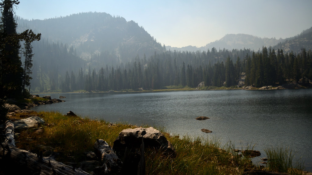 Campbell Cutoff TrailHikingPhoto: Tom Hilton, CC BY 2.0 (via Flickr)1.8 mi
- Cliff LakeHikingPhoto: Tom Hilton, CC BY 2.0 (via Flickr)1.8 mi
 Bull MeadowsHikingPhoto: Tom Hilton, CC BY 2.0 (via Flickr)1.8 mi
- Right Hand Fork North Fork Salmon RiverCanoeing4.2 mi
- Shackleford CreekCanoeing6.2 mi
- Marble MountainRock climbing6.3 mi
- Karst CragRock climbing7.2 mi
- Indian Scotty Group SiteCamping8.2 mi
Source: Roamze catalog (indexable pages within 10 miles, PostGIS distance)
- Campbell Cutoff TrailHiking · ~3 min drivePhoto: Tom Hilton, CC BY 2.0 (via Flickr)
- Campbell LakeHiking · ~4 min drivePhoto: Tom Hilton, CC BY 2.0 (via Flickr)
 Red RockHiking · ~10 min drivePhoto: Calaina, CC BY-SA 3.0 (via Wikimedia Commons)
- Bull MeadowsHiking · ~3 min drivePhoto: Tom Hilton, CC BY 2.0 (via Flickr)
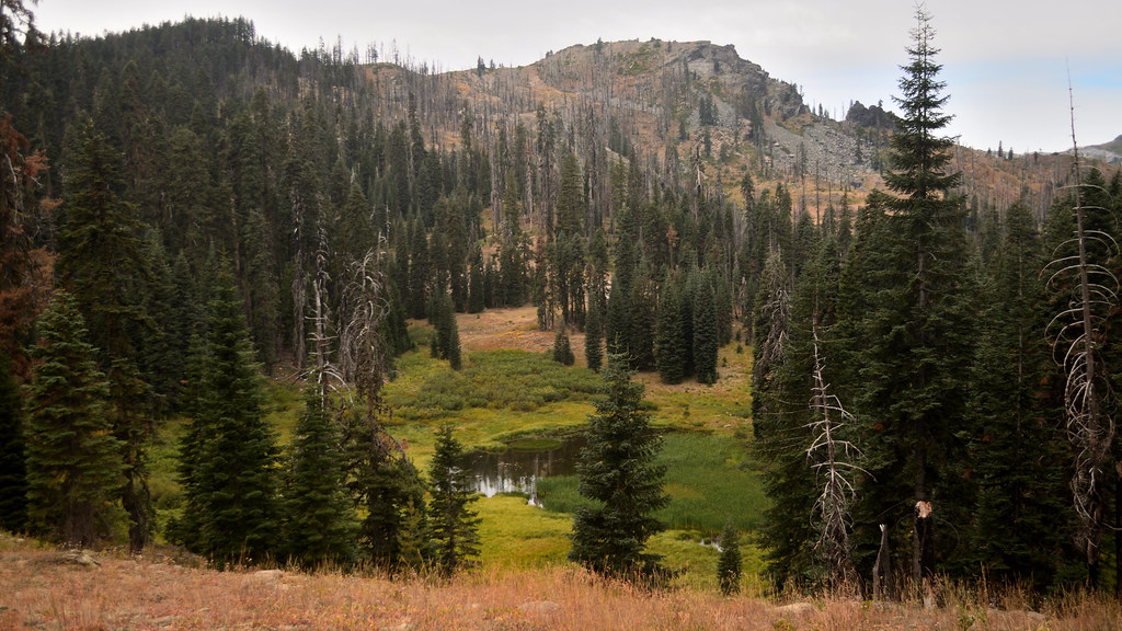 Cold SpringHiking · ~7 min drivePhoto: Tom Hilton, CC BY 2.0 (via Flickr)
 HaypressHiking · ~11 min drivePhoto: Calaina, CC BY-SA 3.0 (via Wikimedia Commons)
- CAMPBELL CUTOFFHiking · ~4 min drivePhoto: Tom Hilton, CC BY 2.0 (via Flickr)
- Shadow LakeHiking · ~8 min drivePhoto: Tom Hilton, CC BY 2.0 (via Flickr)
- Canyon CreekHiking · ~11 min drivePhoto: Calaina, CC BY-SA 3.0 (via Wikimedia Commons)
- Campbell Lake TrailHiking · ~4 min drivePhoto: Tom Hilton, CC BY 2.0 (via Flickr)
Best time to visit Hayes Meadows
Best months: April–October. Best months have typical highs of 55–85 °F, lows of 30 °F or warmer (32 °F where the station doesn't record snow), at most one snowy day and no more than 12 wet days.
Jan
44° / 29°
12 wet
Feb
47° / 29°
12 wet
Mar
53° / 32°
13 wet
Apr
59° / 35°
11 wet
May
69° / 41°
8 wet
Jun
76° / 47°
4 wet
Jul
85° / 52°
2 wet
Aug
85° / 50°
2 wet
Sep
78° / 45°
3 wet
Oct
65° / 37°
6 wet
Nov
51° / 31°
10 wet
Dec
42° / 28°
13 wet
Typical high / low (°F) and days with rain or snow, 1991–2020. Measured at Mt Shasta, CA, 41.1 mi away at 3,535 ft. The station sits about 1,500 ft lower than this place, so expect it a little cooler here. This station doesn't record snowfall. Source: NOAA NCEI U.S. Climate Normals 1991–2020.
